Estimated Value: $258,000 - $284,000
4
Beds
2
Baths
1,584
Sq Ft
$173/Sq Ft
Est. Value
About This Home
This home is located at 602 Yorkshire St, Salem, VA 24153 and is currently estimated at $273,385, approximately $172 per square foot. 602 Yorkshire St is a home located in Salem City with nearby schools including East Salem Elementary School, Andrew Lewis Middle School, and Salem High School.
Ownership History
Date
Name
Owned For
Owner Type
Purchase Details
Closed on
Nov 20, 2012
Sold by
Wilson Harry L and Wilson Donna K
Bought by
Terry Anthony Wayne
Current Estimated Value
Home Financials for this Owner
Home Financials are based on the most recent Mortgage that was taken out on this home.
Original Mortgage
$132,554
Outstanding Balance
$91,597
Interest Rate
3.39%
Mortgage Type
FHA
Estimated Equity
$181,788
Create a Home Valuation Report for This Property
The Home Valuation Report is an in-depth analysis detailing your home's value as well as a comparison with similar homes in the area
Home Values in the Area
Average Home Value in this Area
Purchase History
| Date | Buyer | Sale Price | Title Company |
|---|---|---|---|
| Terry Anthony Wayne | $135,000 | Performance Title |
Source: Public Records
Mortgage History
| Date | Status | Borrower | Loan Amount |
|---|---|---|---|
| Open | Terry Anthony Wayne | $132,554 |
Source: Public Records
Tax History Compared to Growth
Tax History
| Year | Tax Paid | Tax Assessment Tax Assessment Total Assessment is a certain percentage of the fair market value that is determined by local assessors to be the total taxable value of land and additions on the property. | Land | Improvement |
|---|---|---|---|---|
| 2025 | $1,141 | $193,400 | $40,000 | $153,400 |
| 2024 | $1,053 | $175,500 | $38,200 | $137,300 |
| 2023 | $1,946 | $162,200 | $35,300 | $126,900 |
| 2022 | $1,739 | $144,900 | $30,600 | $114,300 |
| 2021 | $1,686 | $140,500 | $29,000 | $111,500 |
| 2020 | $1,559 | $129,900 | $29,000 | $100,900 |
| 2019 | $1,434 | $119,500 | $29,000 | $90,500 |
| 2018 | $1,398 | $118,500 | $29,000 | $89,500 |
| 2017 | $1,294 | $109,700 | $29,000 | $80,700 |
| 2016 | $1,294 | $109,700 | $29,000 | $80,700 |
| 2015 | $1,218 | $103,200 | $27,000 | $76,200 |
| 2014 | $1,218 | $103,200 | $27,000 | $76,200 |
Source: Public Records
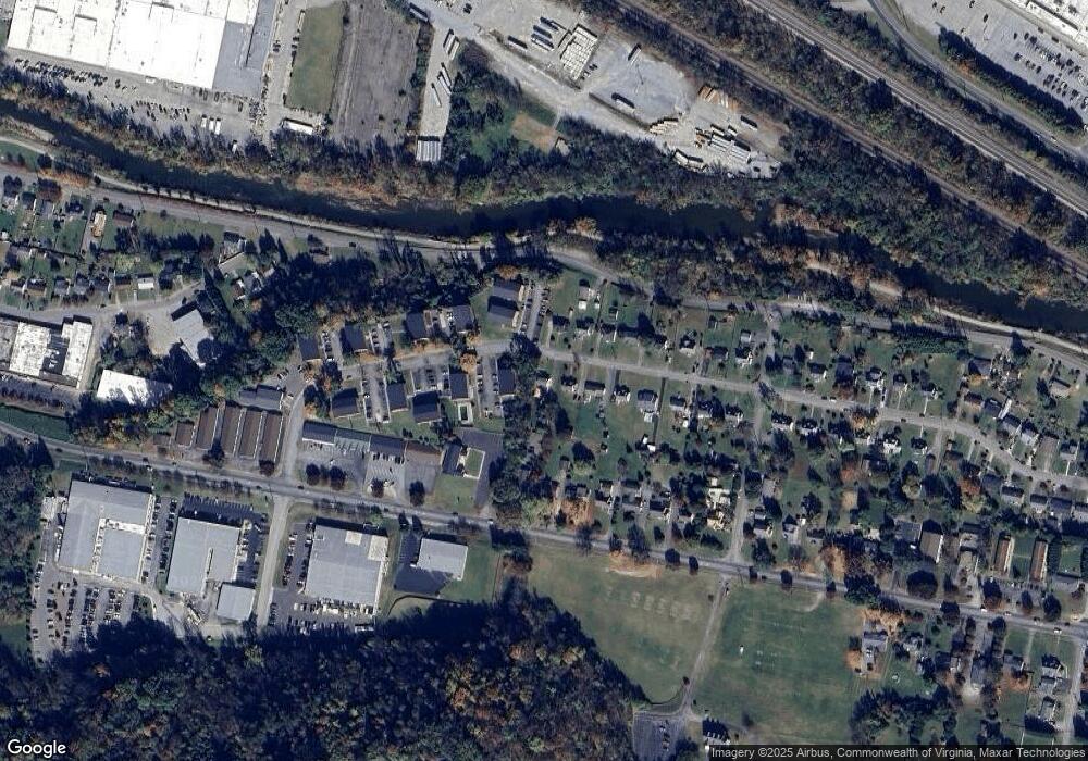
Map
Nearby Homes
- 303 Riverland Dr
- 1204 Carolina Ave
- 1114 Carolina Ave
- 216 Bowman Ave
- 234 Kimball Ave
- 402 E 7th St
- 407 Kimball Ave
- 409 Kimball Ave
- 411 Kimball Ave
- 415 Kimball Ave
- 1002 Roanoke Blvd
- 137 Parker Ln
- 938 Roanoke Blvd
- 2409 S Clearing Rd
- 121 Parker Ln
- 134 Parker Ln
- 130 Parker Ln
- 122 Parker Ln
- 178 Forest Dr
- 1930 McVitty Rd
- 608 Yorkshire St
- 614 Yorkshire St
- 620 Yorkshire St
- 609 Apperson Dr
- 603 Apperson Dr
- 603 Yorkshire St
- 609 Yorkshire St
- 615 Apperson Dr
- 615 Yorkshire St
- 529 Apperson Dr
- 628 Yorkshire St
- 623 Apperson Dr
- 623 Yorkshire St
- 629 Apperson Dr
- 510 Yorkshire St
- 427 Apperson Dr
- 634 Yorkshire St
- 629 Yorkshire St
- 424 Yorkshire St
- 424 Yorkshire St