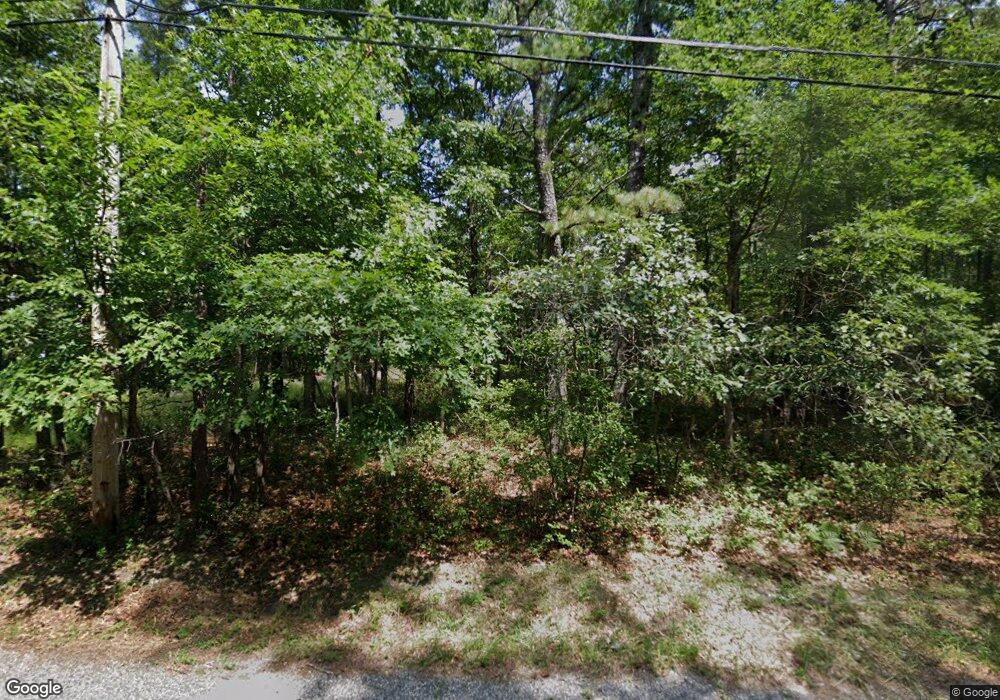
6020 Baker Ave Mays Landing, NJ 08330
Estimated Value: $378,000 - $469,000
3
Beds
2
Baths
1,540
Sq Ft
$282/Sq Ft
Est. Value
About This Home
This home is located at 6020 Baker Ave, Mays Landing, NJ 08330 and is currently estimated at $434,143, approximately $281 per square foot. 6020 Baker Ave is a home located in Atlantic County with nearby schools including Joseph Shaner School, George L. Hess Educational Complex, and William Davies Middle School.
Ownership History
Date
Name
Owned For
Owner Type
Purchase Details
Closed on
Dec 26, 2013
Sold by
Hand Christine M
Bought by
Zaccagnino Michael
Current Estimated Value
Home Financials for this Owner
Home Financials are based on the most recent Mortgage that was taken out on this home.
Original Mortgage
$200,000
Outstanding Balance
$150,115
Interest Rate
4.24%
Mortgage Type
New Conventional
Estimated Equity
$284,028
Purchase Details
Closed on
Mar 31, 2006
Sold by
Pensco Trust Company
Bought by
Zaccagnino Michael and Hand Christine
Purchase Details
Closed on
Jun 27, 2005
Sold by
Turner Howard Wesley
Bought by
Pensco Trust Co
Create a Home Valuation Report for This Property
The Home Valuation Report is an in-depth analysis detailing your home's value as well as a comparison with similar homes in the area
Home Values in the Area
Average Home Value in this Area
Purchase History
| Date | Buyer | Sale Price | Title Company |
|---|---|---|---|
| Zaccagnino Michael | -- | None Available | |
| Zaccagnino Michael | $110,000 | -- | |
| Pensco Trust Co | $37,000 | Congress Title |
Source: Public Records
Mortgage History
| Date | Status | Borrower | Loan Amount |
|---|---|---|---|
| Open | Zaccagnino Michael | $200,000 |
Source: Public Records
Tax History Compared to Growth
Tax History
| Year | Tax Paid | Tax Assessment Tax Assessment Total Assessment is a certain percentage of the fair market value that is determined by local assessors to be the total taxable value of land and additions on the property. | Land | Improvement |
|---|---|---|---|---|
| 2025 | $8,392 | $244,600 | $55,400 | $189,200 |
| 2024 | $8,392 | $244,600 | $55,400 | $189,200 |
| 2023 | $7,891 | $244,600 | $55,400 | $189,200 |
| 2022 | $7,891 | $244,600 | $55,400 | $189,200 |
| 2021 | $7,874 | $244,600 | $55,400 | $189,200 |
| 2020 | $7,874 | $244,600 | $55,400 | $189,200 |
| 2019 | $7,893 | $244,600 | $55,400 | $189,200 |
| 2018 | $7,617 | $244,600 | $55,400 | $189,200 |
| 2017 | $7,497 | $244,600 | $55,400 | $189,200 |
| 2016 | $7,287 | $244,600 | $55,400 | $189,200 |
| 2015 | $7,040 | $244,600 | $55,400 | $189,200 |
| 2014 | $6,925 | $263,600 | $64,300 | $199,300 |
Source: Public Records
Map
Nearby Homes
- 6141 Harley Ave
- 0 Wheeling Ave Unit NJAC2018470
- 508 13th Ave
- 0 Merton Ave Unit NJAC2020566
- 6752 Harding Hwy
- 6361 Beacon Ave
- 13 S Jersey Ave
- 0 South Ave
- 6839 Harding Hwy
- 400 10th Ave
- 15, 17, & 19 Cape May Ave
- 301 Broad St
- 31 S Jersey Ave
- 329 Millville Ave
- Bl 5.01 Lot 2 Cape May Ave
- 38 Cape May Ave
- 0 Railroad Blvd
- 603 16th St
- 6414 Strand Ave
- 1101 11th Ave
- 6030 Baker Ave
- 6000 Baker Ave
- 5960 Baker Ave
- 5961 Baker Ave
- 5956 Baker Ave
- 5954 Baker Ave
- 5952 Baker Ave
- 0 Milleville
- 0 Baker Ave Unit 345022
- 0 Baker Ave Unit 438270
- 0 Baker Ave Unit 471537
- 0 Baker Ave Unit 561028
- 0 Baker Ave Unit NJAC2003452
- 0 Baker Ave Unit 559538
- Millville Millville Ave
- 6771 Millville Ave
- 6783 Millville Ave
- 6733 Millville Ave
- 6733 Millville Ave
- 5961 Harley Ave
