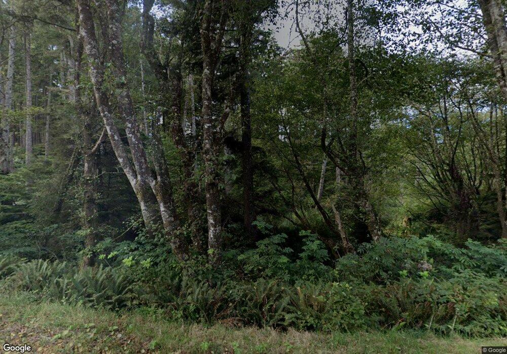
6020 Cape Meares Loop Tillamook, OR 97141
Estimated Value: $362,000 - $507,000
1
Bed
1
Bath
384
Sq Ft
$1,124/Sq Ft
Est. Value
About This Home
This home is located at 6020 Cape Meares Loop, Tillamook, OR 97141 and is currently estimated at $431,760, approximately $1,124 per square foot. 6020 Cape Meares Loop is a home with nearby schools including Tillamook High School.
Ownership History
Date
Name
Owned For
Owner Type
Purchase Details
Closed on
Mar 6, 2024
Sold by
Jon P Anderson Trust
Bought by
Tern L Anderson Trust and Anderson
Current Estimated Value
Purchase Details
Closed on
Apr 1, 2020
Sold by
Quinn Donald R and Shirley A Quinn Revocable Trus
Bought by
Quinn Donald R and Quinn Toni A
Create a Home Valuation Report for This Property
The Home Valuation Report is an in-depth analysis detailing your home's value as well as a comparison with similar homes in the area
Home Values in the Area
Average Home Value in this Area
Purchase History
| Date | Buyer | Sale Price | Title Company |
|---|---|---|---|
| Tern L Anderson Trust | -- | None Listed On Document | |
| Toni A Quinn Lifetime Trust | -- | None Listed On Document | |
| Quinn Donald R | -- | None Available | |
| Quinn Donald R | -- | None Available |
Source: Public Records
Tax History Compared to Growth
Tax History
| Year | Tax Paid | Tax Assessment Tax Assessment Total Assessment is a certain percentage of the fair market value that is determined by local assessors to be the total taxable value of land and additions on the property. | Land | Improvement |
|---|---|---|---|---|
| 2024 | $1,909 | $185,010 | $125,300 | $59,710 |
| 2023 | $1,899 | $179,630 | $121,660 | $57,970 |
| 2022 | $1,834 | $174,400 | $118,120 | $56,280 |
| 2021 | $1,782 | $169,330 | $114,690 | $54,640 |
| 2020 | $1,735 | $164,400 | $111,350 | $53,050 |
| 2019 | $1,694 | $159,620 | $108,120 | $51,500 |
| 2018 | $1,653 | $154,980 | $104,980 | $50,000 |
| 2017 | $1,614 | $150,470 | $101,930 | $48,540 |
| 2016 | $1,554 | $146,090 | $98,960 | $47,130 |
| 2015 | $1,526 | $141,840 | $96,080 | $45,760 |
| 2014 | $1,505 | $137,710 | $93,280 | $44,430 |
| 2013 | -- | $133,700 | $90,560 | $43,140 |
Source: Public Records
Map
Nearby Homes
- 5520 6th St NW
- 1500 Netarts Hwy W
- 0 Norwester Rd Unit 800 647374654
- 1820 Maxwell Mountain Rd
- 1685 Chinook Ave
- 0 Lot 5 of Block 15 Chinook Ave Unit 12500 25-436
- 0 Chinook Ave Unit 5 166135339
- 0 Chinook Ave Unit Tax Lot 11801 24-606
- 0 Chinook Ave Unit TL11801 24464111
- 5430 Grand Ave
- 1816 Maxwell Mountain Rd
- 0 Ocean St Unit 688526158
- 0 Ocean St Unit 536235930
- 1655 Portland Ave
- Lot 47 S Ridge Dr Unit 47
- Lot 46 S Ridge Dr
- 0 South Ridge Unit Lot46 22076563
- Lot 44 S Ridge Dr Unit 44
- 1505 Pacific Ave
- 0 North Ridge Unit Lot22 22405376
- 6113 13th St NW
- 6115 13th St NW
- 6613 Thirteenth St
- 6105 13th St NW
- 6613 13th St NW
- 4225 Bayocean Rd NW
- 500 Bay Ocean (T L) Rd
- 5995 12th St NW
- VL 1 01 Acre Bayocean Rd
- 0 12th St NW
- 6950 Bayocean Rd NW
- 4315 Meares Ave NW
- 5975 12th St NW
- 4315 Bayocean Rd NW
- 4315 Bayocean Rd W
- 5905 12th St NW
- 5905 Twelfth St
- 6930 Bayocean Rd NW
- 4 Tax Lots NW Bayocean Rd
- 5875 12th St NW
