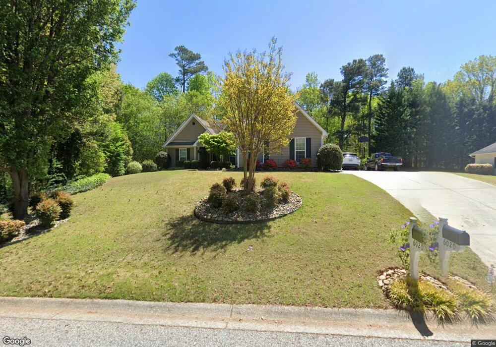
6020 Devonshire Dr Flowery Branch, GA 30542
Estimated Value: $338,135 - $398,000
3
Beds
2
Baths
1,568
Sq Ft
$238/Sq Ft
Est. Value
About This Home
This home is located at 6020 Devonshire Dr, Flowery Branch, GA 30542 and is currently estimated at $373,034, approximately $237 per square foot. 6020 Devonshire Dr is a home located in Hall County with nearby schools including Friendship Elementary School, C.W. Davis Middle School, and Flowery Branch High School.
Ownership History
Date
Name
Owned For
Owner Type
Purchase Details
Closed on
Jul 3, 2002
Sold by
Samuels Robert E
Bought by
Gilliam Michael E and Gilliam Yvonne M
Current Estimated Value
Home Financials for this Owner
Home Financials are based on the most recent Mortgage that was taken out on this home.
Original Mortgage
$114,000
Interest Rate
6.79%
Mortgage Type
New Conventional
Purchase Details
Closed on
Jul 30, 1999
Sold by
Northridge Homes Inc
Bought by
Samuels Robert E
Home Financials for this Owner
Home Financials are based on the most recent Mortgage that was taken out on this home.
Original Mortgage
$90,000
Interest Rate
7.58%
Mortgage Type
New Conventional
Purchase Details
Closed on
Apr 26, 1999
Sold by
Cornerstone Equity Group Llc
Bought by
Northridge Homes Inc
Create a Home Valuation Report for This Property
The Home Valuation Report is an in-depth analysis detailing your home's value as well as a comparison with similar homes in the area
Home Values in the Area
Average Home Value in this Area
Purchase History
| Date | Buyer | Sale Price | Title Company |
|---|---|---|---|
| Gilliam Michael E | $155,000 | -- | |
| Samuels Robert E | $135,100 | -- | |
| Northridge Homes Inc | $207,000 | -- |
Source: Public Records
Mortgage History
| Date | Status | Borrower | Loan Amount |
|---|---|---|---|
| Closed | Gilliam Michael E | $114,000 | |
| Previous Owner | Samuels Robert E | $90,000 |
Source: Public Records
Tax History Compared to Growth
Tax History
| Year | Tax Paid | Tax Assessment Tax Assessment Total Assessment is a certain percentage of the fair market value that is determined by local assessors to be the total taxable value of land and additions on the property. | Land | Improvement |
|---|---|---|---|---|
| 2024 | $3,607 | $140,776 | $26,560 | $114,216 |
| 2023 | $3,692 | $143,960 | $29,560 | $114,400 |
| 2022 | $3,158 | $117,440 | $32,600 | $84,840 |
| 2021 | $2,611 | $94,320 | $22,560 | $71,760 |
| 2020 | $2,495 | $87,320 | $16,040 | $71,280 |
| 2019 | $2,487 | $86,280 | $17,560 | $68,720 |
| 2018 | $2,127 | $70,680 | $13,760 | $56,920 |
| 2017 | $1,978 | $66,160 | $8,640 | $57,520 |
| 2016 | $1,872 | $63,920 | $8,640 | $55,280 |
| 2015 | $1,685 | $62,840 | $14,280 | $48,560 |
| 2014 | $1,685 | $56,720 | $14,280 | $42,440 |
Source: Public Records
Map
Nearby Homes
- 6082 Hillsdale Cir
- 6001 Devonshire Dr
- 5565 Hog Mountain Rd
- 6307 Bluegrass Ln
- 5361 Hog Mountain Rd
- 5415 Falls Landing Dr
- 5739 Boulder Ridge Ct
- 5730 Boulder Ridge Ct
- 6103 Portsmouth Dr
- 5385 Timber Wild Ln
- 5333 Birchland Ct
- 6104 Saddlehorse Dr
- 6306 Water Haven Way
- 6201 Southport Dr
- 7020 Cottage Grove Dr
- 6016 Devonshire Dr
- 6024 Devonshire Dr Unit 1
- 0 Devonshire Dr Unit 8709515
- 0 Devonshire Dr Unit 8658845
- 0 Devonshire Dr Unit 8647757
- 0 Devonshire Dr Unit 8597366
- 0 Devonshire Dr Unit 8554908
- 0 Devonshire Dr Unit 8523484
- 0 Devonshire Dr Unit 8469186
- 0 Devonshire Dr Unit 8458777
- 0 Devonshire Dr Unit 8426219
- 0 Devonshire Dr Unit 8401564
- 0 Devonshire Dr Unit 8918497
- 0 Devonshire Dr Unit 8715892
- 0 Devonshire Dr Unit 8008597
- 0 Devonshire Dr Unit 7174581
- 0 Devonshire Dr Unit 9016076
- 0 Devonshire Dr Unit 9054351
- 0 Devonshire Dr Unit 8749272
- 0 Devonshire Dr Unit 8812963