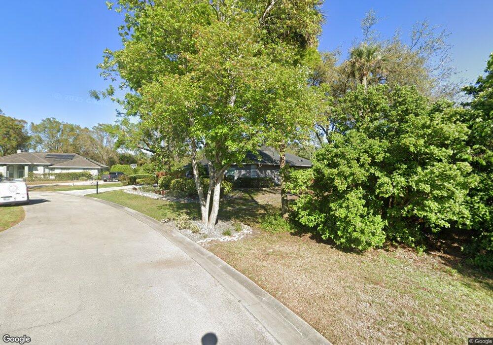
6020 Sawgrass Point Dr Port Orange, FL 32128
Port Orange West NeighborhoodEstimated Value: $494,000 - $562,613
3
Beds
3
Baths
2,889
Sq Ft
$186/Sq Ft
Est. Value
About This Home
This home is located at 6020 Sawgrass Point Dr, Port Orange, FL 32128 and is currently estimated at $536,403, approximately $185 per square foot. 6020 Sawgrass Point Dr is a home located in Volusia County with nearby schools including Sweetwater Elementary School, Creekside Middle School, and Spruce Creek High School.
Ownership History
Date
Name
Owned For
Owner Type
Purchase Details
Closed on
Dec 13, 2010
Sold by
Robinson David Michael and Robinson Lori
Bought by
Robinson Lori
Current Estimated Value
Purchase Details
Closed on
Dec 28, 1995
Sold by
Robinson Lori and Robinson David Michael
Bought by
Robinson David Michael and Robinson Lori
Purchase Details
Closed on
Nov 30, 1995
Sold by
Becks Berrien
Bought by
Robinson Lori
Purchase Details
Closed on
Nov 9, 1995
Sold by
B M P Inc
Bought by
Becks Berrien
Create a Home Valuation Report for This Property
The Home Valuation Report is an in-depth analysis detailing your home's value as well as a comparison with similar homes in the area
Home Values in the Area
Average Home Value in this Area
Purchase History
| Date | Buyer | Sale Price | Title Company |
|---|---|---|---|
| Robinson Lori | -- | Attorney | |
| Robinson David Michael | -- | -- | |
| Robinson Lori | $30,000 | -- | |
| Becks Berrien | -- | -- |
Source: Public Records
Tax History Compared to Growth
Tax History
| Year | Tax Paid | Tax Assessment Tax Assessment Total Assessment is a certain percentage of the fair market value that is determined by local assessors to be the total taxable value of land and additions on the property. | Land | Improvement |
|---|---|---|---|---|
| 2025 | $3,105 | $235,527 | -- | -- |
| 2024 | $3,105 | $228,891 | -- | -- |
| 2023 | $3,105 | $212,189 | $0 | $0 |
| 2022 | $2,999 | $206,009 | $0 | $0 |
| 2021 | $3,066 | $200,009 | $0 | $0 |
| 2020 | $2,985 | $197,248 | $0 | $0 |
| 2019 | $2,885 | $192,813 | $0 | $0 |
| 2018 | $2,885 | $189,218 | $0 | $0 |
| 2017 | $2,895 | $185,326 | $0 | $0 |
| 2016 | $2,908 | $181,514 | $0 | $0 |
| 2015 | $2,997 | $180,252 | $0 | $0 |
| 2014 | $3,008 | $178,821 | $0 | $0 |
Source: Public Records
Map
Nearby Homes
- 6012 Sawgrass Point Dr
- 112 Underbrush Trail
- 102 Underbrush Trail
- 109 Crooked Pine Rd
- 5949 Boggs Ford Rd
- 120 Crooked Pine Rd
- 5953 Boggs Ford Rd
- 5936 Boggs Ford Rd
- 89 Crooked Pine Rd
- 125 Crooked Pine Rd
- 128 Crooked Pine Rd
- 5945 Doraville Dr
- 5935 Shady Creek Ln
- 71 Crooked Pine Rd
- 141 Crooked Pine Rd
- 5949 Kendrew Dr
- 6037 Whispering Trees Ln
- 55 Crooked Pine Rd
- 79 Cypress Pond Rd
- 49 Crooked Pine Rd
- 6022 Sawgrass Point Dr
- 6026 Sawgrass Point Dr
- 839 Stony Point Dr
- 6004 Shady Creek Ln
- 6007 Sawgrass Point Dr
- 5996 Shady Creek Ln
- 6005 Sawgrass Point Dr
- 843 Stony Point Dr
- 5994 Shady Creek Ln
- 6010 Sawgrass Point Dr
- 6003 Sawgrass Point Dr
- 845 Stony Point Dr
- 6007 S Williamson Blvd
- 6008 Sawgrass Point Dr
- 842 Stony Point Dr
- 5990 Shady Creek Ln
- 847 Stony Point Dr
- 6006 Sawgrass Point Dr
- 844 Stony Point Dr
- 6004 Sawgrass Point Dr