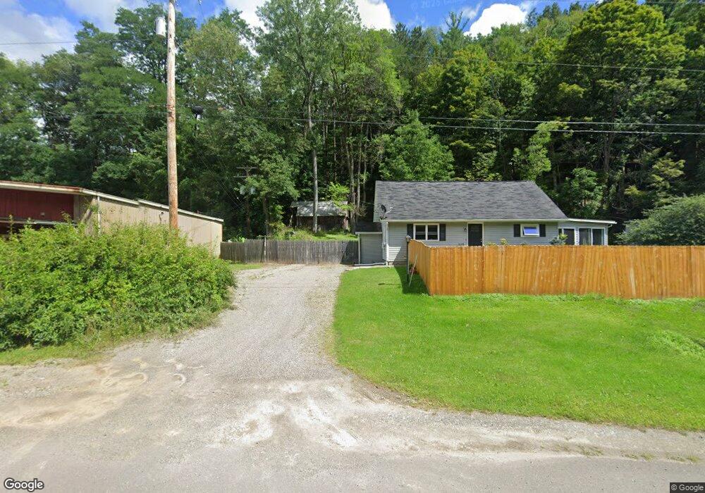
6020 State Route 21 Alfred Station, NY 14803
Estimated Value: $87,000 - $101,000
2
Beds
1
Bath
1,365
Sq Ft
$70/Sq Ft
Est. Value
About This Home
This home is located at 6020 State Route 21, Alfred Station, NY 14803 and is currently estimated at $96,136, approximately $70 per square foot. 6020 State Route 21 is a home located in Allegany County with nearby schools including Alfred-Almond Elementary School and Alfred-Almond Junior/Senior High School.
Ownership History
Date
Name
Owned For
Owner Type
Purchase Details
Closed on
Mar 31, 2021
Sold by
Dodge Brian C Est
Bought by
Dodge Tamara S
Current Estimated Value
Purchase Details
Closed on
Feb 8, 2017
Sold by
Cheek Kimberly G and Wheeler Kimberly G
Bought by
Dodge Brian R
Home Financials for this Owner
Home Financials are based on the most recent Mortgage that was taken out on this home.
Original Mortgage
$59,895
Interest Rate
3.87%
Mortgage Type
FHA
Purchase Details
Closed on
Apr 15, 2004
Sold by
Gesner Nancy K
Bought by
Wheeler Kimberly G
Create a Home Valuation Report for This Property
The Home Valuation Report is an in-depth analysis detailing your home's value as well as a comparison with similar homes in the area
Home Values in the Area
Average Home Value in this Area
Purchase History
| Date | Buyer | Sale Price | Title Company |
|---|---|---|---|
| Dodge Tamara S | -- | None Available | |
| Dodge Brian R | $61,000 | None Available | |
| Wheeler Kimberly G | $35,000 | -- |
Source: Public Records
Mortgage History
| Date | Status | Borrower | Loan Amount |
|---|---|---|---|
| Previous Owner | Dodge Brian R | $59,895 |
Source: Public Records
Tax History Compared to Growth
Tax History
| Year | Tax Paid | Tax Assessment Tax Assessment Total Assessment is a certain percentage of the fair market value that is determined by local assessors to be the total taxable value of land and additions on the property. | Land | Improvement |
|---|---|---|---|---|
| 2024 | $2,495 | $46,740 | $4,940 | $41,800 |
| 2023 | $2,487 | $46,740 | $4,940 | $41,800 |
| 2022 | $2,432 | $46,740 | $4,940 | $41,800 |
| 2021 | $2,442 | $46,740 | $4,940 | $41,800 |
| 2020 | $2,457 | $46,740 | $4,940 | $41,800 |
| 2019 | $2,410 | $46,740 | $4,940 | $41,800 |
| 2018 | $2,410 | $46,740 | $4,940 | $41,800 |
| 2017 | $2,376 | $49,200 | $5,200 | $44,000 |
| 2016 | $2,283 | $49,200 | $5,200 | $44,000 |
| 2015 | -- | $49,200 | $5,200 | $44,000 |
| 2014 | -- | $49,200 | $5,200 | $44,000 |
Source: Public Records
Map
Nearby Homes
- 6280 Shaw Rd
- 6303 Palmiter Rd
- 28 Hillcrest Dr
- 3 N Main St
- 41 Sayles St
- 29 S Main St
- 1 Reynolds St
- 0 Clark Road Extension
- 0 Clark Road Extension
- 0 Clark Rd
- 0 Clark Rd
- 50 High St
- 52 High St
- 568 Buckley Ln
- 0 E Valley Rd Unit S1632852
- 0 E Valley Rd Unit S1632835
- 1604 Moland Rd
- 7130 Whitney Valley Rd
- 402 Whitney Valley Heights
- 422 McHenry Valley Rd
- 6030 State Route 21
- 5966 State Route 21
- 6034 Hamilton Hill Rd
- 5940 State Route 21
- 5955 Hamilton Hill Rd
- 6012 Hamilton Hill Rd
- 5972 Hamilton Hill Rd
- 6114 State Route 21
- 6118 State Route 21
- 5926 State Route 21
- 6102 Hamilton Hill Rd
- 6124 State Route 21
- 5910 State Route 21
- 5938 Hamilton Hill Rd
- 6127 Hamilton Hill Rd
- 568 Pleasant Valley Rd
- 5912 Hamilton Hill Rd
- 517 Hartsville Hill Rd
- 6146 State Route 21
- 6144 Hamilton Hill Rd