60201 Stoney Point Rd Vernonia, OR 97064
Estimated Value: $485,322 - $607,000
4
Beds
2
Baths
2,400
Sq Ft
$231/Sq Ft
Est. Value
About This Home
This home is located at 60201 Stoney Point Rd, Vernonia, OR 97064 and is currently estimated at $555,331, approximately $231 per square foot. 60201 Stoney Point Rd is a home located in Columbia County with nearby schools including Vernonia High School.
Ownership History
Date
Name
Owned For
Owner Type
Purchase Details
Closed on
Oct 27, 2015
Sold by
Brandes Susan L
Bought by
Schwab Herbert P and Schwab Susan L
Current Estimated Value
Purchase Details
Closed on
May 15, 2008
Sold by
Gardner John T and Gardner Sheila R
Bought by
Brandes Susan L
Home Financials for this Owner
Home Financials are based on the most recent Mortgage that was taken out on this home.
Original Mortgage
$90,000
Interest Rate
5.88%
Mortgage Type
Purchase Money Mortgage
Create a Home Valuation Report for This Property
The Home Valuation Report is an in-depth analysis detailing your home's value as well as a comparison with similar homes in the area
Home Values in the Area
Average Home Value in this Area
Purchase History
| Date | Buyer | Sale Price | Title Company |
|---|---|---|---|
| Schwab Herbert P | -- | None Available | |
| Brandes Susan L | $325,000 | Columbia County Title |
Source: Public Records
Mortgage History
| Date | Status | Borrower | Loan Amount |
|---|---|---|---|
| Previous Owner | Brandes Susan L | $90,000 |
Source: Public Records
Tax History Compared to Growth
Tax History
| Year | Tax Paid | Tax Assessment Tax Assessment Total Assessment is a certain percentage of the fair market value that is determined by local assessors to be the total taxable value of land and additions on the property. | Land | Improvement |
|---|---|---|---|---|
| 2024 | $3,947 | $311,640 | $127,540 | $184,100 |
| 2023 | $3,926 | $302,570 | $113,630 | $188,940 |
| 2022 | $3,714 | $293,760 | $110,230 | $183,530 |
| 2021 | $3,612 | $285,210 | $102,880 | $182,330 |
| 2020 | $3,518 | $276,910 | $94,760 | $182,150 |
| 2019 | $3,199 | $268,850 | $91,090 | $177,760 |
| 2018 | $3,184 | $261,020 | $107,120 | $153,900 |
| 2017 | $3,117 | $253,420 | $104,000 | $149,420 |
| 2016 | $2,952 | $246,040 | $100,960 | $145,080 |
| 2015 | $2,752 | $238,880 | $107,040 | $131,840 |
| 2014 | $2,593 | $224,700 | $102,980 | $121,720 |
Source: Public Records
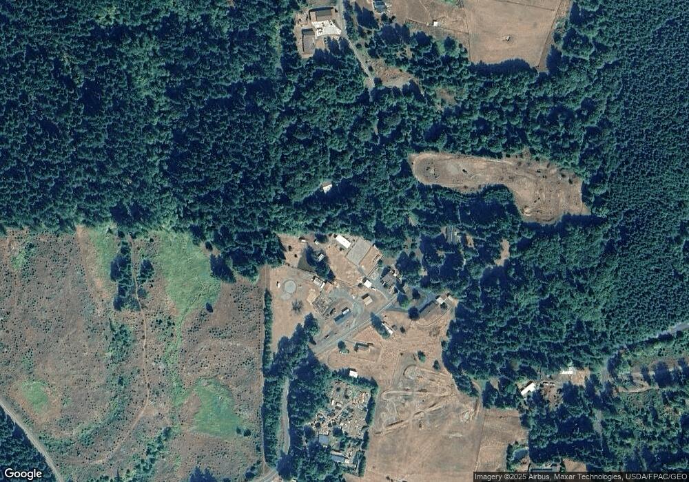
Map
Nearby Homes
- 251 E I St
- 233 E I St
- 158 E H St
- 144 E H St
- 0 Keasey Rd Unit 518725712
- 0000 Keasey Rd
- 0 Nehalem Hwy N
- 0 Ave Unit 439855536
- 1852 N Mist Dr
- 344 Mississippi Ave
- 176 North St
- 821 Bridge St
- 441 North St
- 959 Spencer Ave
- 935 Spencer Ave
- 1160 Rose Ave
- 875 Park Dr
- 927 Spencer Ave
- 669 N Mist Dr
- 1142 Clatsop St
- 60204 Stoney Point Rd
- 60220 Stoney Point Rd
- 60175 Stoney Point Rd
- 60236 Stoney Point Rd
- 60160 Stoney Point Rd
- 60265 Stoney Point Rd
- 602011 Stoney Point Rd
- 60090 Stoney Point Rd
- 18537 Mellinger Rd
- 18731 Mellinger Rd
- 18539 Mellinger Rd
- 60363 Stoney Point Rd
- 18619 Mellinger Rd
- 18368 Mellinger Rd
- 18512 Mellinger Rd
- 18528 Mellinger Rd
- 60396 Stoney Point Rd
- 18638 Mellinger Rd
- 1864 N Louisiana Ave
- 1875 N Louisiana Ave