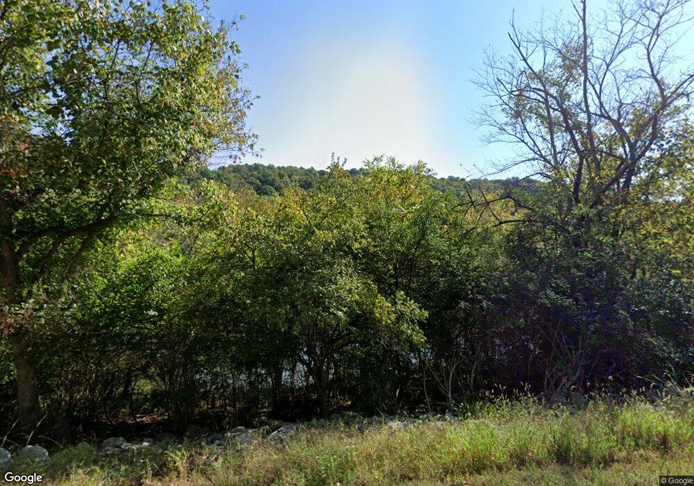
6021 State Route 221 Georgetown, OH 45121
Estimated Value: $258,000 - $305,000
2
Beds
1
Bath
2,280
Sq Ft
$126/Sq Ft
Est. Value
About This Home
This home is located at 6021 State Route 221, Georgetown, OH 45121 and is currently estimated at $286,553, approximately $125 per square foot. 6021 State Route 221 is a home located in Brown County with nearby schools including Ripley Union Lewis Huntington Elementary School, Ripley Union Lewis Huntington Middle School, and Ripley-Union-Lewis-Huntington High School.
Ownership History
Date
Name
Owned For
Owner Type
Purchase Details
Closed on
Mar 15, 2017
Sold by
Butler David Ainsley and Butler Mary Ann
Bought by
Foote Kristy A
Current Estimated Value
Home Financials for this Owner
Home Financials are based on the most recent Mortgage that was taken out on this home.
Original Mortgage
$143,434
Outstanding Balance
$118,877
Interest Rate
4.15%
Mortgage Type
Future Advance Clause Open End Mortgage
Estimated Equity
$167,676
Create a Home Valuation Report for This Property
The Home Valuation Report is an in-depth analysis detailing your home's value as well as a comparison with similar homes in the area
Home Values in the Area
Average Home Value in this Area
Purchase History
| Date | Buyer | Sale Price | Title Company |
|---|---|---|---|
| Foote Kristy A | $142,000 | None Available |
Source: Public Records
Mortgage History
| Date | Status | Borrower | Loan Amount |
|---|---|---|---|
| Open | Foote Kristy A | $143,434 |
Source: Public Records
Tax History Compared to Growth
Tax History
| Year | Tax Paid | Tax Assessment Tax Assessment Total Assessment is a certain percentage of the fair market value that is determined by local assessors to be the total taxable value of land and additions on the property. | Land | Improvement |
|---|---|---|---|---|
| 2024 | $1,877 | $60,330 | $20,460 | $39,870 |
| 2023 | $1,877 | $43,050 | $14,060 | $28,990 |
| 2022 | $1,512 | $43,050 | $14,060 | $28,990 |
| 2021 | $1,411 | $43,050 | $14,060 | $28,990 |
| 2020 | $1,301 | $37,440 | $12,230 | $25,210 |
| 2019 | $1,292 | $37,440 | $12,230 | $25,210 |
| 2018 | $1,281 | $37,440 | $12,230 | $25,210 |
| 2017 | $1,227 | $35,400 | $13,450 | $21,950 |
| 2016 | $1,204 | $35,400 | $13,450 | $21,950 |
| 2015 | $1,236 | $35,400 | $13,450 | $21,950 |
| 2014 | $1,236 | $34,180 | $12,230 | $21,950 |
| 2013 | $1,146 | $34,180 | $12,230 | $21,950 |
Source: Public Records
Map
Nearby Homes
- 6049 Big Run Rd
- 312 White Oak St
- 6336 Big Run Rd
- 2845 Mary Ingles Hwy E
- 6387 Free Soil Rd
- 5962 Cahall School House Rd
- 1920 Shinkles Ridge
- 5173 Old A & P
- 4900 Mary Ingles Hwy E
- 307 Hamilton Ave
- 5010 Old A & P Rd
- 508 E 3rd St
- Lot 49 Boudes Ferry Rd
- 4465 W Augusta Chatham Rd
- 7029 Free Soil Rd
- 414 E 2nd St
- 404 E 2nd St
- 401 E 4th St
- 310 E 3rd St
- 305 Bracken St
- 6021 State Route 221
- 5991 State Route 221
- 5991 State Route 221 Unit 29.8ac
- 5991 Ohio 221
- 5951 Ohio 221
- 6043 State Route 221
- 6043 St Rt 221
- 6059 State Route 221
- 6059 Ohio 221
- 5951 St Rt 221
- 6087 State Route 221
- 5905 State Route 221
- 6111 Ohio 221
- 5683 Big Run Rd
- 6234 State Route 221
- 0 Burr Oak Dr Unit 1238420
- 0 Burr Oak Dr Unit 1255079
- 5708 Big Run Rd
- 3054 Burr Oak Dr
- 3114 Burr Oak Dr
