Estimated Value: $133,000 - $323,000
--
Bed
--
Bath
2,508
Sq Ft
$84/Sq Ft
Est. Value
About This Home
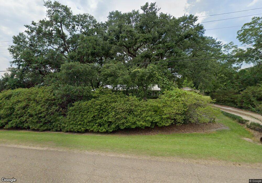
This home is located at 60219 N Bell Rd, Amite, LA 70422 and is currently estimated at $210,895, approximately $84 per square foot. 60219 N Bell Rd is a home located in Tangipahoa Parish with nearby schools including Amite Elementary Magnet School, Amite Westside Middle Magnet, and Amite High Magnet.
Ownership History
Date
Name
Owned For
Owner Type
Purchase Details
Closed on
Jun 3, 2013
Sold by
Mitchell Tena Ranae Champlin and Mitchell Sampson
Bought by
Champlin Albert Iden and Champlin Susan
Current Estimated Value
Purchase Details
Closed on
Nov 21, 2007
Sold by
Champlin Susan Stevens
Bought by
Champlin Susan Stevens and Champlin Albert Iden
Home Financials for this Owner
Home Financials are based on the most recent Mortgage that was taken out on this home.
Original Mortgage
$120,800
Interest Rate
6.43%
Mortgage Type
New Conventional
Create a Home Valuation Report for This Property
The Home Valuation Report is an in-depth analysis detailing your home's value as well as a comparison with similar homes in the area
Home Values in the Area
Average Home Value in this Area
Purchase History
| Date | Buyer | Sale Price | Title Company |
|---|---|---|---|
| Champlin Albert Iden | $8,000 | None Available | |
| Champlin Susan Stevens | -- | Transcontinental Title Co |
Source: Public Records
Mortgage History
| Date | Status | Borrower | Loan Amount |
|---|---|---|---|
| Previous Owner | Champlin Susan Stevens | $120,800 |
Source: Public Records
Tax History Compared to Growth
Tax History
| Year | Tax Paid | Tax Assessment Tax Assessment Total Assessment is a certain percentage of the fair market value that is determined by local assessors to be the total taxable value of land and additions on the property. | Land | Improvement |
|---|---|---|---|---|
| 2024 | $743 | $9,691 | $713 | $8,978 |
| 2023 | $743 | $9,638 | $660 | $8,978 |
| 2022 | $743 | $9,638 | $660 | $8,978 |
| 2021 | $160 | $9,638 | $660 | $8,978 |
| 2020 | $695 | $9,638 | $660 | $8,978 |
| 2019 | $695 | $9,638 | $660 | $8,978 |
| 2018 | $695 | $9,638 | $660 | $8,978 |
| 2017 | $695 | $9,638 | $660 | $8,978 |
| 2016 | $695 | $9,638 | $660 | $8,978 |
| 2015 | $193 | $10,166 | $660 | $9,506 |
| 2014 | $192 | $10,166 | $660 | $9,506 |
Source: Public Records
Map
Nearby Homes
- 60222 N Bell Rd
- 2.431 Acres Highway 16 None
- 2.431 Acres Highway 16
- 17049 Eastwood Dr
- 17317 Airport Rd
- 61083 Doe Run Dr
- 61180 Doe Run Dr
- 60388 Louisiana 1054
- 0 Louisiana 1054
- 62057 Louisiana 1054
- 0 Vfw Rd
- 0 Lot B - Vining Rd
- 62283 Chappepeela Ridge Rd
- TBD Flamenco Rd
- 16259 Quail Trail Rd
- 60181 Anderson Ln
- 18065 Back Ridge Rd
- 16110 Highway 16
- 16110 Louisiana 16
- 16078 Highway 16
- 16078 Highway 16
- 16038 16 Hwy E
- 60149 N Bell Rd
- 17014 Airport Rd
- 16097 Highway 16
- 16111 Highway 16
- 60160 N Bell Rd
- 60180 N Bell Rd
- 60121 N Bell Rd
- 16163 Highway 16
- 60122 N Bell Rd
- 17045 Louisiana 16
- 60108 N Bell Rd
- 17068 Airport Rd
- 63052 Louisiana 1054
- 11A Louisiana 1054
- 11B Louisiana 1054