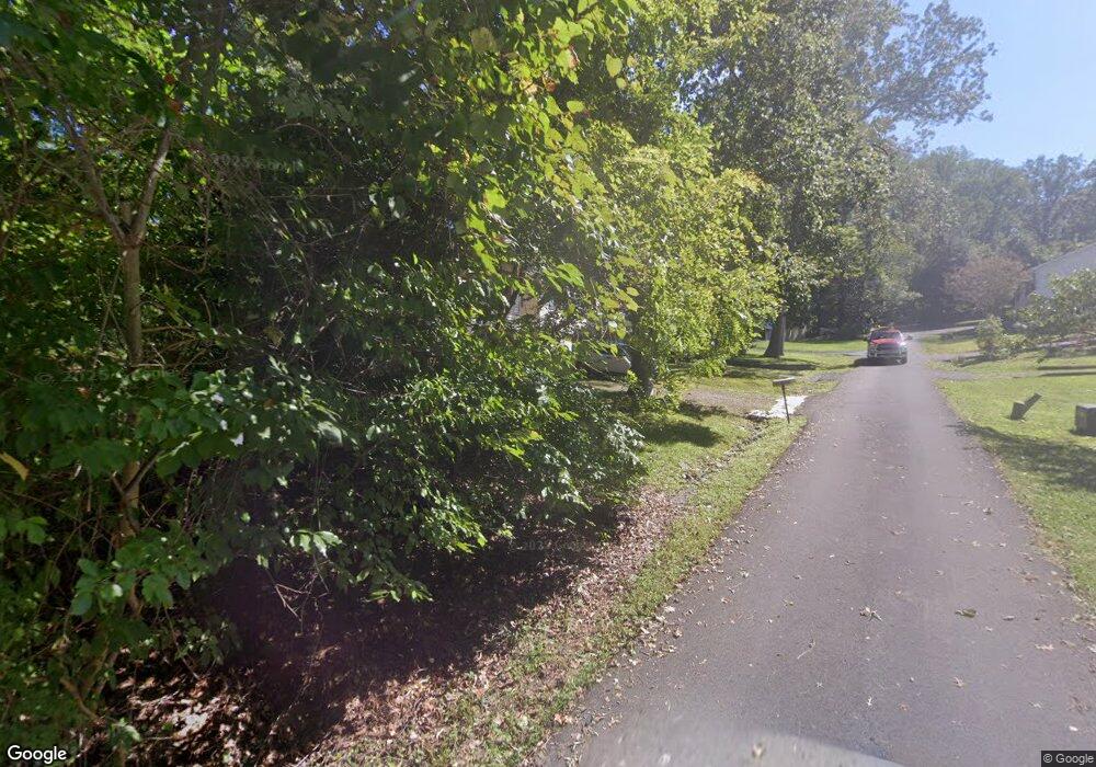
6022 Maple Rd Saint Leonard, MD 20685
Saint Leonard NeighborhoodEstimated Value: $307,206 - $355,000
Studio
2
Baths
1,140
Sq Ft
$282/Sq Ft
Est. Value
About This Home
This home is located at 6022 Maple Rd, Saint Leonard, MD 20685 and is currently estimated at $321,302, approximately $281 per square foot. 6022 Maple Rd is a home located in Calvert County with nearby schools including St Leonard Elementary School, Southern Middle School, and Calvert High School.
Ownership History
Date
Name
Owned For
Owner Type
Purchase Details
Closed on
Sep 20, 1989
Sold by
Turner Michael A and Turner Sherry L
Bought by
Humphreys Joan G
Current Estimated Value
Home Financials for this Owner
Home Financials are based on the most recent Mortgage that was taken out on this home.
Original Mortgage
$84,900
Interest Rate
10.05%
Purchase Details
Closed on
May 9, 1989
Sold by
First Federal Savings & Loan
Bought by
Turner Michael A and Turner Sherry L
Home Financials for this Owner
Home Financials are based on the most recent Mortgage that was taken out on this home.
Original Mortgage
$62,000
Interest Rate
10.97%
Create a Home Valuation Report for This Property
The Home Valuation Report is an in-depth analysis detailing your home's value as well as a comparison with similar homes in the area
Home Values in the Area
Average Home Value in this Area
Purchase History
| Date | Buyer | Sale Price | Title Company |
|---|---|---|---|
| Humphreys Joan G | $83,200 | -- | |
| Turner Michael A | $10,000 | -- |
Source: Public Records
Mortgage History
| Date | Status | Borrower | Loan Amount |
|---|---|---|---|
| Closed | Humphreys Joan G | $84,900 | |
| Previous Owner | Turner Michael A | $62,000 |
Source: Public Records
Tax History Compared to Growth
Tax History
| Year | Tax Paid | Tax Assessment Tax Assessment Total Assessment is a certain percentage of the fair market value that is determined by local assessors to be the total taxable value of land and additions on the property. | Land | Improvement |
|---|---|---|---|---|
| 2025 | $2,860 | $250,000 | $0 | $0 |
| 2024 | $2,645 | $230,600 | $0 | $0 |
| 2023 | $2,194 | $211,200 | $87,100 | $124,100 |
| 2022 | $2,264 | $203,400 | $0 | $0 |
| 2021 | $1,123 | $195,600 | $0 | $0 |
| 2020 | $2,106 | $187,800 | $87,100 | $100,700 |
| 2019 | $2,110 | $187,633 | $0 | $0 |
| 2018 | $2,096 | $187,467 | $0 | $0 |
| 2017 | $2,119 | $187,300 | $0 | $0 |
| 2016 | -- | $187,300 | $0 | $0 |
| 2015 | $2,527 | $187,300 | $0 | $0 |
| 2014 | $2,527 | $189,300 | $0 | $0 |
Source: Public Records
Map
Nearby Homes
- 6055 Poplar Rd
- 6065 Poplar Rd
- 1492 Dogwood Cir
- 6041 Hill Rd
- 5805 Eucalyptus Dr
- 6045 Bayview Rd
- 1524 Dogwood Rd
- 1525 Avenue D
- 5457 Bayview Ave
- 5440 Bayview Ave
- 5320 Majesty Ln
- 350 Madeline Dr
- 6310 Saint Leonard Rd
- 1041 Kings Creek Dr
- 220 Sandhill Ct
- 1160 Calvert Beach Rd
- 8202 Sycamore Rd
- 752 Skyview Dr
- 8272 Overlook Rd
- 4870 Calvert Dr
- 6012 Maple Rd
- 6015 Evergreen Rd
- 6019 Evergreen Rd
- 6030 Maple Rd
- 6017 Maple Rd
- 6023 Maple Rd
- 6011 Maple Rd
- 6165 Long Beach Dr
- 6025 Evergreen Rd
- 6011 Evergreen Rd
- 6029 Maple Rd
- 6018 Evergreen Rd
- 6016 Evergreen Rd
- 6038 Maple Rd
- 6020 Evergreen Rd
- 6009 Maple Rd
- 6014 Evergreen Rd
- 6016 Linden Rd
- 6031 Evergreen Rd
- 6020 Linden Rd
