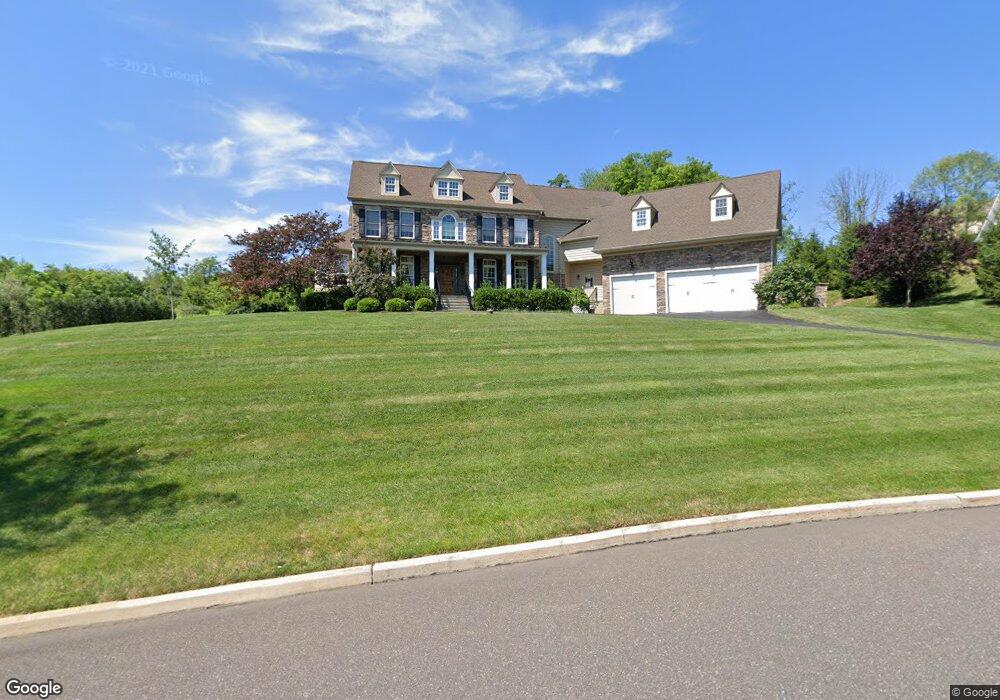
6022 Patrick Ln Unit 40 Coopersburg, PA 18036
Upper Saucon Township NeighborhoodEstimated Value: $934,000 - $1,234,000
4
Beds
4
Baths
4,676
Sq Ft
$227/Sq Ft
Est. Value
About This Home
This home is located at 6022 Patrick Ln Unit 40, Coopersburg, PA 18036 and is currently estimated at $1,061,006, approximately $226 per square foot. 6022 Patrick Ln Unit 40 is a home located in Lehigh County with nearby schools including Southern Lehigh High School, Providence Hybrid Academy, and St. Michael the Archangel School.
Ownership History
Date
Name
Owned For
Owner Type
Purchase Details
Closed on
Oct 20, 2023
Sold by
Razze Dennis and Razze Lisa
Bought by
Magazzu Michael and Magazzu Kelly A
Current Estimated Value
Purchase Details
Closed on
Feb 1, 2010
Sold by
Gigliotti Lv Ii Lp
Bought by
Razze Dennis
Home Financials for this Owner
Home Financials are based on the most recent Mortgage that was taken out on this home.
Original Mortgage
$271,000
Interest Rate
5.05%
Mortgage Type
New Conventional
Create a Home Valuation Report for This Property
The Home Valuation Report is an in-depth analysis detailing your home's value as well as a comparison with similar homes in the area
Home Values in the Area
Average Home Value in this Area
Purchase History
| Date | Buyer | Sale Price | Title Company |
|---|---|---|---|
| Magazzu Michael | $900,000 | None Listed On Document | |
| Razze Dennis | $625,000 | -- |
Source: Public Records
Mortgage History
| Date | Status | Borrower | Loan Amount |
|---|---|---|---|
| Previous Owner | Razze Dennis | $271,000 |
Source: Public Records
Tax History Compared to Growth
Tax History
| Year | Tax Paid | Tax Assessment Tax Assessment Total Assessment is a certain percentage of the fair market value that is determined by local assessors to be the total taxable value of land and additions on the property. | Land | Improvement |
|---|---|---|---|---|
| 2025 | $13,109 | $577,900 | $79,200 | $498,700 |
| 2024 | $13,109 | $577,900 | $79,200 | $498,700 |
| 2023 | $12,950 | $577,900 | $79,200 | $498,700 |
| 2022 | $12,759 | $577,900 | $498,700 | $79,200 |
| 2021 | $12,474 | $577,900 | $79,200 | $498,700 |
| 2020 | $12,234 | $577,900 | $79,200 | $498,700 |
| 2019 | $12,037 | $577,900 | $79,200 | $498,700 |
| 2018 | $12,037 | $577,900 | $79,200 | $498,700 |
| 2017 | $11,922 | $577,900 | $79,200 | $498,700 |
| 2016 | -- | $577,900 | $79,200 | $498,700 |
| 2015 | -- | $577,900 | $79,200 | $498,700 |
| 2014 | -- | $577,900 | $79,200 | $498,700 |
Source: Public Records
Map
Nearby Homes
- 7338 Grant Rd
- 6551 Blue Church Rd S
- 0 Trolley Bridge Rd
- 6667 Blue Church Rd S
- 7512 S Main St
- 173 Ashford Dr
- 7555 Clayton Ave
- 167 Ashford Dr
- 0 Glen Rd Unit 755784
- 5895 Glen Rd
- 119 Ashford Dr
- Helena Plan at Ashford Preserve
- Meadowood Plan at Ashford Preserve
- Anderson Plan at Ashford Preserve
- The Bennett Plan at Ashford Preserve
- Wells Plan at Ashford Preserve
- 818 W Station Ave
- 112 Young Ave
- 1008 W State St
- 5840 Blue Church Rd
- 6022 Patrick Ln
- 6026 Patrick Ln
- 6018 Patrick Ln
- 6018 Patrick Ln Unit LOT 4
- 6018 Patrick Ln Unit LOT41
- 6010 Patrick Ln
- 6010 Patrick Ln Unit LOT 4
- 6010 Patrick Ln Unit LOT43
- 6080 Patrick Ln
- 6025 Patrick Ln
- 6014 Patrick Ln
- 6014 Patrick Ln Unit LOT 4
- 6014 Patrick Ln Unit LOT42
- 6005 Patrick Ln
- 6050 Patrick Ln
- 7265 Mary Dr Unit 26
- 7265 Mary Dr
- 6110 Patrick Ln
- 6110 Patrick Cir
- 6110 Patrick Ln Unit Lot 28