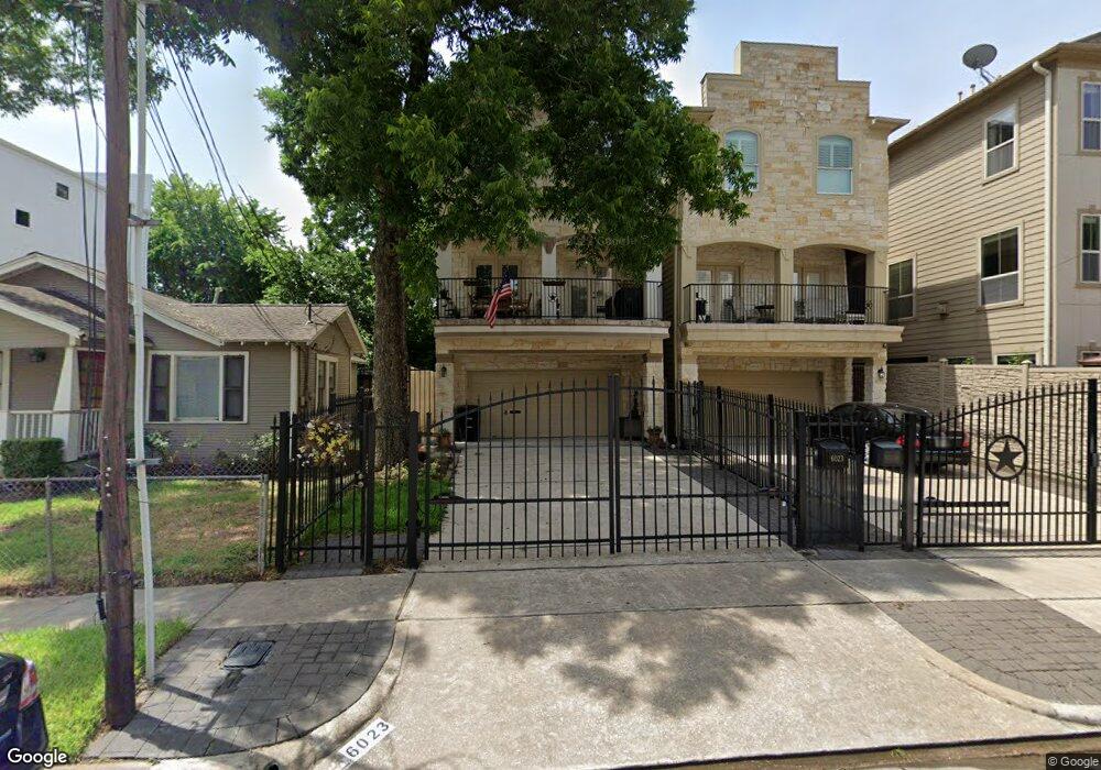
6023 Maxie St Unit B Houston, TX 77007
Washington Avenue Coalition NeighborhoodEstimated Value: $538,788 - $705,000
3
Beds
4
Baths
2,513
Sq Ft
$240/Sq Ft
Est. Value
About This Home
This home is located at 6023 Maxie St Unit B, Houston, TX 77007 and is currently estimated at $603,947, approximately $240 per square foot. 6023 Maxie St Unit B is a home located in Harris County with nearby schools including Memorial Elementary School, Hogg Middle, and Lamar High School.
Ownership History
Date
Name
Owned For
Owner Type
Purchase Details
Closed on
Apr 10, 2020
Sold by
Spray David A and Spray Christine
Bought by
Lane Sandra M and Reid David J
Current Estimated Value
Home Financials for this Owner
Home Financials are based on the most recent Mortgage that was taken out on this home.
Original Mortgage
$402,000
Outstanding Balance
$354,764
Interest Rate
3.2%
Mortgage Type
New Conventional
Estimated Equity
$249,183
Purchase Details
Closed on
Jul 22, 2005
Sold by
Stuckey Doyle and Sonderfan Paul W
Bought by
Spray David A and Spray Christine R
Home Financials for this Owner
Home Financials are based on the most recent Mortgage that was taken out on this home.
Original Mortgage
$265,350
Interest Rate
4.5%
Mortgage Type
Fannie Mae Freddie Mac
Create a Home Valuation Report for This Property
The Home Valuation Report is an in-depth analysis detailing your home's value as well as a comparison with similar homes in the area
Home Values in the Area
Average Home Value in this Area
Purchase History
| Date | Buyer | Sale Price | Title Company |
|---|---|---|---|
| Lane Sandra M | -- | None Available | |
| Spray David A | -- | -- |
Source: Public Records
Mortgage History
| Date | Status | Borrower | Loan Amount |
|---|---|---|---|
| Open | Lane Sandra M | $402,000 | |
| Previous Owner | Spray David A | $265,350 |
Source: Public Records
Tax History Compared to Growth
Tax History
| Year | Tax Paid | Tax Assessment Tax Assessment Total Assessment is a certain percentage of the fair market value that is determined by local assessors to be the total taxable value of land and additions on the property. | Land | Improvement |
|---|---|---|---|---|
| 2025 | $7,544 | $498,028 | $225,803 | $272,225 |
| 2024 | $7,544 | $501,707 | $225,803 | $275,904 |
| 2023 | $7,544 | $483,000 | $225,803 | $257,197 |
| 2022 | $9,468 | $430,000 | $225,803 | $204,197 |
| 2021 | $10,479 | $449,600 | $225,803 | $223,797 |
| 2020 | $10,665 | $440,409 | $225,803 | $214,606 |
| 2019 | $10,318 | $407,744 | $225,803 | $181,941 |
| 2018 | $7,448 | $380,911 | $159,390 | $221,521 |
| 2017 | $10,722 | $424,039 | $159,390 | $264,649 |
| 2016 | $11,176 | $442,000 | $159,390 | $282,610 |
| 2015 | $7,864 | $466,428 | $159,390 | $307,038 |
| 2014 | $7,864 | $439,296 | $159,390 | $279,906 |
Source: Public Records
Map
Nearby Homes
- 1429 Utah St
- 6018 Truro St
- 1501 Utah St
- 6034 Maxie St
- 6011 Maxie St
- 6018 Maxie St Unit B
- 6114 Truro St
- 6114 Maxie St Unit B
- 6009 Tyne St Unit A
- 1254 Utah St
- 6007 Tyne St Unit C
- 1425 Knox St
- 1308 Cohn St
- 6005 Clyde St
- 6124 Tyne St
- 1702 Utah St Unit B
- 1704 Utah St
- 6021 Hamman St
- 5914 Center St
- 6115 Hamman St