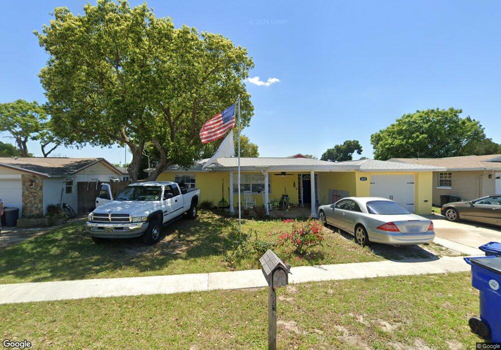
6026 9th Ave New Port Richey, FL 34653
Estimated Value: $193,073 - $285,000
3
Beds
2
Baths
1,460
Sq Ft
$166/Sq Ft
Est. Value
About This Home
This home is located at 6026 9th Ave, New Port Richey, FL 34653 and is currently estimated at $242,518, approximately $166 per square foot. 6026 9th Ave is a home located in Pasco County with nearby schools including Cotee River Elementary School, Gulf Middle School, and Gulf High School.
Ownership History
Date
Name
Owned For
Owner Type
Purchase Details
Closed on
Oct 31, 2003
Sold by
Clark Christopher F and Clark Tina M
Bought by
Ross Jehu H and Ross Jaymie N
Current Estimated Value
Home Financials for this Owner
Home Financials are based on the most recent Mortgage that was taken out on this home.
Original Mortgage
$91,800
Outstanding Balance
$42,310
Interest Rate
6.03%
Mortgage Type
VA
Estimated Equity
$200,208
Create a Home Valuation Report for This Property
The Home Valuation Report is an in-depth analysis detailing your home's value as well as a comparison with similar homes in the area
Home Values in the Area
Average Home Value in this Area
Purchase History
| Date | Buyer | Sale Price | Title Company |
|---|---|---|---|
| Ross Jehu H | $90,000 | Master Title Service Inc |
Source: Public Records
Mortgage History
| Date | Status | Borrower | Loan Amount |
|---|---|---|---|
| Open | Ross Jehu H | $91,800 |
Source: Public Records
Tax History Compared to Growth
Tax History
| Year | Tax Paid | Tax Assessment Tax Assessment Total Assessment is a certain percentage of the fair market value that is determined by local assessors to be the total taxable value of land and additions on the property. | Land | Improvement |
|---|---|---|---|---|
| 2025 | $2,700 | $53,360 | -- | -- |
| 2024 | $2,700 | $51,860 | -- | -- |
| 2023 | $2,682 | $50,350 | $0 | $0 |
| 2022 | $2,621 | $48,890 | $0 | $0 |
| 2021 | $495 | $47,470 | $20,145 | $27,325 |
| 2020 | $477 | $46,820 | $10,965 | $35,855 |
| 2019 | $456 | $45,770 | $0 | $0 |
| 2018 | $502 | $43,953 | $0 | $0 |
| 2017 | $493 | $43,953 | $0 | $0 |
| 2016 | $442 | $42,164 | $0 | $0 |
| 2015 | $443 | $41,871 | $0 | $0 |
| 2014 | $422 | $49,756 | $9,180 | $40,576 |
Source: Public Records
Map
Nearby Homes
- 6019 7th Ave
- 6026 12th Ave
- 5851 Lanate Ave
- 4832 Elmwood St
- 4833 Dogwood St
- 5753 10th Ave
- 4915 Daphne St
- 6307 Shane Ln
- 6309 Lodge Dr
- 5746 Embay Ave
- 4535 Uzzle Way
- 6338 Spring Flower Dr Unit 21
- 4853 Alcea St
- 5831 1st Ave
- 4548 Somerset Place
- 4614 Croton Dr
- 6410 Spring Flower Dr Unit 24
- 6410 Spring Flower Dr Unit 26
- 4923 Alcea St
- 6421 Remus Dr