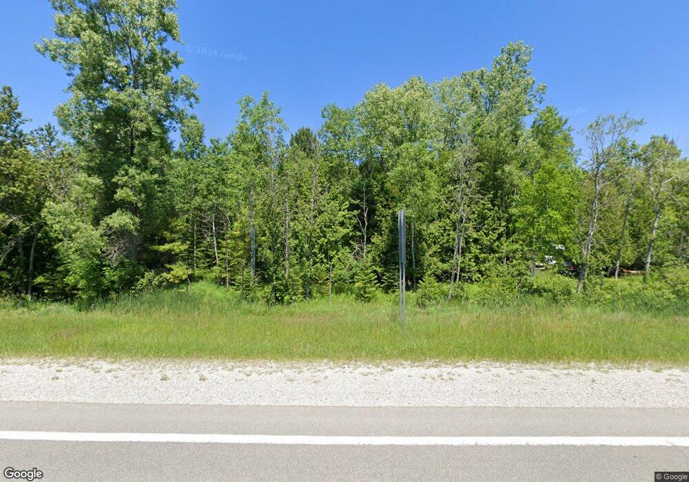
6026 M 55 Whittemore, MI 48770
Estimated Value: $208,000 - $249,000
--
Bed
--
Bath
--
Sq Ft
14.3
Acres
About This Home
This home is located at 6026 M 55, Whittemore, MI 48770 and is currently estimated at $224,748. 6026 M 55 is a home located in Iosco County with nearby schools including Whittemore-Prescott Elementary School, Whittemore-Prescott Junior/Senior High School, and Shady Grove School.
Ownership History
Date
Name
Owned For
Owner Type
Purchase Details
Closed on
Dec 21, 2007
Sold by
Mieske Dale
Bought by
Simmons Dennis
Current Estimated Value
Home Financials for this Owner
Home Financials are based on the most recent Mortgage that was taken out on this home.
Original Mortgage
$37,400
Outstanding Balance
$6,878
Interest Rate
6.27%
Mortgage Type
Future Advance Clause Open End Mortgage
Estimated Equity
$217,870
Create a Home Valuation Report for This Property
The Home Valuation Report is an in-depth analysis detailing your home's value as well as a comparison with similar homes in the area
Home Values in the Area
Average Home Value in this Area
Purchase History
| Date | Buyer | Sale Price | Title Company |
|---|---|---|---|
| Simmons Dennis | $44,000 | -- |
Source: Public Records
Mortgage History
| Date | Status | Borrower | Loan Amount |
|---|---|---|---|
| Open | Simmons Dennis | $37,400 |
Source: Public Records
Tax History Compared to Growth
Tax History
| Year | Tax Paid | Tax Assessment Tax Assessment Total Assessment is a certain percentage of the fair market value that is determined by local assessors to be the total taxable value of land and additions on the property. | Land | Improvement |
|---|---|---|---|---|
| 2025 | $1,807 | $103,100 | $103,100 | $0 |
| 2024 | $1,534 | $97,000 | $0 | $0 |
| 2023 | $707 | $80,400 | $80,400 | $0 |
| 2022 | $1,404 | $73,300 | $73,300 | $0 |
| 2021 | $1,322 | $76,100 | $76,100 | $0 |
| 2020 | $1,282 | $71,200 | $71,200 | $0 |
| 2019 | $1,258 | $63,000 | $63,000 | $0 |
| 2018 | $1,284 | $65,200 | $65,200 | $0 |
| 2017 | $1,194 | $62,400 | $62,400 | $0 |
| 2016 | $1,174 | $62,400 | $0 | $0 |
| 2015 | -- | $65,200 | $0 | $0 |
| 2014 | -- | $45,700 | $0 | $0 |
| 2013 | -- | $43,500 | $0 | $0 |
Source: Public Records
Map
Nearby Homes
- 5745 Carpenter Rd
- 600 N Britt Rd
- 10 S Imperial Dr
- 4901 Michigan 55
- 4861 Carpenter Rd
- 100 & 102 S Bullock St
- 1870 Michigan 65
- 316 S Bullock St
- 1831 Kitchen Rd
- 8109 M 55
- 3965 E Michigan 55
- 7207 Prescott Rd
- 0 Saginaw St. Saginaw St
- 6849 Leggett Rd
- 1295 N Sand Lake Rd
- 1313 N Maple St
- 1743 Kendall St
- 1594 Little Ave
- 3780 Hiawatha Trail
- 8720 Whittemore Rd
- 85 N Britt Rd
- 85 N Britt Rd
- 197 N Britt Rd
- 76 N Britt Rd
- 0 N Britt Rd
- 0 N Britt Rd Unit 72015060685
- 0 N Britt Rd Unit G20390850
- 0 N Britt Rd Unit 15060685
- 0 N Britt Rd Unit 2296704
- 0 N Britt Rd Unit 30033803
- 6068 M 55
- 5940 M 55
- 5940 Michigan 55
- 6100 M 55
- 5920 Michigan 55
- 6100 Michigan 55
- 6120 M 55
- 6186 M 55
- 6282 M 55
- 6186 M-55
