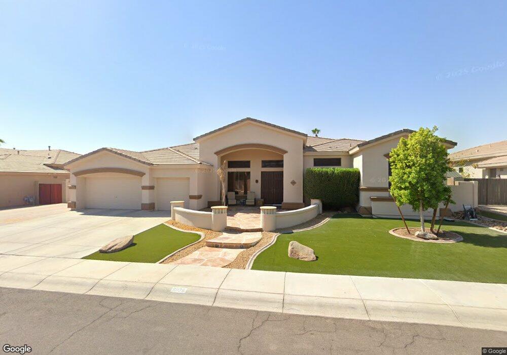
6026 N 132nd Ave Unit 1 Litchfield Park, AZ 85340
Estimated Value: $695,000 - $817,000
--
Bed
4
Baths
3,780
Sq Ft
$196/Sq Ft
Est. Value
About This Home
This home is located at 6026 N 132nd Ave Unit 1, Litchfield Park, AZ 85340 and is currently estimated at $741,841, approximately $196 per square foot. 6026 N 132nd Ave Unit 1 is a home located in Maricopa County with nearby schools including Dreaming Summit Elementary School, L. Thomas Heck Middle School, and Canyon View High School.
Ownership History
Date
Name
Owned For
Owner Type
Purchase Details
Closed on
Sep 30, 2024
Sold by
Hale Ronn and Hale Donneta Kay
Bought by
Life Legacies Trust and Life Legacies Ii Trust
Current Estimated Value
Purchase Details
Closed on
Nov 7, 2002
Sold by
U S Home Corp
Bought by
Hale Ii Ron and Hale Donetta K
Home Financials for this Owner
Home Financials are based on the most recent Mortgage that was taken out on this home.
Original Mortgage
$290,831
Interest Rate
5.95%
Mortgage Type
New Conventional
Create a Home Valuation Report for This Property
The Home Valuation Report is an in-depth analysis detailing your home's value as well as a comparison with similar homes in the area
Home Values in the Area
Average Home Value in this Area
Purchase History
| Date | Buyer | Sale Price | Title Company |
|---|---|---|---|
| Life Legacies Trust | -- | None Listed On Document | |
| Hale Ii Ron | $306,138 | North American Title |
Source: Public Records
Mortgage History
| Date | Status | Borrower | Loan Amount |
|---|---|---|---|
| Previous Owner | Hale Ii Ron | $290,831 |
Source: Public Records
Tax History Compared to Growth
Tax History
| Year | Tax Paid | Tax Assessment Tax Assessment Total Assessment is a certain percentage of the fair market value that is determined by local assessors to be the total taxable value of land and additions on the property. | Land | Improvement |
|---|---|---|---|---|
| 2025 | $3,303 | $38,004 | -- | -- |
| 2024 | $3,086 | $36,194 | -- | -- |
| 2023 | $3,086 | $51,030 | $10,200 | $40,830 |
| 2022 | $3,000 | $40,620 | $8,120 | $32,500 |
| 2021 | $3,354 | $39,210 | $7,840 | $31,370 |
| 2020 | $3,187 | $37,160 | $7,430 | $29,730 |
| 2019 | $3,136 | $34,050 | $6,810 | $27,240 |
| 2018 | $3,097 | $34,050 | $6,810 | $27,240 |
| 2017 | $2,897 | $31,860 | $6,370 | $25,490 |
| 2016 | $2,790 | $30,560 | $6,110 | $24,450 |
| 2015 | $2,561 | $29,550 | $5,910 | $23,640 |
Source: Public Records
Map
Nearby Homes
- 6027 N 132nd Dr
- 6003 N 132nd Dr Unit 1
- 13224 W Palo Verde Dr Unit 3A
- 5915 N 131st Dr
- 5917 N 133rd Ave
- 13313 W Palo Verde Dr
- 13130 W Jacobson Dr
- 13420 W Berridge Ln Unit 1
- 13323 W Rancho Dr
- 13418 W Keim Dr
- 13324 W Annika Dr
- 13436 W Peck Dr
- 6062 N Florence Ave Unit 1A
- 13118 W San Miguel Ave
- 13304 W Stella Ln
- 13306 W Maryland Ave
- 13131 W Sierra Vista Dr
- 5522 N 132nd Dr
- 5827 N 129th Ave
- 6017 N Almanza Ln
- 6020 N 132nd Ave Unit 1
- 6112 N 132nd Ave
- 6033 N 132nd Dr Unit 1
- 6021 N 132nd Dr Unit 1
- 13124 W Rovey Ct
- 6014 N 132nd Ave
- 6118 N 132nd Ave Unit 1
- 6015 N 132nd Dr Unit 1
- 13123 W Berridge Ct
- 13204 W Rhine Ln
- 13209 W Rhine Ln Unit 1
- 6009 N 132nd Dr Unit 1
- 13118 W Rovey Ct
- 6008 N 132nd Ave Unit 1
- 6122 N 132nd Ave Unit 1
- 13206 W Rovey Ave Unit 1
- 6123 N 132nd Dr Unit 1
- 13203 W Berridge Ln Unit 1
- 13117 W Berridge Ct
- 13125 W Rovey Ct