60261 Eastside Ln John Day, OR 97845
Estimated Value: $348,139 - $542,000
--
Bed
--
Bath
2,080
Sq Ft
$203/Sq Ft
Est. Value
About This Home
This home is located at 60261 Eastside Ln, John Day, OR 97845 and is currently estimated at $421,785, approximately $202 per square foot. 60261 Eastside Ln is a home located in Grant County with nearby schools including Grant Union Junior/Senior High School.
Ownership History
Date
Name
Owned For
Owner Type
Purchase Details
Closed on
Nov 17, 2020
Sold by
Phillips Robert C
Bought by
Jenkins Chantel E and Thompson Carol E
Current Estimated Value
Home Financials for this Owner
Home Financials are based on the most recent Mortgage that was taken out on this home.
Original Mortgage
$200,000
Outstanding Balance
$177,972
Interest Rate
2.8%
Mortgage Type
New Conventional
Estimated Equity
$243,813
Create a Home Valuation Report for This Property
The Home Valuation Report is an in-depth analysis detailing your home's value as well as a comparison with similar homes in the area
Home Values in the Area
Average Home Value in this Area
Purchase History
| Date | Buyer | Sale Price | Title Company |
|---|---|---|---|
| Jenkins Chantel E | $250,000 | None Available |
Source: Public Records
Mortgage History
| Date | Status | Borrower | Loan Amount |
|---|---|---|---|
| Open | Jenkins Chantel E | $200,000 |
Source: Public Records
Tax History Compared to Growth
Tax History
| Year | Tax Paid | Tax Assessment Tax Assessment Total Assessment is a certain percentage of the fair market value that is determined by local assessors to be the total taxable value of land and additions on the property. | Land | Improvement |
|---|---|---|---|---|
| 2024 | $3,791 | $300,451 | $97,634 | $202,817 |
| 2023 | $3,717 | $291,700 | $94,787 | $196,913 |
| 2022 | $3,612 | $283,204 | $73,606 | $209,598 |
| 2021 | $3,498 | $274,956 | $71,461 | $203,495 |
| 2020 | $14,115 | $266,948 | $69,377 | $197,571 |
| 2019 | $3,595 | $259,173 | $67,357 | $191,816 |
| 2018 | $8,215 | $251,625 | $52,582 | $199,043 |
| 2017 | $3,344 | $244,220 | $63,470 | $180,750 |
| 2016 | $3,224 | $234,830 | $61,030 | $173,800 |
| 2015 | $3,225 | $234,850 | $50,300 | $184,550 |
| 2014 | $3,225 | $234,850 | $50,300 | $184,550 |
| 2013 | $3,085 | $234,850 | $50,300 | $184,550 |
Source: Public Records
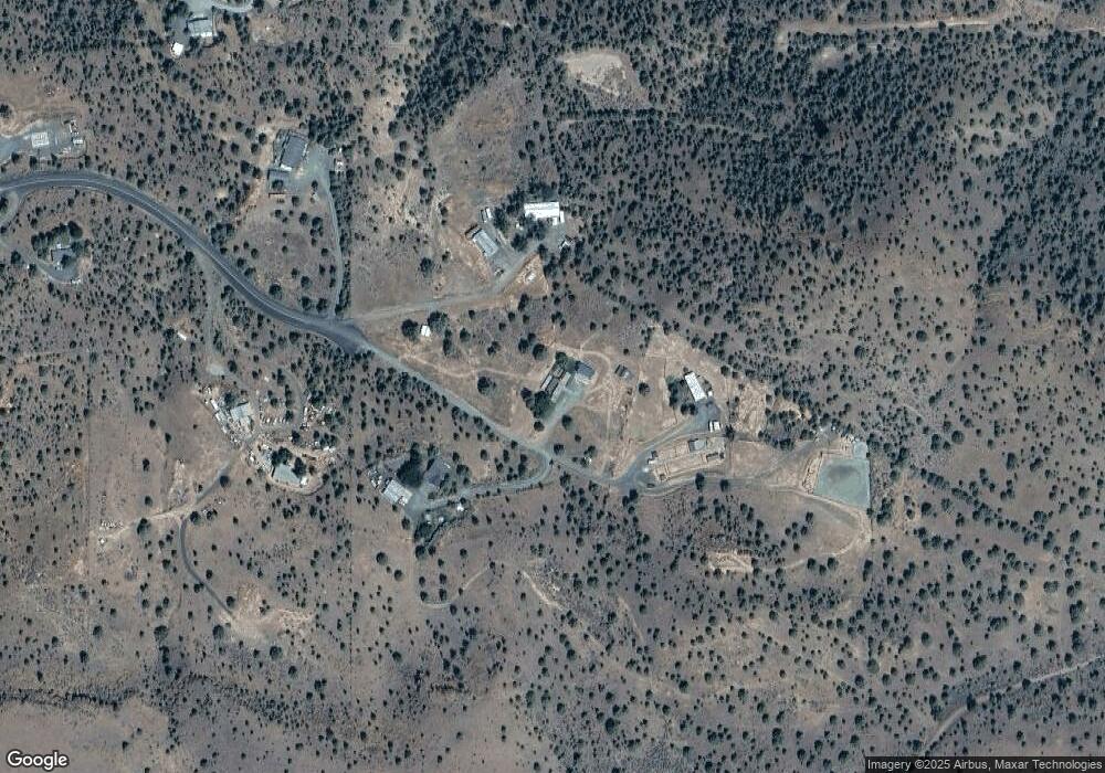
Map
Nearby Homes
- 0 County Rd 74b Unit 11554207
- 0 E Side Ln Unit 201102803
- 0 Industrial Park Rd Unit 24388826
- 0 Industrial Park Rd Unit 24404920
- 0 Industrial Park Rd Unit 220186207
- 0 Industrial Park Rd Unit 220186217
- 0 Industrial Park Rd Unit 220186224
- 0 SW 4th Ave Unit 24562517
- 314 NW 3rd Ave
- 128 SW Canton St
- 227 NW 2nd Ave
- 0 W Seventh St
- 212 NW Bridge St
- 111 Valley View Dr
- 213 NW 4th Ave
- 212 NW 5th Ave
- 318 SW Brent Dr
- 410 NW Bridge St
- 0 Industrial Park Unit 24683015
- 173 N Canyon Blvd
- 60266 Eastside Ln
- 60160 Eastside Ln
- 60940 Highway 26
- 27755 Terrance Rd
- 0 N Industrial Ln Unit 21563504
- 0 N Industrial Ln Unit 18075228
- 0 N Industrial Ln Unit 201803685
- 741 W Main St
- 583 Industrial Park Rd
- 0 4th Ave Indus Park
- 660 W Main St
- 60792 Highway 26
- 0 County Rd 74b Unit 2611910
- 0 County Rd 74b Unit 2712056
- 0 County Rd 74b Unit 2712059
- 0 County Rd 74b Unit 2712058
- 0 County Rd 74b Unit 2712057
- 0 County Rd 74b Unit 2712054
- 0 County Rd 74b Unit 2712053