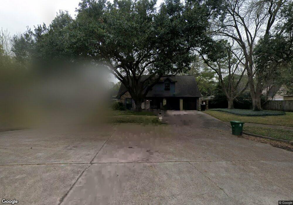
6027 Lawn Ln Houston, TX 77088
Greater Inwood NeighborhoodEstimated Value: $235,792 - $270,000
4
Beds
2
Baths
2,047
Sq Ft
$122/Sq Ft
Est. Value
About This Home
This home is located at 6027 Lawn Ln, Houston, TX 77088 and is currently estimated at $249,448, approximately $121 per square foot. 6027 Lawn Ln is a home located in Harris County with nearby schools including Edward a Vines EC/Pre-K/K School, J. Ruth Smith Elementary, and Hoffman Middle School.
Ownership History
Date
Name
Owned For
Owner Type
Purchase Details
Closed on
Apr 18, 2013
Sold by
Mitschke Kenneth Eugene and Mitschke Pamela R
Bought by
Swonke Eric G
Current Estimated Value
Home Financials for this Owner
Home Financials are based on the most recent Mortgage that was taken out on this home.
Original Mortgage
$116,719
Outstanding Balance
$82,686
Interest Rate
3.55%
Mortgage Type
FHA
Estimated Equity
$166,762
Create a Home Valuation Report for This Property
The Home Valuation Report is an in-depth analysis detailing your home's value as well as a comparison with similar homes in the area
Home Values in the Area
Average Home Value in this Area
Purchase History
| Date | Buyer | Sale Price | Title Company |
|---|---|---|---|
| Swonke Eric G | -- | First American Title |
Source: Public Records
Mortgage History
| Date | Status | Borrower | Loan Amount |
|---|---|---|---|
| Open | Swonke Eric G | $116,719 |
Source: Public Records
Tax History Compared to Growth
Tax History
| Year | Tax Paid | Tax Assessment Tax Assessment Total Assessment is a certain percentage of the fair market value that is determined by local assessors to be the total taxable value of land and additions on the property. | Land | Improvement |
|---|---|---|---|---|
| 2025 | $3,685 | $251,126 | $41,686 | $209,440 |
| 2024 | $3,685 | $241,001 | $41,686 | $199,315 |
| 2023 | $3,685 | $211,342 | $41,686 | $169,656 |
| 2022 | $4,596 | $211,342 | $41,686 | $169,656 |
| 2021 | $4,376 | $174,200 | $41,686 | $132,514 |
| 2020 | $4,385 | $166,114 | $41,686 | $124,428 |
| 2019 | $4,198 | $151,693 | $22,233 | $129,460 |
| 2018 | $1,753 | $147,064 | $22,233 | $124,831 |
| 2017 | $3,767 | $147,064 | $22,233 | $124,831 |
| 2016 | $3,424 | $129,089 | $22,233 | $106,856 |
| 2015 | $2,732 | $129,089 | $22,233 | $106,856 |
| 2014 | $2,732 | $121,718 | $22,233 | $99,485 |
Source: Public Records
Map
Nearby Homes
- 5914 Lawn Ln
- 5906 Lawn Ln
- 7727 Green Lawn Dr
- 7146 Bayou Forest Dr
- 7750 Green Lawn Dr
- 7014 Bent Branch Dr
- 7402 Alabonson Rd Unit 506
- 7402 Alabonson Rd Unit 309
- 7402 Alabonson Rd Unit 510
- 7402 Alabonson Rd Unit 108
- 6311 Fairwood Dr
- 7728 Challie Ln
- 7840 Bateman Ln Unit 7840
- 6918 Bent Branch Dr
- 7736 Challie Ln
- 5907 Darkwood Dr
- 7219 Ridge Oak Dr
- 7218 Jadewood Dr Unit 770
- 7868 Green Lawn Dr Unit 7868
- 7526 Antoine Dr
- 6023 Lawn Ln
- 7518 Green Lawn Dr
- 7514 Green Lawn Dr
- 7522 Green Lawn Dr
- 6022 Green Terrace Ln
- 6019 Lawn Ln
- 7602 Green Lawn Dr
- 7510 Green Lawn Dr
- 6018 Green Terrace Ln
- 6026 Lawn Ln
- 6022 Lawn Ln
- 6015 Lawn Ln
- 7606 Green Lawn Dr
- 6018 Lawn Ln
- 6014 Green Terrace Ln
- 6011 Lawn Ln
- 6014 Lawn Ln
- 7610 Green Lawn Dr
- 6023 Green Terrace Ln
- 7519 Green Lawn Dr