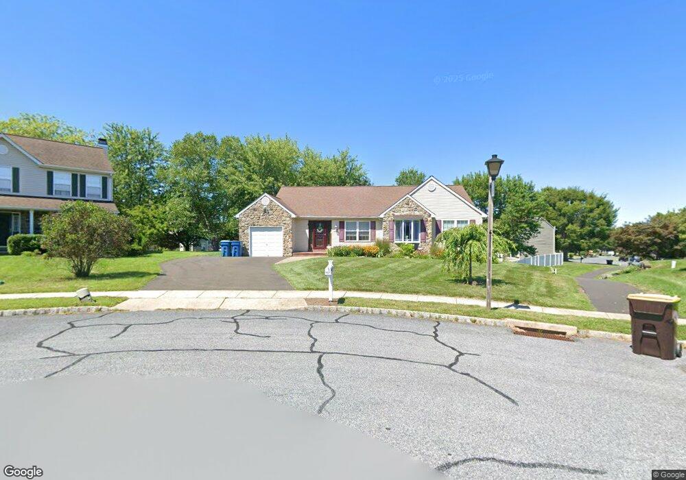
6027 Split Log Dr Pipersville, PA 18947
Plumstead NeighborhoodEstimated Value: $494,000 - $556,000
3
Beds
3
Baths
1,360
Sq Ft
$389/Sq Ft
Est. Value
About This Home
This home is located at 6027 Split Log Dr, Pipersville, PA 18947 and is currently estimated at $528,462, approximately $388 per square foot. 6027 Split Log Dr is a home located in Bucks County with nearby schools including Groveland Elementary School, Tohickon Middle School, and Central Bucks High School-West.
Ownership History
Date
Name
Owned For
Owner Type
Purchase Details
Closed on
Jun 10, 2022
Sold by
Franklin Bullock
Bought by
Bullock Kathleen
Current Estimated Value
Purchase Details
Closed on
Nov 26, 1996
Sold by
Cabin Run Corp
Bought by
Bullock Frank
Home Financials for this Owner
Home Financials are based on the most recent Mortgage that was taken out on this home.
Original Mortgage
$100,000
Interest Rate
7.31%
Create a Home Valuation Report for This Property
The Home Valuation Report is an in-depth analysis detailing your home's value as well as a comparison with similar homes in the area
Home Values in the Area
Average Home Value in this Area
Purchase History
| Date | Buyer | Sale Price | Title Company |
|---|---|---|---|
| Bullock Kathleen | -- | Metka Law Llc | |
| Bullock Frank | $159,990 | -- |
Source: Public Records
Mortgage History
| Date | Status | Borrower | Loan Amount |
|---|---|---|---|
| Previous Owner | Bullock Frank | $100,000 |
Source: Public Records
Tax History
| Year | Tax Paid | Tax Assessment Tax Assessment Total Assessment is a certain percentage of the fair market value that is determined by local assessors to be the total taxable value of land and additions on the property. | Land | Improvement |
|---|---|---|---|---|
| 2025 | $5,567 | $32,040 | $5,520 | $26,520 |
| 2024 | $5,567 | $32,040 | $5,520 | $26,520 |
| 2023 | $5,390 | $32,040 | $5,520 | $26,520 |
| 2022 | $5,330 | $32,040 | $5,520 | $26,520 |
| 2021 | $5,270 | $32,040 | $5,520 | $26,520 |
| 2020 | $5,270 | $32,040 | $5,520 | $26,520 |
| 2019 | $5,238 | $32,040 | $5,520 | $26,520 |
| 2018 | $5,238 | $32,040 | $5,520 | $26,520 |
| 2017 | $5,166 | $32,040 | $5,520 | $26,520 |
| 2016 | $5,166 | $32,040 | $5,520 | $26,520 |
| 2015 | -- | $32,040 | $5,520 | $26,520 |
| 2014 | -- | $32,040 | $5,520 | $26,520 |
Source: Public Records
Map
Nearby Homes
- 5121 Franklin Cir
- 5403 Stump Rd
- 563 Deep Run Rd
- 1222 Hockley Dr
- LOT 1 Curly Hill Rd
- LOT 2 Curly Hill Rd
- 1214 Hockley Dr
- 0 Old Durham Rd
- Lot 10 Schadle Rd
- Lot 14 Schadle Rd
- Lot 9 Schadle Rd
- lot 11 Schadle Rd
- 316 Schadle Rd
- 358 E Armstrong Dr
- 0 Old Easton Rd Unit PABU2095398
- 6398 Durham Rd
- 17 Ruhl Dr
- 65 Williams Dr
- 126 Olde Pilgrim Rd
- 225 Barnhill Rd
- 6076 High Meadow Dr
- 6028 Split Log Dr
- 6025 Split Log Dr
- 4956 Cabin Run Rd
- 4954 Cabin Run Rd
- 6075 High Meadow Dr
- 6078 High Meadow Dr
- 6023 Split Log Dr
- 4958 Cabin Run Rd
- 6026 Split Log Dr
- 4952 Cabin Run Rd
- 4960 Cabin Run Rd
- 4821 Woodspring Dr
- 6024 Split Log Dr
- 6021 Split Log Dr
- 4950 Cabin Run Rd
- 6080 High Meadow Dr
- 6020 Split Log Dr
- 4962 Cabin Run Rd
- 6077 High Meadow Dr
Your Personal Tour Guide
Ask me questions while you tour the home.