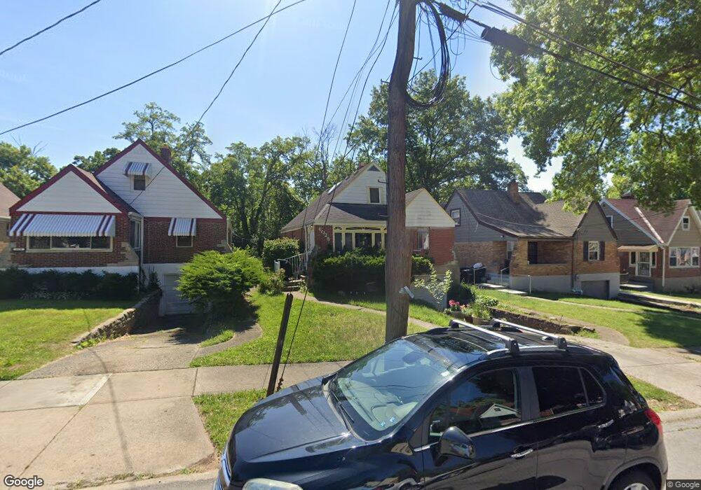
6028 Connecticut Ct Cincinnati, OH 45224
College Hill NeighborhoodEstimated Value: $206,325 - $279,000
4
Beds
2
Baths
1,630
Sq Ft
$146/Sq Ft
Est. Value
About This Home
This home is located at 6028 Connecticut Ct, Cincinnati, OH 45224 and is currently estimated at $238,581, approximately $146 per square foot. 6028 Connecticut Ct is a home located in Hamilton County with nearby schools including Mt. Airy Elementary School, Western Hills High School, and Gilbert A. Dater High School.
Ownership History
Date
Name
Owned For
Owner Type
Purchase Details
Closed on
Oct 2, 2009
Sold by
Wilson Jacquelyne E and Wilson Jacqueline E
Bought by
Troup Kathleen
Current Estimated Value
Home Financials for this Owner
Home Financials are based on the most recent Mortgage that was taken out on this home.
Original Mortgage
$106,532
Outstanding Balance
$68,819
Interest Rate
5.19%
Mortgage Type
FHA
Estimated Equity
$169,762
Create a Home Valuation Report for This Property
The Home Valuation Report is an in-depth analysis detailing your home's value as well as a comparison with similar homes in the area
Home Values in the Area
Average Home Value in this Area
Purchase History
| Date | Buyer | Sale Price | Title Company |
|---|---|---|---|
| Troup Kathleen | $108,500 | None Available |
Source: Public Records
Mortgage History
| Date | Status | Borrower | Loan Amount |
|---|---|---|---|
| Open | Troup Kathleen | $106,532 |
Source: Public Records
Tax History
| Year | Tax Paid | Tax Assessment Tax Assessment Total Assessment is a certain percentage of the fair market value that is determined by local assessors to be the total taxable value of land and additions on the property. | Land | Improvement |
|---|---|---|---|---|
| 2025 | $3,085 | $50,001 | $8,309 | $41,692 |
| 2023 | $3,059 | $50,001 | $8,309 | $41,692 |
| 2022 | $1,888 | $27,605 | $6,766 | $20,839 |
| 2021 | $1,815 | $27,605 | $6,766 | $20,839 |
| 2020 | $1,868 | $27,605 | $6,766 | $20,839 |
| 2019 | $1,791 | $24,217 | $5,936 | $18,281 |
| 2018 | $1,794 | $24,217 | $5,936 | $18,281 |
| 2017 | $1,704 | $24,217 | $5,936 | $18,281 |
| 2016 | $2,624 | $36,834 | $6,335 | $30,499 |
| 2015 | $2,366 | $36,834 | $6,335 | $30,499 |
| 2014 | $2,383 | $36,834 | $6,335 | $30,499 |
| 2013 | $2,498 | $37,975 | $6,531 | $31,444 |
Source: Public Records
Map
Nearby Homes
- 1963 W North Bend Rd
- 2008 Parkhurst Ct
- 2235 W North Bend Rd
- 2011 Parkhurst Ct
- 1831 W North Bend Rd
- 2048 4th Ave
- 6225 Aspen Ave
- 6292 Simpson Ave
- 2125 Mckinley Ave
- 2171 Lincoln Ave
- 5751 Belmont Ave
- 6335 Savannah Ave
- 6227 Station Court Dr
- 6229 Station Court Dr
- 6233 Station Court Dr
- Base Design Plan at Station Court - City Homes
- 5723 Nahant Ave
- 5545 Meryton Place
- 6429 Aspen Way
- 2342 Banning Rd
- 6026 Connecticut Ct
- 6030 Connecticut Ct
- 6024 Connecticut Ct
- 6032 Connecticut Ct
- 6022 Connecticut Ct
- 2004 Connecticut Ave
- 7002 Locker Ct
- 1995 Jesse Ln
- 6020 Connecticut Ct
- 1993 Jesse Ln
- 1982 Connecticut Ave
- 6029 Connecticut Ct
- 6031 Connecticut Ct
- 1989 Jesse Ln
- 6027 Connecticut Ct
- 6025 Connecticut Ct
- 6023 Connecticut Ct
- 7001 Locker Ct
- 1994 Jesse Ln Unit 18
- 1994 Jesse Ln