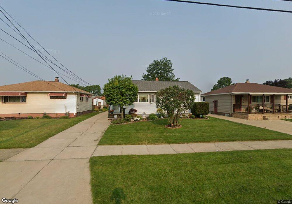
6028 Michael Dr Brookpark, OH 44142
Estimated Value: $198,197 - $227,000
2
Beds
1
Bath
1,192
Sq Ft
$181/Sq Ft
Est. Value
About This Home
This home is located at 6028 Michael Dr, Brookpark, OH 44142 and is currently estimated at $215,299, approximately $180 per square foot. 6028 Michael Dr is a home located in Cuyahoga County with nearby schools including Berea-Midpark Middle School, Berea-Midpark High School, and Huber Heights Preparatory Academy Parma Academy.
Ownership History
Date
Name
Owned For
Owner Type
Purchase Details
Closed on
Dec 16, 2008
Sold by
Wolanin Joan A and Wolanin Ralph F
Bought by
Wolanin Joan A and Wolanin Ralph F
Current Estimated Value
Home Financials for this Owner
Home Financials are based on the most recent Mortgage that was taken out on this home.
Original Mortgage
$96,600
Interest Rate
5.87%
Mortgage Type
New Conventional
Purchase Details
Closed on
Jan 1, 1975
Bought by
Kaletta Thomas D and Kaletta Joan A
Create a Home Valuation Report for This Property
The Home Valuation Report is an in-depth analysis detailing your home's value as well as a comparison with similar homes in the area
Home Values in the Area
Average Home Value in this Area
Purchase History
| Date | Buyer | Sale Price | Title Company |
|---|---|---|---|
| Wolanin Joan A | -- | Mortgage Information Service | |
| Kaletta Thomas D | -- | -- |
Source: Public Records
Mortgage History
| Date | Status | Borrower | Loan Amount |
|---|---|---|---|
| Previous Owner | Wolanin Joan A | $96,600 |
Source: Public Records
Tax History
| Year | Tax Paid | Tax Assessment Tax Assessment Total Assessment is a certain percentage of the fair market value that is determined by local assessors to be the total taxable value of land and additions on the property. | Land | Improvement |
|---|---|---|---|---|
| 2024 | $2,565 | $60,655 | $12,215 | $48,440 |
| 2023 | $2,245 | $46,030 | $9,350 | $36,680 |
| 2022 | $2,255 | $46,030 | $9,350 | $36,680 |
| 2021 | $2,242 | $46,030 | $9,350 | $36,680 |
| 2020 | $1,898 | $36,540 | $7,420 | $29,120 |
| 2019 | $1,842 | $104,400 | $21,200 | $83,200 |
| 2018 | $1,695 | $36,540 | $7,420 | $29,120 |
| 2017 | $1,686 | $32,350 | $6,970 | $25,380 |
| 2016 | $1,672 | $32,350 | $6,970 | $25,380 |
| 2015 | $1,570 | $32,350 | $6,970 | $25,380 |
| 2014 | $1,570 | $32,350 | $6,970 | $25,380 |
Source: Public Records
Map
Nearby Homes
- 6014 Westbrook Dr
- 6103 Westbrook Dr
- 6095 Stark Dr
- 14761 Larkfield Dr
- 5889 Westbrook Dr
- 14801 Larkfield Dr
- 14024 Donald Dr
- 5727 Gateway Ln Unit 1203
- 5757 Defiance Ave
- 13670 Middlebrook Blvd
- 14396 Park Dr
- 15532 Rademaker Dr
- 15424 Holland Rd
- 13602 Holland Rd
- 16117 Hocking Blvd
- 6330 Sandfield Dr
- 16159 Bowfin Blvd
- 14398 Sheldon Rd
- 6330 Ledgebrook Dr
- 6386 Sandfield Dr
- 6022 Michael Dr
- 6034 Michael Dr
- 6016 Michael Dr
- 6040 Michael Dr
- 6046 Michael Dr
- 6029 Morrow Dr
- 6023 Morrow Dr
- 6035 Morrow Dr
- 6017 Morrow Dr
- 14491 Fayette Blvd
- 6041 Morrow Dr
- 14509 Fayette Blvd
- 14473 Fayette Blvd
- 6052 Michael Dr
- 14527 Fayette Blvd
- 6029 Michael Dr
- 6023 Michael Dr
- 6035 Michael Dr
- 6047 Morrow Dr
- 6017 Michael Dr
Your Personal Tour Guide
Ask me questions while you tour the home.