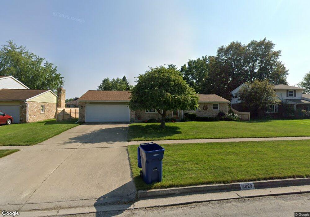
6029 Thistle Dr Saginaw, MI 48638
Estimated Value: $194,000 - $231,000
3
Beds
2
Baths
1,196
Sq Ft
$178/Sq Ft
Est. Value
About This Home
This home is located at 6029 Thistle Dr, Saginaw, MI 48638 and is currently estimated at $212,742, approximately $177 per square foot. 6029 Thistle Dr is a home located in Saginaw County with nearby schools including Arrowwood Elementary School, Westdale Elementary School, and White Pine Middle School.
Ownership History
Date
Name
Owned For
Owner Type
Purchase Details
Closed on
Sep 24, 2012
Sold by
Douglass Christopher David and Douglass Hannah
Bought by
Douglass Christopher David and Douglass Hannah
Current Estimated Value
Purchase Details
Closed on
Mar 20, 2009
Sold by
Gorte Kenneth E and Gorte Phyllis S
Bought by
Douglass Christopher David
Home Financials for this Owner
Home Financials are based on the most recent Mortgage that was taken out on this home.
Original Mortgage
$98,100
Interest Rate
5.22%
Mortgage Type
Purchase Money Mortgage
Create a Home Valuation Report for This Property
The Home Valuation Report is an in-depth analysis detailing your home's value as well as a comparison with similar homes in the area
Home Values in the Area
Average Home Value in this Area
Purchase History
| Date | Buyer | Sale Price | Title Company |
|---|---|---|---|
| Douglass Christopher David | -- | First American Title Insuran | |
| Douglass Christopher David | $109,000 | -- |
Source: Public Records
Mortgage History
| Date | Status | Borrower | Loan Amount |
|---|---|---|---|
| Previous Owner | Douglass Christopher David | $98,100 |
Source: Public Records
Tax History Compared to Growth
Tax History
| Year | Tax Paid | Tax Assessment Tax Assessment Total Assessment is a certain percentage of the fair market value that is determined by local assessors to be the total taxable value of land and additions on the property. | Land | Improvement |
|---|---|---|---|---|
| 2025 | $2,662 | $94,800 | $0 | $0 |
| 2024 | $1,352 | $82,400 | $0 | $0 |
| 2023 | $1,286 | $77,800 | $0 | $0 |
| 2022 | $2,301 | $68,000 | $0 | $0 |
| 2021 | $2,128 | $60,100 | $0 | $0 |
| 2020 | $2,075 | $55,700 | $0 | $0 |
| 2019 | $1,986 | $55,100 | $8,300 | $46,800 |
| 2018 | $954 | $55,100 | $0 | $0 |
| 2017 | $1,759 | $54,300 | $0 | $0 |
| 2016 | $1,736 | $53,900 | $0 | $0 |
| 2014 | $1,763 | $56,300 | $0 | $47,500 |
| 2013 | -- | $53,600 | $0 | $0 |
Source: Public Records
Map
Nearby Homes
- 73 Foxwood Dr
- 75 Foxwood Dr
- 74 Foxwood Dr
- 76 Foxwood Dr
- 58 Deer Trail
- 79 Deer Trail
- 80 Deer Trail
- 1439 Midland Rd
- 70 Bunny Trail
- 5800 Dunrovin Dr
- 68 Bunny Trail
- 71 Bunny Trail
- 72 Bunny Trail
- 67 Bunny Trail
- 69 Bunny Trail
- 1900 Bunny Trail
- 62 Bunny Trail
- 1607 Cranbrook Dr
- 63 Bunny Trail
- 1839 Kingston Dr
- 6015 Thistle Dr
- 6047 Thistle Dr
- 6061 Thistle Dr
- 6028 Thistle Dr
- 6014 Thistle Dr
- 6022 Dewhirst Dr
- 6040 Dewhirst Dr
- 6006 Dewhirst Dr
- 6060 Thistle Dr
- 6075 Thistle Dr
- 6060 Dewhirst Dr
- 1450 Lawndale Rd
- 6076 Thistle Dr
- 6078 Dewhirst Dr
- 6091 Thistle Dr
- 5982 Thistle Dr
- 6015 Amanda Dr
- 5969 Thistle Dr
- 6043 Amanda Dr
- 6031 Amanda Dr