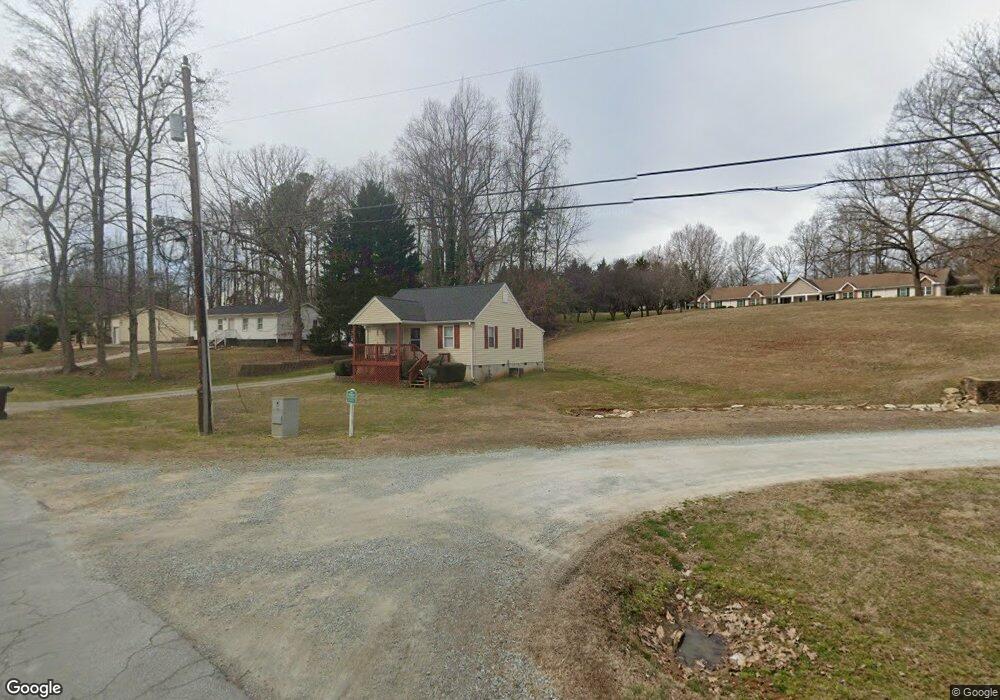
603 Broad Rd Roxboro, NC 27573
Estimated Value: $104,247 - $160,000
3
Beds
2
Baths
896
Sq Ft
$151/Sq Ft
Est. Value
About This Home
This home is located at 603 Broad Rd, Roxboro, NC 27573 and is currently estimated at $135,082, approximately $150 per square foot. 603 Broad Rd is a home with nearby schools including Person High School, Roxboro Community School, and Roxboro Christian Academy.
Ownership History
Date
Name
Owned For
Owner Type
Purchase Details
Closed on
Jul 27, 2022
Sold by
Thomas Fox Earl and Thomas Becky
Bought by
Cap City Homes Llc
Current Estimated Value
Home Financials for this Owner
Home Financials are based on the most recent Mortgage that was taken out on this home.
Original Mortgage
$139,000
Outstanding Balance
$118,129
Interest Rate
4.92%
Mortgage Type
New Conventional
Estimated Equity
$16,953
Purchase Details
Closed on
Dec 4, 1997
Bought by
Person County Group Homes Inc
Create a Home Valuation Report for This Property
The Home Valuation Report is an in-depth analysis detailing your home's value as well as a comparison with similar homes in the area
Home Values in the Area
Average Home Value in this Area
Purchase History
| Date | Buyer | Sale Price | Title Company |
|---|---|---|---|
| Cap City Homes Llc | $85,000 | None Listed On Document | |
| Carlock Paige M | $28,000 | King Wells P | |
| Carlock Paige M | $28,000 | None Listed On Document | |
| Person County Group Homes Inc | -- | -- |
Source: Public Records
Mortgage History
| Date | Status | Borrower | Loan Amount |
|---|---|---|---|
| Open | Cap City Homes Llc | $139,000 |
Source: Public Records
Tax History Compared to Growth
Tax History
| Year | Tax Paid | Tax Assessment Tax Assessment Total Assessment is a certain percentage of the fair market value that is determined by local assessors to be the total taxable value of land and additions on the property. | Land | Improvement |
|---|---|---|---|---|
| 2025 | -- | $102,660 | $0 | $0 |
| 2024 | -- | $68,816 | $0 | $0 |
| 2023 | -- | $68,816 | $0 | $0 |
| 2022 | $0 | $68,816 | $0 | $0 |
| 2021 | $0 | $68,816 | $0 | $0 |
| 2020 | $1,961 | $60,211 | $0 | $0 |
| 2019 | $1,975 | $60,211 | $0 | $0 |
| 2018 | $1,785 | $60,211 | $0 | $0 |
| 2017 | $0 | $60,211 | $0 | $0 |
| 2016 | $2,292 | $60,211 | $0 | $0 |
| 2015 | -- | $60,211 | $0 | $0 |
| 2014 | -- | $60,211 | $0 | $0 |
Source: Public Records
Map
Nearby Homes
- 307 Broad St
- 60 Sloan Rd
- 318 Walker St
- 150 Summit St
- 0 Broad Rd Unit 10083340
- 307 W Gordon St
- 1249 Pointer St
- 0 N Main St Unit 10114094
- 240 Crestwood Dr
- 209 Reade Dr
- 205 Gentry St
- 1257 Ridge Rd
- 210 Apple Tree Ln
- 531 Booth St
- 74 Alleghany Dr
- 305 W Barden St
- 421 S Morgan St
- 474 Providence Rd
- 522 Providence Rd
- 382 Wimbledon Dr
- 513 Broad St
- 511 Broad St
- 607 Henry St
- 509 Broad St
- 310 Bumpass Ln
- 307 Bumpass Ln
- 623 Henry St
- 507 Broad St
- 304 Bumpass Ln
- 305 Bumpass Ln
- 604 Doug St Unit 610
- 612 Doug St Unit 618
- 503 Broad St
- 303 Bumpass Ln
- 66 Broad Rd
- 324 Burch Ave
- 401 Broad St
- 404 Mount Bethel Church Rd
- 215 Bumpass Ln Unit 219
- 401 Broad St