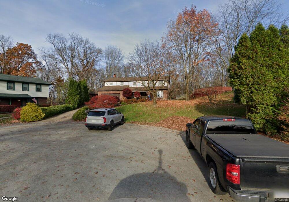
603 Burning Tree Ct McKeesport, PA 15135
Mount Vernon NeighborhoodEstimated Value: $353,000 - $489,553
5
Beds
5
Baths
5,388
Sq Ft
$78/Sq Ft
Est. Value
About This Home
This home is located at 603 Burning Tree Ct, McKeesport, PA 15135 and is currently estimated at $420,138, approximately $77 per square foot. 603 Burning Tree Ct is a home located in Allegheny County with nearby schools including Elizabeth Forward Senior High School and Young Scholars of Greater Allegheny Charter School.
Ownership History
Date
Name
Owned For
Owner Type
Purchase Details
Closed on
Jun 2, 2022
Sold by
Rowan Ashley M and Rowan Seth
Bought by
Rowan Ashley M and Rowan Seth
Current Estimated Value
Purchase Details
Closed on
Jan 19, 2022
Sold by
Cutright Eileen A Shutok and Cutright Kevin M
Bought by
Rankin Holly K and Rowan Ashley M
Purchase Details
Closed on
Feb 11, 2020
Sold by
Cordero Edgar C and Cordero Margaret B
Bought by
Rowan Ashley M and Taylor Williams A
Home Financials for this Owner
Home Financials are based on the most recent Mortgage that was taken out on this home.
Original Mortgage
$289,656
Interest Rate
3.37%
Mortgage Type
FHA
Purchase Details
Closed on
Nov 8, 1974
Bought by
Cordero Edgar C and Cordero Margaret B
Create a Home Valuation Report for This Property
The Home Valuation Report is an in-depth analysis detailing your home's value as well as a comparison with similar homes in the area
Home Values in the Area
Average Home Value in this Area
Purchase History
| Date | Buyer | Sale Price | Title Company |
|---|---|---|---|
| Rankin Holly K | $90,000 | -- | |
| Rowan Ashley M | $295,000 | Penn Bridge Land Abstract Co | |
| Cordero Edgar C | -- | -- | |
| Rowan Ashley M | $104,263 | -- |
Source: Public Records
Mortgage History
| Date | Status | Borrower | Loan Amount |
|---|---|---|---|
| Previous Owner | Rowan Ashley M | $289,656 |
Source: Public Records
Tax History Compared to Growth
Tax History
| Year | Tax Paid | Tax Assessment Tax Assessment Total Assessment is a certain percentage of the fair market value that is determined by local assessors to be the total taxable value of land and additions on the property. | Land | Improvement |
|---|---|---|---|---|
| 2025 | $9,029 | $254,300 | $35,700 | $218,600 |
| 2024 | $9,029 | $254,300 | $35,700 | $218,600 |
| 2023 | $8,895 | $254,300 | $35,700 | $218,600 |
| 2022 | $8,895 | $254,300 | $35,700 | $218,600 |
| 2021 | $1,203 | $254,300 | $35,700 | $218,600 |
| 2020 | $12,743 | $254,300 | $35,700 | $218,600 |
| 2019 | $12,450 | $381,000 | $35,700 | $345,300 |
| 2018 | $1,802 | $381,000 | $35,700 | $345,300 |
| 2017 | $11,150 | $381,000 | $35,700 | $345,300 |
| 2016 | $1,802 | $381,000 | $35,700 | $345,300 |
| 2015 | $1,802 | $381,000 | $35,700 | $345,300 |
| 2014 | $11,152 | $381,000 | $35,700 | $345,300 |
Source: Public Records
Map
Nearby Homes
- 1033 Old Hills Rd
- 924 Old Hills Rd
- 523 Friendship Dr
- 5834 Meade St
- 6100 Meade St
- 2164 Constitution Blvd
- 2266 Constitution Blvd
- 2040 Constitution Blvd
- 6237 Smithfield St
- 1200 Summerset Dr
- 2012 Country Club Dr
- 1102 Clydesdale Ave
- 2205 Lindalan Dr
- 304 Terrace Dr
- 307 Aqua Ct
- 161 Mount Vernon Dr
- 528 Chestnut St
- 418 Chestnut St
- 405 Antonelli Dr
- 502 Center St
- 602 Burning Tree Ct
- 604 Burning Tree Ct
- 601 Burning Tree Ct
- 921 Golfview Dr
- 918 Burning Tree Dr
- 915 Golfview Dr
- 916 Burning Tree Dr
- 913 Golfview Dr
- 925 Golfview Dr
- 925 Goldview
- 920 Burning Tree Dr
- 914 Burning Tree Dr
- 911 Golfview Dr
- 922 Burning Tree Dr
- 924 Burning Tree Dr
- 920 Golfview Dr
- 1001 Golfview Dr
- 919 Burning Tree Dr
- 907 Golfview Dr
- 926 Golfview Dr