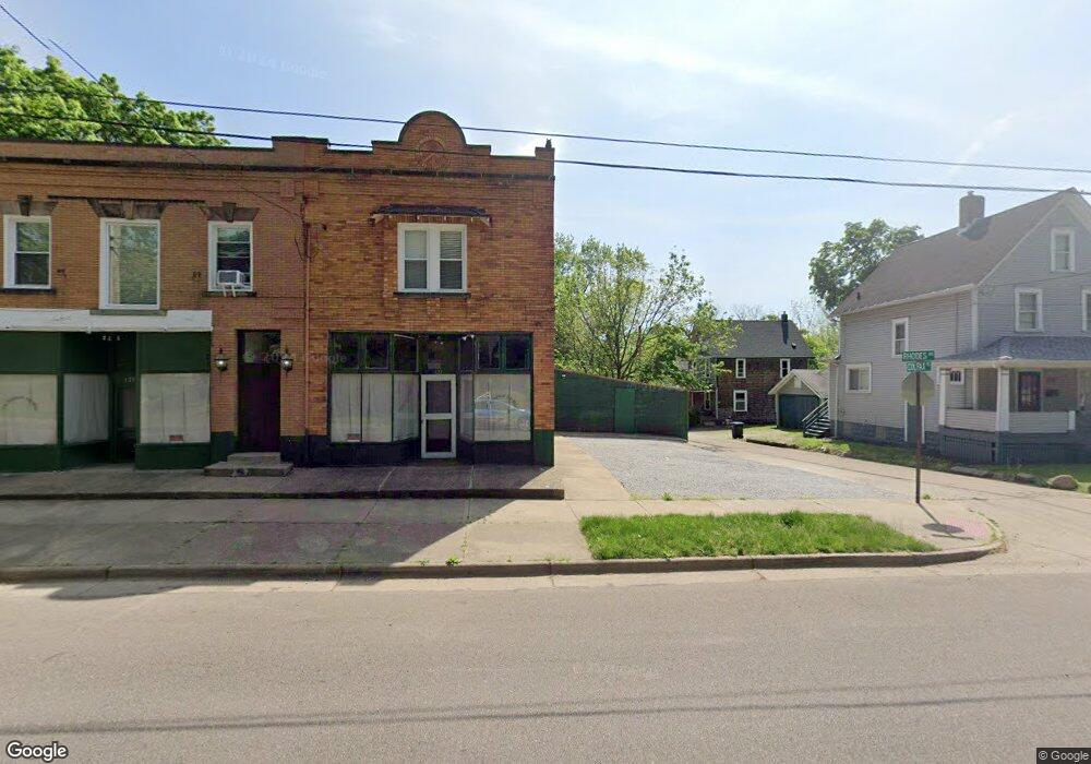
603 Colfax Place Akron, OH 44302
West Hill NeighborhoodEstimated Value: $119,000 - $711,000
Studio
--
Bath
--
Sq Ft
3,267
Sq Ft Lot
About This Home
This home is located at 603 Colfax Place, Akron, OH 44302 and is currently estimated at $415,000. 603 Colfax Place is a home located in Summit County with nearby schools including Towpath Trail High School, St. Vincent Elementary School, and Our Lady Of The Elms Elementary School.
Ownership History
Date
Name
Owned For
Owner Type
Purchase Details
Closed on
Jun 6, 2022
Sold by
Walter Theodore F and Walter Barbara A
Bought by
Jade Family I Trust
Current Estimated Value
Purchase Details
Closed on
Jun 2, 2022
Sold by
Walter Theodore F and Walter Barbara A
Bought by
Jade Family I Trust and Jade Family Ii Trust
Purchase Details
Closed on
Dec 23, 1997
Sold by
Walter Leo G
Bought by
Walter Theodore F and Walter Barbara A
Home Financials for this Owner
Home Financials are based on the most recent Mortgage that was taken out on this home.
Original Mortgage
$85,000
Interest Rate
7.36%
Mortgage Type
New Conventional
Create a Home Valuation Report for This Property
The Home Valuation Report is an in-depth analysis detailing your home's value as well as a comparison with similar homes in the area
Home Values in the Area
Average Home Value in this Area
Purchase History
| Date | Buyer | Sale Price | Title Company |
|---|---|---|---|
| Jade Family I Trust | $160,000 | Oldham Company Llc | |
| Jade Family I Trust | $160,000 | Oldham Company Llc | |
| Walter Theodore F | $85,000 | -- |
Source: Public Records
Mortgage History
| Date | Status | Borrower | Loan Amount |
|---|---|---|---|
| Previous Owner | Walter Theodore F | $85,000 |
Source: Public Records
Tax History
| Year | Tax Paid | Tax Assessment Tax Assessment Total Assessment is a certain percentage of the fair market value that is determined by local assessors to be the total taxable value of land and additions on the property. | Land | Improvement |
|---|---|---|---|---|
| 2025 | $251 | $2,723 | $2,723 | -- |
| 2024 | $251 | $2,723 | $2,723 | -- |
| 2023 | $251 | $2,723 | $2,723 | $0 |
| 2022 | $215 | $1,603 | $1,603 | $0 |
| 2021 | $215 | $1,603 | $1,603 | $0 |
| 2020 | $214 | $1,600 | $1,600 | $0 |
| 2019 | $241 | $1,830 | $1,830 | $0 |
| 2018 | $239 | $1,830 | $1,830 | $0 |
| 2017 | $241 | $1,830 | $1,830 | $0 |
| 2016 | $241 | $1,830 | $1,830 | $0 |
| 2015 | $241 | $1,830 | $1,830 | $0 |
| 2014 | $240 | $1,830 | $1,830 | $0 |
| 2013 | $239 | $1,860 | $1,860 | $0 |
Source: Public Records
Map
Nearby Homes
- 105 Westwood Ave
- 699 W Exchange St
- 212 Gale St
- 114 Beck Ave
- 262 S Portage Path
- 295 Grove St
- 127 Hollinger Ave
- 325 Beechwood Dr
- 141 Grand Ave
- 842 Stadelman Ave
- 434 Hillwood Dr
- 414 Beechwood Dr
- 445 Beechwood Dr
- 557 Weber Ave
- 370 Wildwood Ave
- 892 Delia Ave
- 87 Hawthorne Ave
- 939 W Exchange St
- 867 Orrin St
- 875 Orrin St
- 135 Rhodes Ave
- 598 Crosby St
- 598 Crosby St Unit 2nd floor
- 598 Colfax Place
- 606 Crosby St
- 121 Rhodes Ave Unit 127
- 121 Rhodes Ave
- 127 Rhodes Ave
- 610 Crosby St
- 595 Colfax Place
- 141 Rhodes Ave
- 594 Crosby St
- 587 Colfax Place
- 585 Colfax Place Unit 587
- 130 Rhodes Ave
- 585 587 Colfax Place
- 147 Rhodes Ave
- 622 Crosby St
- 588 Crosby St
- 99 Rhodes Ave
Your Personal Tour Guide
Ask me questions while you tour the home.