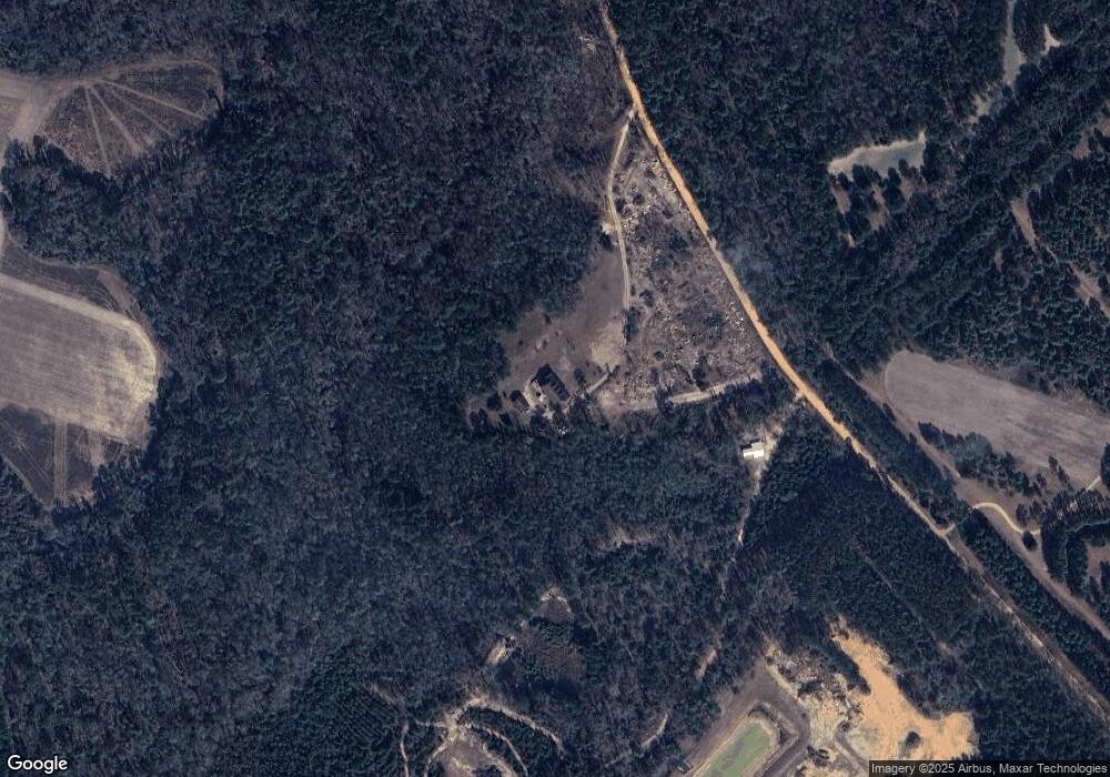
603 David Tippins Rd Claxton, GA 30417
Estimated Value: $494,954 - $753,000
6
Beds
5
Baths
6,151
Sq Ft
$95/Sq Ft
Est. Value
About This Home
This home is located at 603 David Tippins Rd, Claxton, GA 30417 and is currently estimated at $581,989, approximately $94 per square foot. 603 David Tippins Rd is a home located in Evans County with nearby schools including Claxton Elementary School, Second Chance, and Claxton Middle School.
Ownership History
Date
Name
Owned For
Owner Type
Purchase Details
Closed on
Jul 26, 2021
Sold by
Robbins Ernestine
Bought by
Petrocci Mark A and Petrocci Connie H
Current Estimated Value
Home Financials for this Owner
Home Financials are based on the most recent Mortgage that was taken out on this home.
Original Mortgage
$290,000
Outstanding Balance
$11,654
Interest Rate
3%
Mortgage Type
New Conventional
Estimated Equity
$570,335
Purchase Details
Closed on
Jan 26, 2009
Sold by
Robbins Ernestine
Bought by
Robbins Ernestine
Home Financials for this Owner
Home Financials are based on the most recent Mortgage that was taken out on this home.
Original Mortgage
$360,000
Interest Rate
5.08%
Purchase Details
Closed on
Mar 12, 1993
Sold by
Sands Charles Carson
Bought by
Robbins Claude
Create a Home Valuation Report for This Property
The Home Valuation Report is an in-depth analysis detailing your home's value as well as a comparison with similar homes in the area
Home Values in the Area
Average Home Value in this Area
Purchase History
| Date | Buyer | Sale Price | Title Company |
|---|---|---|---|
| Petrocci Mark A | $365,000 | -- | |
| Robbins Ernestine | -- | -- | |
| Robbins Claude | $30,000 | -- |
Source: Public Records
Mortgage History
| Date | Status | Borrower | Loan Amount |
|---|---|---|---|
| Open | Petrocci Mark A | $290,000 | |
| Closed | Petrocci Mark A | $70,620 | |
| Previous Owner | Robbins Ernestine | $360,000 |
Source: Public Records
Tax History Compared to Growth
Tax History
| Year | Tax Paid | Tax Assessment Tax Assessment Total Assessment is a certain percentage of the fair market value that is determined by local assessors to be the total taxable value of land and additions on the property. | Land | Improvement |
|---|---|---|---|---|
| 2024 | $3,570 | $156,520 | $19,400 | $137,120 |
| 2023 | $2,485 | $92,840 | $15,320 | $77,520 |
| 2022 | $2,320 | $90,360 | $15,320 | $75,040 |
| 2021 | $2,455 | $90,360 | $15,320 | $75,040 |
| 2020 | $2,412 | $90,440 | $15,320 | $75,120 |
| 2019 | $2,392 | $90,440 | $15,320 | $75,120 |
| 2018 | $2,544 | $89,280 | $15,320 | $73,960 |
| 2017 | $2,465 | $89,280 | $15,320 | $73,960 |
| 2016 | $2,651 | $94,840 | $21,880 | $72,960 |
| 2015 | -- | $97,200 | $22,120 | $75,080 |
| 2014 | -- | $97,200 | $22,120 | $75,080 |
| 2013 | -- | $101,680 | $22,360 | $79,320 |
Source: Public Records
Map
Nearby Homes
- 0 Sunbury Rd Unit Tract 6
- 0 Sunbury Rd Unit Tract 4
- 0 Sunbury Rd Unit TRACT 6 10599356
- 0 Sunbury Rd Unit TRACT 4 10599355
- 8893 Sunbury Rd
- 13320 Sunbury Rd
- 0 Gus Tippins Rd Unit 25437413
- 0 George Strickland Rd Unit 10626764
- 304 Mt Pleasant Rd
- 2571 Edgar Hodges Rd
- 4220 Otter Hole Branch Rd
- 3772 US Highway 301
- 3156 Sterling Rd
- 107 E Liberty St
- 12 S Duval St
- 201 New Dr
- 0 Ga Hwy 129 N Unit 10564606
- 326 N River St
- 3 Honeysuckle Dr
- 7 Honeysuckle Dr
- 306 David Tippins Rd
- 890 David Tippins Rd
- 11100 Sunbury Rd
- 11440 Sunbury Rd
- 10914 Sunbury Rd
- 0 Sunbury Rd Unit 9 7392219
- 0 Sunbury Rd Unit 9 7391696
- 0 Sunbury Rd Unit Tract 4 SA339073
- 0 Sunbury Rd Unit Tract 6 SA339082
- 0 Sunbury Rd Unit 20150873
- 0 Sunbury Rd Unit 20150872
- 0 Sunbury Rd Unit 3028528
- 0 Sunbury Rd Unit Lot 6 8609809
- 0 Sunbury Rd Unit Lot 5 8609735
- 0 Sunbury Rd Unit 208991
- 0 Sunbury Rd Unit 208934
- 10835 Sunbury Rd
- 2111 George Smith Rd
- 10929 Sunbury Rd
- 11025 Sunbury Rd
