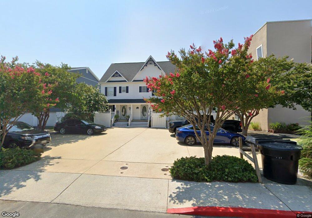
603 Dory Rd Unit B Ocean City, MD 21842
Estimated Value: $612,000 - $767,000
3
Beds
3
Baths
1,360
Sq Ft
$515/Sq Ft
Est. Value
About This Home
This home is located at 603 Dory Rd Unit B, Ocean City, MD 21842 and is currently estimated at $700,702, approximately $515 per square foot. 603 Dory Rd Unit B is a home located in Worcester County with nearby schools including Ocean City Elementary School, Stephen Decatur Middle School, and Berlin Intermediate School.
Ownership History
Date
Name
Owned For
Owner Type
Purchase Details
Closed on
Mar 11, 2024
Sold by
Rupinski Douglas T and Rupinski Mary P
Bought by
Douglas T Rupinski Revocable Trust and Mary P Rupinski Revocable Trust
Current Estimated Value
Purchase Details
Closed on
Mar 25, 2021
Sold by
Marzola David J and Marzola Alyce M
Bought by
Rupinski Douglas T and Rupinski Mary P
Purchase Details
Closed on
Oct 1, 2013
Sold by
Farrell Kathryn M and Tool Kathryn M
Bought by
Marzola David J and Marzola Alyce M
Home Financials for this Owner
Home Financials are based on the most recent Mortgage that was taken out on this home.
Original Mortgage
$284,000
Interest Rate
4.58%
Mortgage Type
New Conventional
Purchase Details
Closed on
Dec 7, 1999
Sold by
Dory Road Llc
Bought by
Toot Kathryn M
Create a Home Valuation Report for This Property
The Home Valuation Report is an in-depth analysis detailing your home's value as well as a comparison with similar homes in the area
Home Values in the Area
Average Home Value in this Area
Purchase History
| Date | Buyer | Sale Price | Title Company |
|---|---|---|---|
| Douglas T Rupinski Revocable Trust | -- | None Listed On Document | |
| Douglas T Rupinski Revocable Trust | -- | None Listed On Document | |
| Rupinski Douglas T | $530,500 | Excalibur Title & Escrow Llc | |
| Marzola David J | $355,000 | Maryland Title Service Corpo | |
| Toot Kathryn M | $194,900 | -- |
Source: Public Records
Mortgage History
| Date | Status | Borrower | Loan Amount |
|---|---|---|---|
| Previous Owner | Marzola David J | $284,000 | |
| Closed | Toot Kathryn M | -- |
Source: Public Records
Tax History Compared to Growth
Tax History
| Year | Tax Paid | Tax Assessment Tax Assessment Total Assessment is a certain percentage of the fair market value that is determined by local assessors to be the total taxable value of land and additions on the property. | Land | Improvement |
|---|---|---|---|---|
| 2025 | $5,825 | $474,833 | $0 | $0 |
| 2024 | $5,825 | $417,467 | $0 | $0 |
| 2023 | $5,061 | $360,100 | $202,500 | $157,600 |
| 2022 | $4,894 | $348,200 | $0 | $0 |
| 2021 | $4,752 | $336,300 | $0 | $0 |
| 2020 | $4,459 | $324,400 | $202,500 | $121,900 |
| 2019 | $4,459 | $314,400 | $0 | $0 |
| 2018 | $4,287 | $304,400 | $0 | $0 |
| 2017 | $3,968 | $294,400 | $0 | $0 |
| 2016 | -- | $279,467 | $0 | $0 |
| 2015 | $3,311 | $264,533 | $0 | $0 |
| 2014 | $3,311 | $249,600 | $0 | $0 |
Source: Public Records
Map
Nearby Homes
- 615 Salt Spray Rd
- 8904 Rusty Anchor Rd
- 8906 Rusty Anchor Rd Unit 11
- 616 Salt Spray Rd Unit 6
- 604 S Pacific Ave
- 701 Rusty Anchor Rd Unit 17
- 9203 Rusty Anchor Rd
- 710 Bradley Rd Unit A2
- 726 Mooring Rd
- 712 Bradley Rd Unit E
- 8601 Chesapeake Dr
- 9307 Chesapeake Dr
- 707 94th St Unit 302
- 720 Rusty Anchor Rd Unit 36C RUSTY ANCHOR
- 720 Rusty Anchor Rd
- 718 Mooring Rd Unit 203B
- 401 Bering Rd
- 722 Mooring Rd
- 8703 Caribbean Dr
- 8703 Caribbean Dr Unit B
- 603 C Dory Rd
- 603 Dory Rd Unit C
- 603 Dory Rd
- 603B Dory Rd
- 603C Dory Rd
- 603A Dory Rd
- 609 Dory Rd Unit 105
- 609 Dory Rd Unit 205
- 609 Dory Rd Unit 201
- 609 Dory Rd Unit 305
- 609 Dory Rd Unit 204
- 609 Dory Rd Unit 202
- 609 Dory Rd Unit 301
- 609 Dory Rd Unit 104
- 609 Dory Rd Unit 101
- 609 Dory Rd Unit 303
- 609 Dory Rd Unit 203
- 609 Dory Rd Unit 102
- 609 Dory Rd Unit 103
- 609 Dory Rd Unit 302