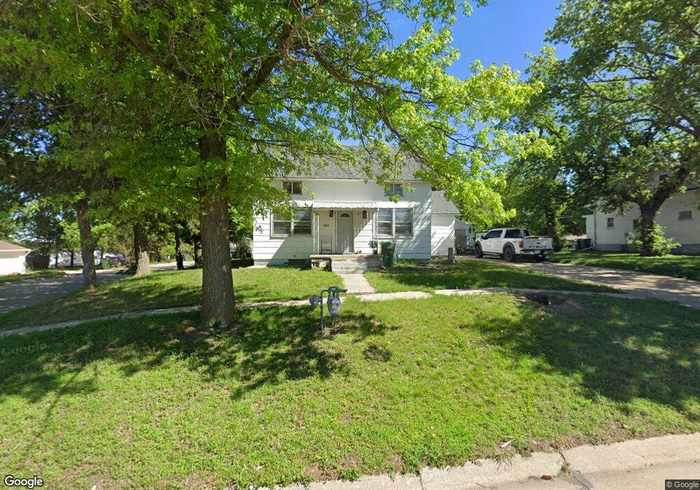
603 E Forrest St Sutton, NE 68979
Estimated Value: $77,000 - $121,815
3
Beds
1
Bath
1,632
Sq Ft
$64/Sq Ft
Est. Value
About This Home
This home is located at 603 E Forrest St, Sutton, NE 68979 and is currently estimated at $105,204, approximately $64 per square foot. 603 E Forrest St is a home located in Clay County with nearby schools including Sutton Elementary School, Sutton Secondary School, and Sutton Christian School.
Ownership History
Date
Name
Owned For
Owner Type
Purchase Details
Closed on
May 16, 2022
Sold by
Margarita Pfenning
Bought by
Reyes Investments Llc
Current Estimated Value
Purchase Details
Closed on
Nov 3, 2008
Sold by
Pfenning Ronald
Bought by
Pfenning Margarita
Create a Home Valuation Report for This Property
The Home Valuation Report is an in-depth analysis detailing your home's value as well as a comparison with similar homes in the area
Purchase History
| Date | Buyer | Sale Price | Title Company |
|---|---|---|---|
| Reyes Investments Llc | $37,000 | None Listed On Document | |
| Pfenning Margarita | -- | -- |
Source: Public Records
Tax History
| Year | Tax Paid | Tax Assessment Tax Assessment Total Assessment is a certain percentage of the fair market value that is determined by local assessors to be the total taxable value of land and additions on the property. | Land | Improvement |
|---|---|---|---|---|
| 2025 | $856 | $58,880 | $6,235 | $52,645 |
| 2024 | $791 | $51,620 | $6,235 | $45,385 |
| 2023 | $965 | $51,620 | $6,235 | $45,385 |
| 2022 | $680 | $36,840 | $2,580 | $34,260 |
| 2021 | $658 | $34,900 | $2,580 | $32,320 |
| 2020 | $623 | $34,900 | $2,580 | $32,320 |
| 2019 | $536 | $30,205 | $2,580 | $27,625 |
| 2018 | $539 | $30,205 | $2,580 | $27,625 |
| 2017 | $520 | $30,205 | $2,580 | $27,625 |
| 2016 | $363 | $19,300 | $2,580 | $16,720 |
| 2015 | $380 | $19,300 | $2,580 | $16,720 |
| 2014 | -- | $19,300 | $2,580 | $16,720 |
| 2013 | -- | $19,300 | $2,580 | $16,720 |
Source: Public Records
Map
Nearby Homes
- 209 E Grove St
- . Schwab Subdivision Lots
- 111 E Forrest St
- Lot 3 Wellman Schwab Subdivision Ave
- 403 S Way
- 502 S Maltby Ave
- 505 N Saunders Ave
- 712 S Maltby Ave
- 512 N James Ave
- 902 N Saunders Ave
- 811 S Saunders Ave
- Road 315
- Sutton Unit NE 68979
- Parcel 3 Walnut St
- Parcel 2 Walnut St
- 1820 Road 6
- 175 N Jackson Ave
- 235 E South St
- 1580
- 1580 Road 320
- 605 E Forrest St
- 511 E Forrest St
- 104 Crestview Dr
- 101 Crestview Dr
- 108 N Calvert Ave
- 611 E Forrest St
- 509 E Forrest St
- 103 Crestview Dr
- 608 E Forrest St
- 608 E Elm St
- 112 N Calvert Ave
- 510 E Forrest St
- 501 E Elm St
- 108 N Phillips Ave
- 505 E Forrest St
- 612 E Elm St
- 506 E Elm St
- 107 Crestview Dr
- 703 E Forrest St
- 508 E Forrest St
Your Personal Tour Guide
Ask me questions while you tour the home.