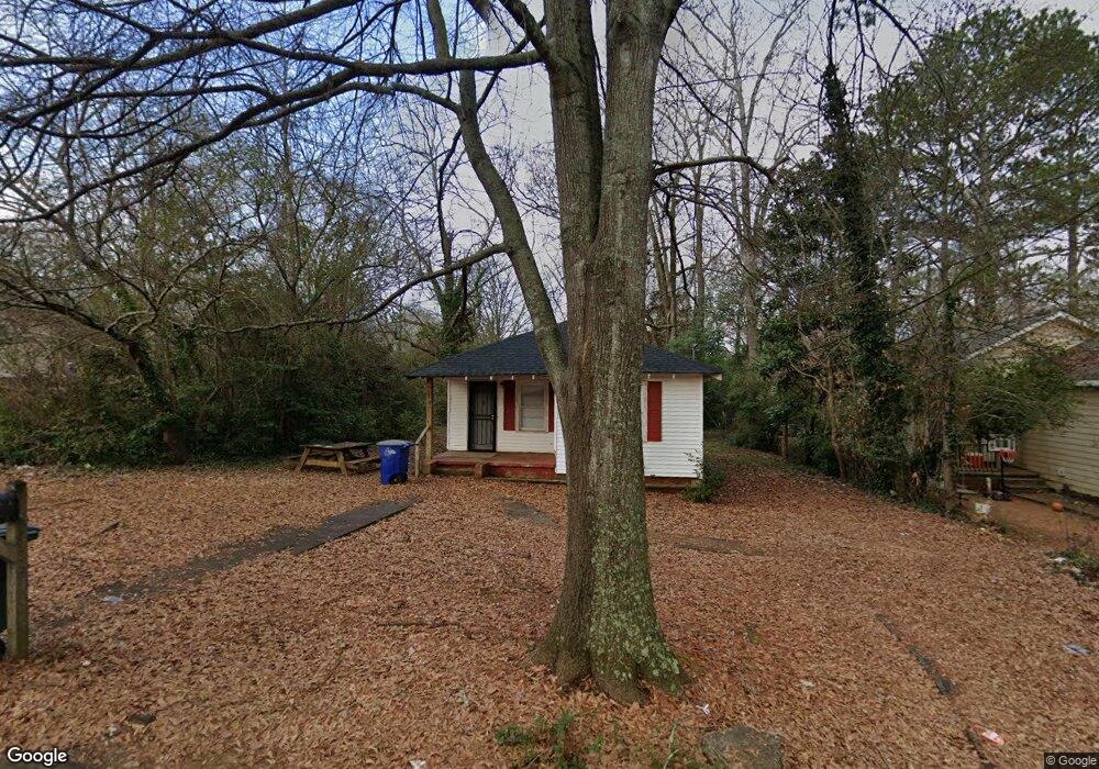
603 Lane St Griffin, GA 30223
Spalding County NeighborhoodEstimated Value: $79,764 - $101,000
2
Beds
1
Bath
744
Sq Ft
$120/Sq Ft
Est. Value
About This Home
This home is located at 603 Lane St, Griffin, GA 30223 and is currently estimated at $89,441, approximately $120 per square foot. 603 Lane St is a home located in Spalding County with nearby schools including Moore Elementary School, Kennedy Road Middle School, and Griffin High School.
Ownership History
Date
Name
Owned For
Owner Type
Purchase Details
Closed on
Sep 12, 1989
Sold by
Baird D M
Bought by
Baird Allyne H and Mosher Susan B
Current Estimated Value
Purchase Details
Closed on
Jul 8, 1977
Sold by
Commercial Bank & Trust Company
Bought by
Baird D M
Purchase Details
Closed on
Nov 2, 1976
Sold by
Moreland John H and Moreland Jeanette T
Bought by
Commercial Bank & Trust Company
Purchase Details
Closed on
Jul 1, 1970
Sold by
Forrer Arthur
Bought by
Moreland John H and Moreland Jeanette T
Purchase Details
Closed on
Mar 17, 1969
Sold by
Smith Jeanette Jackson
Bought by
Forrer Arthur
Create a Home Valuation Report for This Property
The Home Valuation Report is an in-depth analysis detailing your home's value as well as a comparison with similar homes in the area
Home Values in the Area
Average Home Value in this Area
Purchase History
| Date | Buyer | Sale Price | Title Company |
|---|---|---|---|
| Baird Allyne H | -- | -- | |
| Baird D M | $8,500 | -- | |
| Commercial Bank & Trust Company | $11,300 | -- | |
| Moreland John H | $11,500 | -- | |
| Forrer Arthur | $1,000 | -- |
Source: Public Records
Tax History Compared to Growth
Tax History
| Year | Tax Paid | Tax Assessment Tax Assessment Total Assessment is a certain percentage of the fair market value that is determined by local assessors to be the total taxable value of land and additions on the property. | Land | Improvement |
|---|---|---|---|---|
| 2024 | $525 | $13,744 | $3,840 | $9,904 |
| 2023 | $525 | $9,325 | $2,000 | $7,325 |
| 2022 | $333 | $8,335 | $2,000 | $6,335 |
| 2021 | $312 | $7,818 | $2,000 | $5,818 |
| 2020 | $312 | $7,818 | $2,000 | $5,818 |
| 2019 | $318 | $7,818 | $2,000 | $5,818 |
| 2018 | $304 | $7,195 | $2,000 | $5,195 |
| 2017 | $297 | $7,195 | $2,000 | $5,195 |
| 2016 | $271 | $7,595 | $2,400 | $5,195 |
| 2015 | $324 | $7,595 | $2,400 | $5,195 |
| 2014 | $284 | $7,595 | $2,400 | $5,195 |
Source: Public Records
Map
Nearby Homes
- 607 Lane St
- 606 N 9th St
- 554 N 8th St
- 546 N 8th St
- 135 Alabama St
- 3939 Georgia Highway 3 Old Atl Rd
- 514 Lane St
- 435 W Cherry St
- 441 W Cherry St
- 566 N 13th St
- 418 N 9th St
- 117 Thurman St
- 106 E Cherry St
- 102 E Cherry St
- 421 N 6th St
- 525 W Quilly St
- 122 W Lexington Ave
- 411 Palace St
- 533 Belle St
- 833 A&b E Tinsley St
- 213 Georgia Ave
- 215 Georgia Ave
- 611 Lane St Unit 15
- 611 Lane St
- 615 Lane St
- 610 N 9th St
- 610 Lane St
- 612 N 9th St
- 216 Alabama St
- 209 Georgia Ave
- 616 N 9th St
- 602 N 9th St
- 559 Lane St
- 622 N 9th St
- 0 Lane St Unit 7489760
- 0 Lane St Unit 7170748
- 0 Lane St Unit 8279255
- 0 Lane St Unit 8127110
- 0 Lane St Unit 7606802
- 0 Lane St Unit 8124929