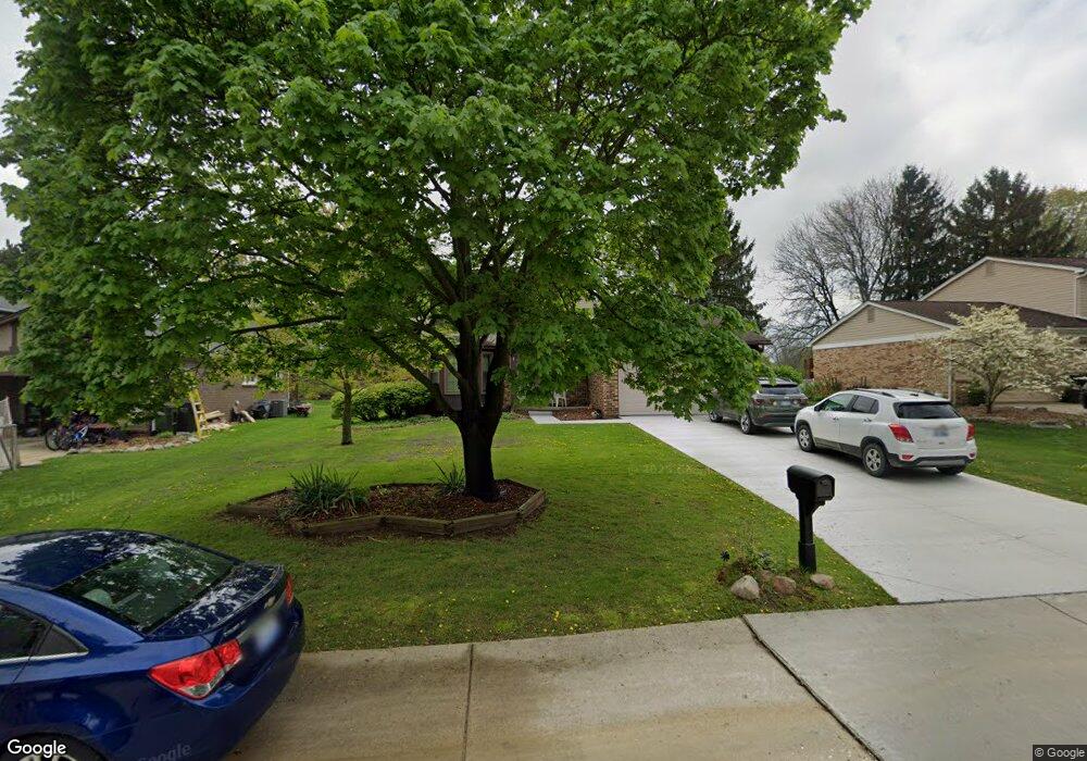
603 Lockport Rd Rochester, MI 48307
Estimated Value: $428,154 - $467,000
3
Beds
3
Baths
1,703
Sq Ft
$264/Sq Ft
Est. Value
About This Home
This home is located at 603 Lockport Rd, Rochester, MI 48307 and is currently estimated at $450,039, approximately $264 per square foot. 603 Lockport Rd is a home located in Oakland County with nearby schools including Hamlin Elementary School, Reuther Middle School, and Rochester High School.
Ownership History
Date
Name
Owned For
Owner Type
Purchase Details
Closed on
Apr 17, 2017
Sold by
Anita Pop Revocable Trust and Pop Matthew Revocable Tru St
Bought by
Pop Anita and Pop Matthew
Current Estimated Value
Home Financials for this Owner
Home Financials are based on the most recent Mortgage that was taken out on this home.
Interest Rate
4.08%
Purchase Details
Closed on
Oct 9, 2002
Sold by
Matthew Pop Tr
Bought by
Pop Matthew
Home Financials for this Owner
Home Financials are based on the most recent Mortgage that was taken out on this home.
Original Mortgage
$141,400
Interest Rate
6.1%
Purchase Details
Closed on
Dec 10, 2001
Sold by
Pop Matthew
Bought by
Matthew Pop Tr
Purchase Details
Closed on
Mar 29, 1996
Sold by
Fisk Milton
Bought by
Pop Matthew G
Home Financials for this Owner
Home Financials are based on the most recent Mortgage that was taken out on this home.
Original Mortgage
$150,000
Interest Rate
7.91%
Create a Home Valuation Report for This Property
The Home Valuation Report is an in-depth analysis detailing your home's value as well as a comparison with similar homes in the area
Home Values in the Area
Average Home Value in this Area
Purchase History
| Date | Buyer | Sale Price | Title Company |
|---|---|---|---|
| Pop Anita | $1 | -- | |
| Pop Matthew | -- | -- | |
| Matthew Pop Tr | -- | -- | |
| Pop Matthew G | $167,000 | -- |
Source: Public Records
Mortgage History
| Date | Status | Borrower | Loan Amount |
|---|---|---|---|
| Closed | Pop Anita | -- | |
| Previous Owner | Pop Matthew | $141,400 | |
| Previous Owner | Pop Matthew G | $150,000 |
Source: Public Records
Tax History Compared to Growth
Tax History
| Year | Tax Paid | Tax Assessment Tax Assessment Total Assessment is a certain percentage of the fair market value that is determined by local assessors to be the total taxable value of land and additions on the property. | Land | Improvement |
|---|---|---|---|---|
| 2022 | $1,631 | $141,500 | $0 | $0 |
| 2018 | $2,702 | $118,610 | $0 | $0 |
| 2017 | $2,649 | $116,130 | $0 | $0 |
| 2015 | -- | $101,470 | $0 | $0 |
| 2014 | -- | $89,760 | $0 | $0 |
| 2011 | -- | $80,660 | $0 | $0 |
Source: Public Records
Map
Nearby Homes
- 2132 Winchester Rd
- 2352 Cumberland Rd
- 00 Fieldcrest Ct
- 120 Montmorency Rd
- 2020 Breckenridge Ct
- 2043 Breckenridge Ct
- 2044 Breckenridge Ct
- 2019 Breckenridge Ct
- 2028 Breckenridge Ct Unit 10
- 2032 Breckenridge Ct Unit 9
- 700 Woodfield Way
- 2198 S Rochester Rd
- 2009 Logan Dr
- 2196 Willow Leaf Dr
- 1574 Meadow Side Dr Unit 199
- 1495 Colony Dr
- 1612 Stonecrest Dr
- 2770 Hickory Lawn Rd
- 404 Meadow Bridge Dr
- 2289 Rochelle Park Dr Unit AA123
- 615 Lockport Rd
- 579 Lockport Rd
- 627 Lockport Rd
- 610 Lockport Rd
- 598 Lockport Rd
- 567 Lockport Rd
- 586 Lockport Rd
- 622 Lockport Rd
- 2407 Carlisle
- 639 Lockport Rd
- 574 Lockport Rd
- 634 Lockport Rd
- 2098 Highsplint Dr
- 2106 Highsplint Dr Unit Bldg-Unit
- 2106 Highsplint Dr
- 651 Lockport Rd
- 2081 Warrington Rd
- 2075 Warrington Rd
- 2069 Warrington Rd
- 2087 Warrington Rd