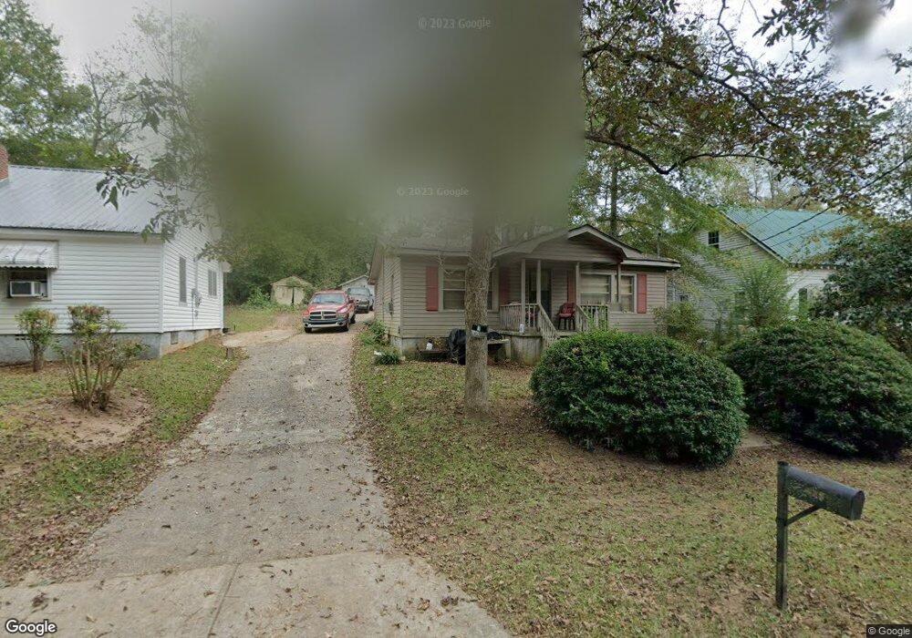
603 Max Anderson Dr Manchester, GA 31816
Estimated Value: $49,765 - $101,000
3
Beds
1
Bath
994
Sq Ft
$81/Sq Ft
Est. Value
About This Home
This home is located at 603 Max Anderson Dr, Manchester, GA 31816 and is currently estimated at $80,691, approximately $81 per square foot. 603 Max Anderson Dr is a home located in Meriwether County with nearby schools including Mountain View Elementary School, Manchester Middle School, and Manchester High School.
Ownership History
Date
Name
Owned For
Owner Type
Purchase Details
Closed on
Jun 1, 2006
Sold by
Not Provided
Bought by
Foster Sammy and Harris Cheryl
Current Estimated Value
Purchase Details
Closed on
Oct 31, 2000
Sold by
Daniel Willie Lue Wa
Bought by
Warrior Marcus L
Purchase Details
Closed on
Aug 24, 1999
Sold by
Quillin Betty J
Bought by
Daniel Willie Lue Wa
Purchase Details
Closed on
Nov 1, 1993
Sold by
Warrior Willie Lou
Bought by
Quillin Betty J
Purchase Details
Closed on
Jan 1, 1977
Bought by
Warrior Willie Lou
Create a Home Valuation Report for This Property
The Home Valuation Report is an in-depth analysis detailing your home's value as well as a comparison with similar homes in the area
Home Values in the Area
Average Home Value in this Area
Purchase History
| Date | Buyer | Sale Price | Title Company |
|---|---|---|---|
| Foster Sammy | $13,500 | -- | |
| Warrior Marcus L | $16,000 | -- | |
| Daniel Willie Lue Wa | -- | -- | |
| Quillin Betty J | -- | -- | |
| Warrior Willie Lou | -- | -- |
Source: Public Records
Tax History Compared to Growth
Tax History
| Year | Tax Paid | Tax Assessment Tax Assessment Total Assessment is a certain percentage of the fair market value that is determined by local assessors to be the total taxable value of land and additions on the property. | Land | Improvement |
|---|---|---|---|---|
| 2024 | $484 | $10,252 | $1,080 | $9,172 |
| 2023 | $497 | $10,252 | $1,080 | $9,172 |
| 2022 | $497 | $10,252 | $1,080 | $9,172 |
| 2021 | $327 | $10,252 | $1,080 | $9,172 |
| 2020 | $329 | $10,252 | $1,080 | $9,172 |
| 2019 | $331 | $10,252 | $1,080 | $9,172 |
| 2018 | $334 | $10,252 | $1,080 | $9,172 |
| 2017 | $338 | $10,252 | $1,080 | $9,172 |
| 2016 | $338 | $10,252 | $1,080 | $9,172 |
| 2015 | $338 | $10,252 | $1,080 | $9,172 |
| 2014 | $338 | $10,252 | $1,080 | $9,172 |
| 2013 | -- | $10,252 | $1,080 | $9,172 |
Source: Public Records
Map
Nearby Homes
- 322 Chalybeate St
- 802 Jd Parham Dr
- 603 Atlantic St
- 919 L S Glencamp Way
- 305 Holy Hill Place
- 200 Hunt Cir
- 13.27 ACRES Roosevelt Hwy
- 77 Cordwood St
- 94 Cato St
- 12 Truitt St
- 522 4th St
- 304 4th St
- 16 North St
- 21 North St
- 36 E 2nd St
- 408 Broad St
- 514 Farris Blvd
- 0 Phil Howe Rd Unit 10494213
- 434 Parkman Dr
- 604 Farris Blvd
- 603 Max Anderson Dr
- 601 Max Anderson Dr
- 605 Max Anderson Dr
- 605 Max Anderson Dr
- 603 Oconee St
- 601 Oconee St
- 607 Oconee St
- 608 Max Anderson Dr
- 523 Oconee St
- 614 Max Anderson Dr
- 606 Max Anderson Dr
- 611 Oconee St
- 521 Oconee St
- 615 Max Anderson Dr
- 518 Max Anderson Dr
- 608 Oconee St
- 610 Oconee St
- 610 Oconee St
- 519 Oconee St
- 524 Oconee St