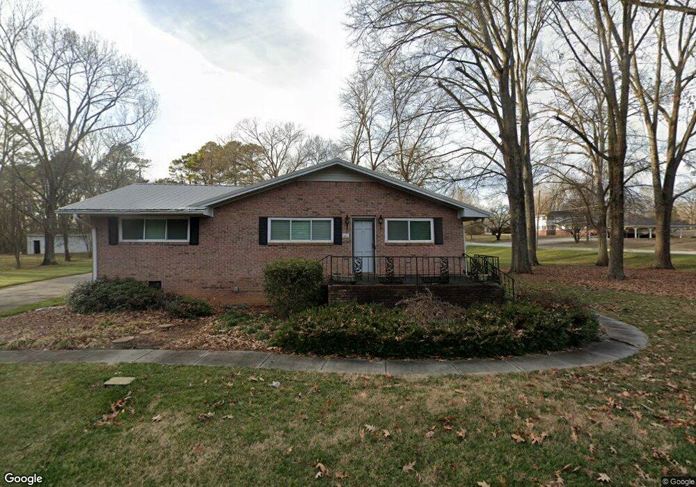
603 Peters St Calhoun, GA 30701
Estimated Value: $257,000 - $376,000
3
Beds
2
Baths
2,418
Sq Ft
$123/Sq Ft
Est. Value
About This Home
This home is located at 603 Peters St, Calhoun, GA 30701 and is currently estimated at $296,885, approximately $122 per square foot. 603 Peters St is a home located in Gordon County with nearby schools including Calhoun Primary School, Calhoun Elementary School, and Calhoun Middle School.
Ownership History
Date
Name
Owned For
Owner Type
Purchase Details
Closed on
Nov 21, 2020
Sold by
Watts Walter Simmons
Bought by
Watts Oliver S
Current Estimated Value
Purchase Details
Closed on
Aug 1, 2007
Sold by
Johnson Bobbie P
Bought by
Watts Ann M
Home Financials for this Owner
Home Financials are based on the most recent Mortgage that was taken out on this home.
Original Mortgage
$250,000
Interest Rate
6.56%
Mortgage Type
New Conventional
Purchase Details
Closed on
Mar 9, 1998
Bought by
Pulliam Randall V and Pulliam Lynn
Create a Home Valuation Report for This Property
The Home Valuation Report is an in-depth analysis detailing your home's value as well as a comparison with similar homes in the area
Home Values in the Area
Average Home Value in this Area
Purchase History
| Date | Buyer | Sale Price | Title Company |
|---|---|---|---|
| Watts Oliver S | -- | -- | |
| Watts Oliver S | -- | -- | |
| Watts Oliver S | -- | -- | |
| Watts Oliver S | -- | -- | |
| Watts Oliver S | -- | -- | |
| Watts Ann M | $250,000 | -- | |
| Pulliam Randall V | $90,000 | -- |
Source: Public Records
Mortgage History
| Date | Status | Borrower | Loan Amount |
|---|---|---|---|
| Previous Owner | Watts Ann M | $250,000 |
Source: Public Records
Tax History Compared to Growth
Tax History
| Year | Tax Paid | Tax Assessment Tax Assessment Total Assessment is a certain percentage of the fair market value that is determined by local assessors to be the total taxable value of land and additions on the property. | Land | Improvement |
|---|---|---|---|---|
| 2024 | $1,076 | $89,360 | $11,440 | $77,920 |
| 2023 | $971 | $80,800 | $10,880 | $69,920 |
| 2022 | $712 | $76,880 | $11,120 | $65,760 |
| 2021 | $797 | $66,800 | $12,160 | $54,640 |
| 2020 | $813 | $67,680 | $12,160 | $55,520 |
| 2019 | $809 | $67,680 | $12,160 | $55,520 |
| 2018 | $556 | $59,720 | $11,560 | $48,160 |
| 2017 | $543 | $57,240 | $11,560 | $45,680 |
| 2016 | $544 | $57,240 | $11,560 | $45,680 |
| 2015 | $518 | $54,160 | $11,560 | $42,600 |
| 2014 | $441 | $47,270 | $10,352 | $36,918 |
Source: Public Records
Map
Nearby Homes
- 306 E Belmont Dr
- 102 Sylvania Cir
- 111 Lewis Dr SE
- 0 W Belmont Dr Unit 10489910
- 1311 Us Highway 41
- 199 Cherry St SE
- 1401 U S 41
- 402 Linda Ln
- 119 Deer Park Ln
- 201 Porch Loop SE
- 0 Richardson Rd SE Unit 10474273
- 0 Richardson Rd SE Unit 7537183
- 220 Porch Loop SE
- 00 Curtis Cir
- 200 Wildwood Cir SE
- 0 Lovers Lane Rd SE Unit 10509663
- The Pearson Plan at Creekview
- The Coleman Plan at Creekview
- The Benson II Plan at Creekview
- The Piedmont Plan at Creekview
- 0 Kenmoreland Dr Unit 2730047
- 0 Kenmoreland Dr Unit 8897321
- 0 Kenmoreland Dr Unit 8985136
- 0 Kenmoreland Dr Unit 6885322
- 601 Peters St
- 104 Kenmorland Cir
- 605 Peters St
- 602 Peters St
- 600 Peters St
- 105 Kenmorland Cir
- 0 Kenmorland Cir Unit 7497183
- 0 Kenmorland Cir Unit 7124295
- 0 Kenmorland Cir
- 604 Peters St
- 127 E Belmont Dr
- 201 E Belmont Dr
- 203 E Belmont Dr
- 607 Peters St
- 121 E Belmont Dr
- 110 Kenmorland Cir