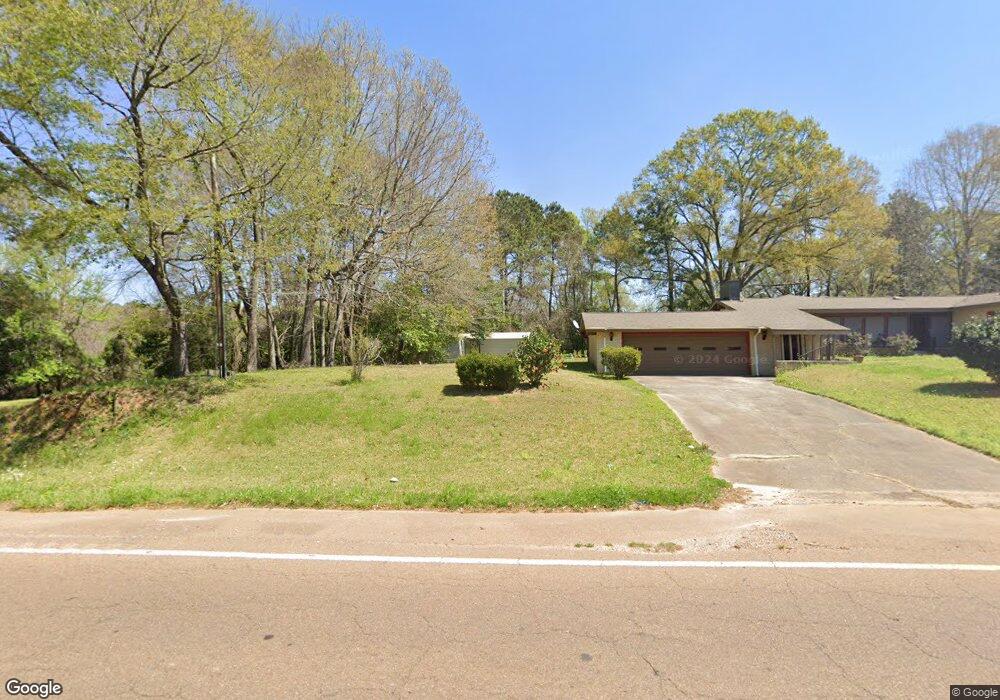
603 S Locust St McComb, MS 39648
Estimated Value: $47,000 - $134,000
3
Beds
1
Bath
1,032
Sq Ft
$75/Sq Ft
Est. Value
About This Home
This home is located at 603 S Locust St, McComb, MS 39648 and is currently estimated at $77,149, approximately $74 per square foot. 603 S Locust St is a home located in Pike County with nearby schools including North Pike Elementary School, North Pike Middle School, and North Pike Senior High School.
Ownership History
Date
Name
Owned For
Owner Type
Purchase Details
Closed on
Aug 26, 2020
Sold by
Deer Freddie
Bought by
Bennett Gwendolyn
Current Estimated Value
Home Financials for this Owner
Home Financials are based on the most recent Mortgage that was taken out on this home.
Original Mortgage
$37,000
Interest Rate
2.9%
Mortgage Type
Seller Take Back
Purchase Details
Closed on
Dec 21, 2015
Sold by
Deer Freddie and Deer Juanita Marie Toblas
Bought by
Deer Fredie
Create a Home Valuation Report for This Property
The Home Valuation Report is an in-depth analysis detailing your home's value as well as a comparison with similar homes in the area
Purchase History
We collect this data history from publicly available records. To have your information removed, we recommend requesting removal directly through your county’s website.
| Date | Buyer | Sale Price | Title Company |
|---|---|---|---|
| Bennett Gwendolyn | -- | None Available | |
| Deer Fredie | -- | None Available |
Source: Public Records
Mortgage History
We collect this data history from publicly available records. To have your information removed, we recommend requesting removal directly through your county’s website.
| Date | Status | Borrower | Loan Amount |
|---|---|---|---|
| Closed | Bennett Gwendolyn | $37,000 |
Source: Public Records
Tax History
| Year | Tax Paid | Tax Assessment Tax Assessment Total Assessment is a certain percentage of the fair market value that is determined by local assessors to be the total taxable value of land and additions on the property. | Land | Improvement |
|---|---|---|---|---|
| 2025 | $266 | $1,935 | $0 | $0 |
| 2024 | $244 | $1,806 | $0 | $0 |
| 2023 | $241 | $1,806 | $0 | $0 |
| 2022 | $236 | $1,806 | $0 | $0 |
| 2021 | $235 | $1,806 | $0 | $0 |
| 2020 | $457 | $2,635 | $0 | $0 |
| 2019 | $438 | $2,635 | $0 | $0 |
| 2018 | $425 | $2,635 | $0 | $0 |
| 2017 | $427 | $2,635 | $0 | $0 |
| 2016 | $424 | $2,635 | $0 | $0 |
| 2015 | -- | $3,275 | $0 | $0 |
| 2014 | -- | $3,275 | $0 | $0 |
| 2013 | -- | $3,251 | $0 | $0 |
Source: Public Records
Map
Nearby Homes
- 1002 Pershing St
- 0 Morgantown Rd Unit 4125975
- 730 Vogel St
- 0 McComb Holmesville Rd
- 219 S Live Oak St
- 1148 Morgantown Rd
- 505 S Magnolia St
- 318 S Cherry St
- 1114 Pearl River Ave
- 1031 Pearl River Ave
- 126 N Chestnut St
- 0 Old 24 Hwy
- 133 N Live Oak St
- 143 N Myrtle St
- 115 Scott St
- 1002 Avenue F
- 604 S Broadway St
- 324 S Broadway St
- 823 Edgar St
- 200-208 5th Ave
- 1029 Wilson St
- 1103 Wilson St
- 1203 Wilson St
- 600 S Locust St
- 602 S Locust St
- 1200 Wilson St
- 1030 Laird Ave
- 701 S Locust St
- 509 S Locust St
- 720 S Locust St
- 1201 Wilson St
- 1030 Laird Ave
- 1205 Wilson St
- 1017 Wilson St
- 778 Wilson St
- 802 S Locust St
- 1035 Laird Ave
- 1016 Laird Ave
- 805 S Locust St
- 709 S Locust St
Your Personal Tour Guide
Ask me questions while you tour the home.