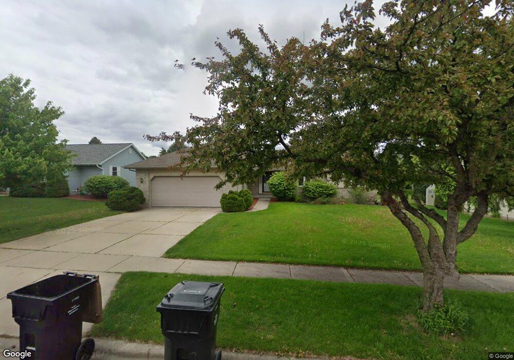
603 Southbound Dr de Forest, WI 53532
Estimated Value: $376,000 - $653,000
4
Beds
3
Baths
3,600
Sq Ft
$140/Sq Ft
Est. Value
About This Home
This home is located at 603 Southbound Dr, de Forest, WI 53532 and is currently estimated at $503,449, approximately $139 per square foot. 603 Southbound Dr is a home located in Dane County with nearby schools including Eagle Point Elementary School, DeForest Middle School, and DeForest High School.
Ownership History
Date
Name
Owned For
Owner Type
Purchase Details
Closed on
May 31, 2005
Sold by
Rightmyer Allen W and Rightmyer Mary J
Bought by
Tripathi Niraj K and Tripathi Harjeet
Current Estimated Value
Home Financials for this Owner
Home Financials are based on the most recent Mortgage that was taken out on this home.
Original Mortgage
$187,700
Interest Rate
5.43%
Mortgage Type
New Conventional
Create a Home Valuation Report for This Property
The Home Valuation Report is an in-depth analysis detailing your home's value as well as a comparison with similar homes in the area
Home Values in the Area
Average Home Value in this Area
Purchase History
| Date | Buyer | Sale Price | Title Company |
|---|---|---|---|
| Tripathi Niraj K | $278,000 | None Available |
Source: Public Records
Mortgage History
| Date | Status | Borrower | Loan Amount |
|---|---|---|---|
| Closed | Tripathi Niraj K | $187,700 |
Source: Public Records
Tax History Compared to Growth
Tax History
| Year | Tax Paid | Tax Assessment Tax Assessment Total Assessment is a certain percentage of the fair market value that is determined by local assessors to be the total taxable value of land and additions on the property. | Land | Improvement |
|---|---|---|---|---|
| 2024 | $7,468 | $452,900 | $89,200 | $363,700 |
| 2023 | $7,635 | $437,000 | $89,200 | $347,800 |
| 2021 | $7,264 | $357,000 | $72,200 | $284,800 |
| 2020 | $7,324 | $345,400 | $66,000 | $279,400 |
| 2019 | $6,955 | $330,700 | $66,000 | $264,700 |
| 2018 | $6,066 | $292,700 | $66,000 | $226,700 |
| 2017 | $5,795 | $292,700 | $66,000 | $226,700 |
| 2016 | $5,853 | $292,700 | $66,000 | $226,700 |
| 2015 | $5,419 | $258,900 | $55,600 | $203,300 |
| 2014 | $5,319 | $258,900 | $55,600 | $203,300 |
| 2013 | $5,827 | $258,900 | $55,600 | $203,300 |
Source: Public Records
Map
Nearby Homes
- 322 Yorktown Rd
- 394 Blackberry Ln
- 4041 Bear Tree Pkwy
- 4049 Bear Tree Pkwy
- 404 S Cleveland Ave
- 809 Southbound Dr
- 33.5 Ac River Rd
- L1 Liuna Way
- 400 Market St
- 6708 Yahara Springs Ct
- 520 E Holum St
- 716 E Holum St
- 392 Campbell Hill Ct
- 939 Lavender Way
- 396 Campbell Hill Ct
- 4069 Whistle Rock Cir
- Lot 413 Whistle Rock Cir
- 524 Park Ave
- 216 Sanford Dr
- 528 Park Ave
- 605 Southbound Dr
- 601 Southbound Dr
- 604 Greenfield Dr
- 602 Greenfield Dr
- 606 Greenfield Dr
- 607 Southbound Dr
- 602 Southbound Dr
- 330 Burl Oak Dr
- 608 Greenfield Dr
- 331 Yorktown Rd
- 609 Southbound Dr
- 610 Greenfield Dr
- 333 Burl Oak Dr
- 328 Burl Oak Dr
- 608 Southbound Dr
- 330 Yorktown Rd
- 603 Greenfield Dr
- 611 Southbound Dr
- 605 Greenfield Dr
- 601 Greenfield Dr