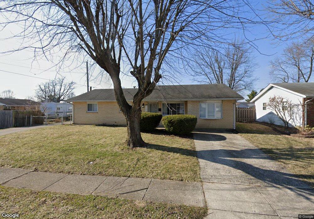
603 Spinning Rd New Carlisle, OH 45344
Estimated Value: $174,000 - $210,881
4
Beds
2
Baths
1,469
Sq Ft
$132/Sq Ft
Est. Value
About This Home
This home is located at 603 Spinning Rd, New Carlisle, OH 45344 and is currently estimated at $194,470, approximately $132 per square foot. 603 Spinning Rd is a home located in Clark County with nearby schools including New Carlisle Elementary School, Park Layne Elementary School, and Donnelsville Elementary School.
Ownership History
Date
Name
Owned For
Owner Type
Purchase Details
Closed on
Aug 31, 2021
Sold by
Mathis Kerry Ann and Estate Of Opal Martha Stephens
Bought by
Rogers Dylan
Current Estimated Value
Home Financials for this Owner
Home Financials are based on the most recent Mortgage that was taken out on this home.
Original Mortgage
$115,570
Outstanding Balance
$105,160
Interest Rate
2.8%
Mortgage Type
Purchase Money Mortgage
Estimated Equity
$89,310
Purchase Details
Closed on
Jan 1, 1980
Create a Home Valuation Report for This Property
The Home Valuation Report is an in-depth analysis detailing your home's value as well as a comparison with similar homes in the area
Home Values in the Area
Average Home Value in this Area
Purchase History
| Date | Buyer | Sale Price | Title Company |
|---|---|---|---|
| Rogers Dylan | $115,000 | Vantage Land Title | |
| -- | -- | -- |
Source: Public Records
Mortgage History
| Date | Status | Borrower | Loan Amount |
|---|---|---|---|
| Open | Rogers Dylan | $115,570 |
Source: Public Records
Tax History Compared to Growth
Tax History
| Year | Tax Paid | Tax Assessment Tax Assessment Total Assessment is a certain percentage of the fair market value that is determined by local assessors to be the total taxable value of land and additions on the property. | Land | Improvement |
|---|---|---|---|---|
| 2024 | $2,245 | $43,690 | $9,260 | $34,430 |
| 2023 | $2,245 | $43,690 | $9,260 | $34,430 |
| 2022 | $2,249 | $43,690 | $9,260 | $34,430 |
| 2021 | $1,583 | $36,400 | $7,130 | $29,270 |
| 2020 | $1,587 | $36,400 | $7,130 | $29,270 |
| 2019 | $1,613 | $36,400 | $7,130 | $29,270 |
| 2018 | $1,200 | $27,760 | $7,270 | $20,490 |
| 2017 | $1,118 | $34,178 | $7,270 | $26,908 |
| 2016 | $1,111 | $34,178 | $7,270 | $26,908 |
| 2015 | $1,197 | $33,555 | $7,126 | $26,429 |
| 2014 | $1,186 | $33,555 | $7,126 | $26,429 |
| 2013 | $1,188 | $33,555 | $7,126 | $26,429 |
Source: Public Records
Map
Nearby Homes
- 907 White Pine St
- 315 Fenwick Dr
- 1101 Cambridge Ct Unit 1103
- 224 Orth Dr
- 222 Rawson Dr
- 210 Zimmerman St
- 225 Prentice Dr
- 202 Fenwick Dr
- 210 Prentice Dr
- 1204 N Scott St
- 1211 N Scott St
- 1207 N Scott St
- 201 Monroe Way
- Palmetto Plan at Monroe Meadows
- Cooper Plan at Monroe Meadows
- Norway Plan at Monroe Meadows
- Chestnut Plan at Monroe Meadows
- Bradford Plan at Monroe Meadows
- Spruce Plan at Monroe Meadows
- Ironwood Plan at Monroe Meadows
- 605 Spinning Rd
- 1015 W Lake Ave
- 1017 W Lake Ave
- 602 Willowick Dr
- 607 Spinning Rd
- 604 Willowick Dr
- 1019 W Lake Ave
- 1013 W Lake Ave
- 606 Willowick Dr
- 604 Spinning Rd
- 602 Spinning Rd
- 609 Spinning Rd
- 608 Willowick Dr
- 1011 W Lake Ave
- 1012 W Lake Ave
- 606 Spinning Rd
- 1014 W Lake Ave
- 611 Spinning Rd
- 608 Spinning Rd
- 1009 W Lake Ave