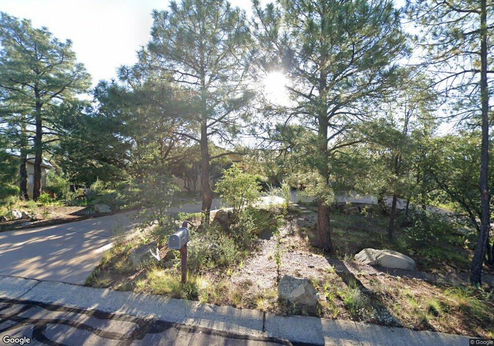
603 Thunderbird Dr Prescott, AZ 86303
Estimated Value: $657,000 - $824,000
3
Beds
2
Baths
2,029
Sq Ft
$356/Sq Ft
Est. Value
About This Home
This home is located at 603 Thunderbird Dr, Prescott, AZ 86303 and is currently estimated at $722,969, approximately $356 per square foot. 603 Thunderbird Dr is a home located in Yavapai County with nearby schools including Lincoln Elementary School, Granite Mountain Middle School, and Prescott Mile High Middle School.
Ownership History
Date
Name
Owned For
Owner Type
Purchase Details
Closed on
Jan 4, 2013
Sold by
Osburn Jeffrey
Bought by
Osburn Jeffrey
Current Estimated Value
Purchase Details
Closed on
Jun 24, 2011
Sold by
Jenkins Julie L
Bought by
Desousa Noel J and Christie Nancy E
Home Financials for this Owner
Home Financials are based on the most recent Mortgage that was taken out on this home.
Original Mortgage
$170,000
Outstanding Balance
$116,199
Interest Rate
4.45%
Mortgage Type
New Conventional
Estimated Equity
$606,770
Purchase Details
Closed on
Mar 9, 2001
Sold by
Powell William R and Powell Marjorie R
Bought by
Powell William R and Powell Marjorie R
Purchase Details
Closed on
Jul 22, 1994
Sold by
Howe Mary Ruth
Bought by
Howe Mary Ruth
Create a Home Valuation Report for This Property
The Home Valuation Report is an in-depth analysis detailing your home's value as well as a comparison with similar homes in the area
Purchase History
| Date | Buyer | Sale Price | Title Company |
|---|---|---|---|
| Osburn Jeffrey | -- | Yavapai Title Agency Inc | |
| Desousa Noel J | $285,000 | Pioneer Title Agency Inc | |
| Powell William R | -- | -- | |
| Howe Mary Ruth | -- | -- | |
| Howe Mary Ruth | -- | -- |
Source: Public Records
Mortgage History
| Date | Status | Borrower | Loan Amount |
|---|---|---|---|
| Open | Desousa Noel J | $170,000 |
Source: Public Records
Tax History
| Year | Tax Paid | Tax Assessment Tax Assessment Total Assessment is a certain percentage of the fair market value that is determined by local assessors to be the total taxable value of land and additions on the property. | Land | Improvement |
|---|---|---|---|---|
| 2026 | $1,611 | $57,103 | -- | -- |
| 2024 | $1,577 | $54,629 | -- | -- |
| 2023 | $1,577 | $44,900 | $0 | $0 |
| 2022 | $1,556 | $36,906 | $10,136 | $26,770 |
| 2021 | $1,669 | $35,430 | $9,051 | $26,379 |
| 2020 | $1,677 | $0 | $0 | $0 |
| 2019 | $1,665 | $0 | $0 | $0 |
| 2018 | $1,591 | $0 | $0 | $0 |
| 2017 | $1,533 | $0 | $0 | $0 |
| 2016 | $1,526 | $0 | $0 | $0 |
| 2015 | $1,480 | $0 | $0 | $0 |
| 2014 | -- | $0 | $0 | $0 |
Source: Public Records
Map
Nearby Homes
- 1786 Rolling Hills Dr
- 1486 Copper Basin Rd
- 641 Pueblo Ln Unit 76
- 641 Pueblo Ln
- 1483 Copper Basin Rd
- 642 Thunderbird Dr
- 1810 Petunia Place
- 830 Hassayampa Village Ln Unit L
- 1688 Stoney Ln
- 1106 E Timber Ridge Rd
- 1338 Pine Dr
- 1219 Timber Point N
- 1224 Timber Point N
- 1986 Black Hawk Cir
- 789 Crosscreek Dr
- 788 Crosscreek Dr
- 1993 Black Hawk Cir
- 1893 Timber Point E
- 2079 W Redwood Way
- 776 Hideaway Ln Unit 24
- 601 Thunderbird Dr
- 605 Thunderbird Dr
- 1504 Copper Basin Rd
- 602 Thunderbird Dr
- 5000a1 Copper Basin Rd
- 3655 Copper Basin Rd
- 3555 Copper Basin Rd
- 606 Thunderbird Dr
- 607 Thunderbird Dr
- 1500 Copper Basin Rd
- 1701 Broken Arrow Dr
- 1701 Thunderbird Cir
- 1503 Copper Basin Rd
- 1501 Copper Basin Rd
- 1502 Copper Canyon Dr
- 1002 Copper Vista Dr
- 1704 Broken Arrow Dr
- 609 Thunderbird Dr
- 1497 Copper Basin
- 1703 Thunderbird Cir
Your Personal Tour Guide
Ask me questions while you tour the home.