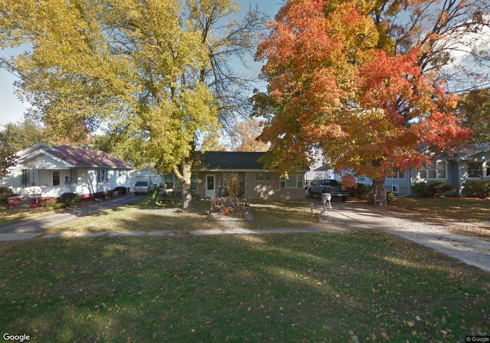
603 W Adams St Abingdon, IL 61410
Estimated Value: $79,000 - $91,000
2
Beds
1
Bath
1,148
Sq Ft
$72/Sq Ft
Est. Value
About This Home
This home is located at 603 W Adams St, Abingdon, IL 61410 and is currently estimated at $82,797, approximately $72 per square foot. 603 W Adams St is a home located in Knox County with nearby schools including Hedding Grade School, Avon Elementary School, and Abingdon-Avon Middle School.
Ownership History
Date
Name
Owned For
Owner Type
Purchase Details
Closed on
Jun 22, 2017
Sold by
Pacer Dana W
Bought by
Swearingen Edward E J
Current Estimated Value
Home Financials for this Owner
Home Financials are based on the most recent Mortgage that was taken out on this home.
Original Mortgage
$52,617
Outstanding Balance
$44,039
Interest Rate
4.25%
Mortgage Type
New Conventional
Estimated Equity
$38,758
Create a Home Valuation Report for This Property
The Home Valuation Report is an in-depth analysis detailing your home's value as well as a comparison with similar homes in the area
Home Values in the Area
Average Home Value in this Area
Purchase History
| Date | Buyer | Sale Price | Title Company |
|---|---|---|---|
| Swearingen Edward E J | $49,500 | Attorney Only |
Source: Public Records
Mortgage History
| Date | Status | Borrower | Loan Amount |
|---|---|---|---|
| Open | Swearingen Edward E J | $52,617 |
Source: Public Records
Tax History
| Year | Tax Paid | Tax Assessment Tax Assessment Total Assessment is a certain percentage of the fair market value that is determined by local assessors to be the total taxable value of land and additions on the property. | Land | Improvement |
|---|---|---|---|---|
| 2024 | $1,777 | $27,800 | $2,280 | $25,520 |
| 2023 | $1,777 | $25,090 | $2,060 | $23,030 |
| 2022 | $1,136 | $18,920 | $1,960 | $16,960 |
| 2021 | $1,094 | $18,190 | $1,880 | $16,310 |
| 2020 | $1,036 | $17,490 | $1,810 | $15,680 |
| 2019 | $1,059 | $17,310 | $1,790 | $15,520 |
| 2018 | $1,014 | $16,810 | $1,740 | $15,070 |
| 2017 | $1,409 | $20,860 | $1,710 | $19,150 |
| 2015 | -- | $20,450 | $1,680 | $18,770 |
| 2013 | $1,349 | $20,240 | $1,660 | $18,580 |
Source: Public Records
Map
Nearby Homes
- 500 N Monroe St
- 103 N Swarts St
- 407 W Martin St
- 905 W Palmer St
- 110 W Jackson St
- 106 E Jackson St
- 207 E Meek St
- 614 S East St
- 1196 160th St
- 1015 Sunny Knoll Dr
- 409 Knox Highway 26
- 999 Breezy Bluff Dr
- Lot 11 Spoden Ln
- Lot 2 Spoden Ln
- Lot 3 Spoden Ln
- Lot 1 Spoden Ln
- Lot 6 Spoden Ln
- Lot 12 Spoden Ln
- 1077 Knox Road 500 E
- 224 Academy St
- 605 W Adams St
- 601 W Adams St
- 607 W Adams St
- 602 N Walnut St
- 604 W North St
- 609 W Adams St
- 605 N Maple St
- 604 N Walnut St
- 511 W Adams St
- 604 W Adams St
- 600 W Adams St
- 606 W Adams St
- 605 N Walnut St
- 505 N Maple St
- 509 W Adams St
- 503 N Walnut St
- 607 N Walnut St
- 603 W North St
- 601 W North St
- 605 W North St
Your Personal Tour Guide
Ask me questions while you tour the home.