603 W Center St Le Roy, IL 61752
Estimated Value: $152,000 - $157,617
3
Beds
2
Baths
2,305
Sq Ft
$67/Sq Ft
Est. Value
About This Home
This home is located at 603 W Center St, Le Roy, IL 61752 and is currently estimated at $154,654, approximately $67 per square foot. 603 W Center St is a home located in McLean County with nearby schools including Le Roy Elementary School, Le Roy Junior High School, and Le Roy High School.
Ownership History
Date
Name
Owned For
Owner Type
Purchase Details
Closed on
Nov 13, 2018
Sold by
Us Bank National Association
Bought by
Austin Eddy Brian and Austin Eddy
Current Estimated Value
Home Financials for this Owner
Home Financials are based on the most recent Mortgage that was taken out on this home.
Original Mortgage
$75,000
Interest Rate
6.37%
Purchase Details
Closed on
Mar 11, 2005
Sold by
Stark Shirlene
Bought by
Bryant Jonathan E
Home Financials for this Owner
Home Financials are based on the most recent Mortgage that was taken out on this home.
Original Mortgage
$74,700
Interest Rate
7.89%
Mortgage Type
Adjustable Rate Mortgage/ARM
Create a Home Valuation Report for This Property
The Home Valuation Report is an in-depth analysis detailing your home's value as well as a comparison with similar homes in the area
Home Values in the Area
Average Home Value in this Area
Purchase History
| Date | Buyer | Sale Price | Title Company |
|---|---|---|---|
| Austin Eddy Brian | $32,000 | Attorney | |
| Bryant Jonathan E | $570,000 | None Available |
Source: Public Records
Mortgage History
| Date | Status | Borrower | Loan Amount |
|---|---|---|---|
| Closed | Austin Eddy Brian | $75,000 | |
| Previous Owner | Bryant Jonathan E | $74,700 |
Source: Public Records
Tax History Compared to Growth
Tax History
| Year | Tax Paid | Tax Assessment Tax Assessment Total Assessment is a certain percentage of the fair market value that is determined by local assessors to be the total taxable value of land and additions on the property. | Land | Improvement |
|---|---|---|---|---|
| 2024 | $2,449 | $31,952 | $9,930 | $22,022 |
| 2022 | $2,449 | $26,926 | $8,368 | $18,558 |
| 2021 | $2,359 | $25,622 | $7,963 | $17,659 |
| 2020 | $2,329 | $24,820 | $7,714 | $17,106 |
| 2019 | $2,295 | $24,820 | $7,714 | $17,106 |
| 2018 | $2,273 | $24,820 | $7,714 | $17,106 |
| 2017 | $2,524 | $27,618 | $7,770 | $19,848 |
| 2016 | $2,445 | $27,199 | $7,652 | $19,547 |
| 2015 | $2,378 | $26,420 | $7,433 | $18,987 |
| 2014 | $2,304 | $26,068 | $7,334 | $18,734 |
| 2013 | -- | $26,068 | $7,334 | $18,734 |
Source: Public Records
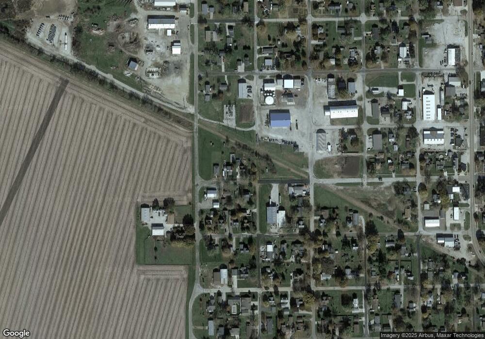
Map
Nearby Homes
- 000 Lot 6 Sunset Dr
- 000 Lot 4 Sunset Dr
- 000 Lot 5 Sunset Dr
- 000 Lot 2 Sunset Dr
- 110 W Green St
- 600 E Cedar St
- 230-005 Wayne St
- 26812 U S 150
- 112 Fox Run Ct
- 114 Fox Run Ct
- 302 Mockingbird Ln
- 21027 Prairie Chapel Rd
- 4397 N 3200 Rd E
- 52 Moss Dr
- 10 Moss Dr
- 11 Moss Dr
- 1000 Clinton Ave E
- 4 Moss Lake Rd
- 13809 Pine Rd
- 8095 N 2000 East Rd
- 603 W Center St
- 607 W Center St
- 101 S Allen St
- 101 S Allen St
- 609 W Center St
- 606 W Center St
- 0 800 N Unit 1198422
- lot 1 Johnson Sub
- 2600E Leroy Land
- 25631 E. 9 N Rd
- 407 School St
- lot#6 Staley Ct
- 5301 N 260 E Rd
- RR Waynesville
- 3383 N 237 East Rd
- 106 & 106. N Chesnut
- 106.5 N Chesnut
- 0 800 N Unit 1180924
- 000 W Confidential St
- 310 N Burson