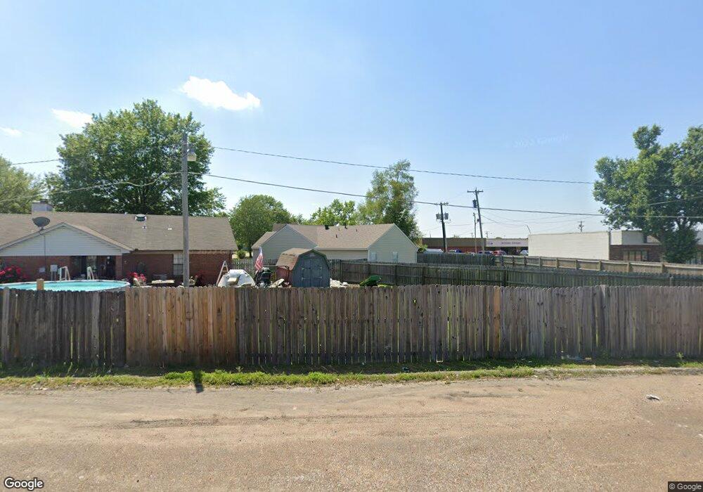
603 Westgate Cove West Memphis, AR 72301
Estimated Value: $125,447 - $157,000
--
Bed
2
Baths
1,255
Sq Ft
$113/Sq Ft
Est. Value
About This Home
This home is located at 603 Westgate Cove, West Memphis, AR 72301 and is currently estimated at $141,862, approximately $113 per square foot. 603 Westgate Cove is a home located in Crittenden County with nearby schools including Faulk Elementary School, Wonder Junior High School, and The Academies of West Memphis Charter School.
Ownership History
Date
Name
Owned For
Owner Type
Purchase Details
Closed on
Jun 11, 2014
Sold by
Linda V Linda V
Bought by
Youngblood Linda V
Current Estimated Value
Home Financials for this Owner
Home Financials are based on the most recent Mortgage that was taken out on this home.
Original Mortgage
$83,580
Outstanding Balance
$63,644
Interest Rate
4.23%
Mortgage Type
Unknown
Estimated Equity
$78,218
Purchase Details
Closed on
Aug 1, 1988
Bought by
Norris Linda
Purchase Details
Closed on
Jan 1, 1987
Bought by
To
Create a Home Valuation Report for This Property
The Home Valuation Report is an in-depth analysis detailing your home's value as well as a comparison with similar homes in the area
Home Values in the Area
Average Home Value in this Area
Purchase History
| Date | Buyer | Sale Price | Title Company |
|---|---|---|---|
| Youngblood Linda V | -- | -- | |
| Norris Linda | $57,000 | -- | |
| To | $9,000 | -- |
Source: Public Records
Mortgage History
| Date | Status | Borrower | Loan Amount |
|---|---|---|---|
| Open | Youngblood Linda V | $83,580 |
Source: Public Records
Tax History Compared to Growth
Tax History
| Year | Tax Paid | Tax Assessment Tax Assessment Total Assessment is a certain percentage of the fair market value that is determined by local assessors to be the total taxable value of land and additions on the property. | Land | Improvement |
|---|---|---|---|---|
| 2024 | $208 | $14,910 | $2,800 | $12,110 |
| 2023 | $283 | $14,910 | $2,800 | $12,110 |
| 2022 | $333 | $14,910 | $2,800 | $12,110 |
| 2021 | $333 | $14,910 | $2,800 | $12,110 |
| 2020 | $664 | $14,910 | $2,800 | $12,110 |
| 2019 | $554 | $14,660 | $2,800 | $11,860 |
| 2018 | $248 | $14,660 | $2,800 | $11,860 |
| 2017 | $248 | $14,660 | $2,800 | $11,860 |
| 2016 | $560 | $14,660 | $2,800 | $11,860 |
| 2015 | $254 | $14,660 | $2,800 | $11,860 |
| 2014 | $371 | $17,540 | $3,200 | $14,340 |
Source: Public Records
Map
Nearby Homes
- 522 Lois Marie Cove
- 503 W Oliver Ave
- 402 Oxford St
- 765 Dogwood Cove
- 503 Tulane Dr
- 501 Oxford St
- 511 W Cooper Ave
- 501 W Cooper Ave
- 320 W Cooper Ave
- 302 Georgetown Dr
- 607 W Barton Ave
- 307 W Cooper Ave
- 715 Foxwood St
- 811 Maple Dr
- 806 W Walnut Dr
- 210 W Cooper Ave
- 807 W Barton Ave
- 216 Roosevelt Ave
- 413 Gibson Ave
- 623 S Roselawn Dr
- 601 Westgate Cove
- 605 Westgate Cove
- 607 Westgate Cove
- 600 Westgate Cove
- 609 Westgate Cove
- 606 Westgate Cove
- 602 Westgate Cove
- 604 Westgate Cove
- 611 Westgate Cove
- 620 W Broadway St
- 620 W Broadway St Unit 1-9
- 608 Westgate Cove
- 613 Westgate Cove
- 610 Westgate Cove
- 517 Lois Marie Cove
- 515 Lois Marie Cove
- 519 Lois Marie Cove
- 513 Lois Marie Cove
- 521 Lois Marie Cove
- 511 Lois Marie Cove