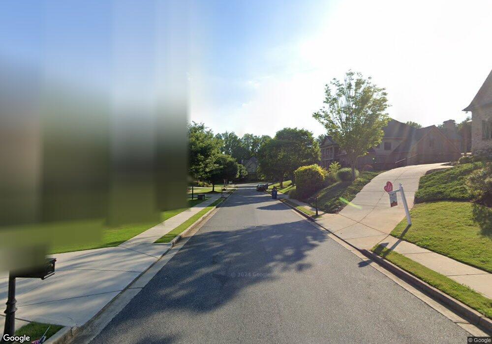
6030 Audobon Trace Unit 27 Cumming, GA 30040
Estimated Value: $878,000 - $928,000
4
Beds
4
Baths
3,851
Sq Ft
$235/Sq Ft
Est. Value
About This Home
This home is located at 6030 Audobon Trace Unit 27, Cumming, GA 30040 and is currently estimated at $906,294, approximately $235 per square foot. 6030 Audobon Trace Unit 27 is a home located in Forsyth County with nearby schools including Matt Elementary School, Liberty Middle School, and North Forsyth High School.
Ownership History
Date
Name
Owned For
Owner Type
Purchase Details
Closed on
Nov 13, 2020
Sold by
Seifert Kevin A
Bought by
Dodd Carolyn Beierla and Dodd Kenneth M
Current Estimated Value
Purchase Details
Closed on
Jun 27, 2013
Sold by
Page Leslie
Bought by
Seifert Kevin A and Seifert Kelly B
Home Financials for this Owner
Home Financials are based on the most recent Mortgage that was taken out on this home.
Original Mortgage
$361,000
Interest Rate
3.79%
Mortgage Type
New Conventional
Purchase Details
Closed on
Oct 15, 2002
Sold by
Peachtree Residential Prop Inc
Bought by
Page Leslie and Page Steve
Home Financials for this Owner
Home Financials are based on the most recent Mortgage that was taken out on this home.
Original Mortgage
$280,800
Interest Rate
6.18%
Mortgage Type
New Conventional
Create a Home Valuation Report for This Property
The Home Valuation Report is an in-depth analysis detailing your home's value as well as a comparison with similar homes in the area
Home Values in the Area
Average Home Value in this Area
Purchase History
| Date | Buyer | Sale Price | Title Company |
|---|---|---|---|
| Dodd Carolyn Beierla | $575,000 | -- | |
| Seifert Kevin A | $380,000 | -- | |
| Page Leslie | $351,000 | -- |
Source: Public Records
Mortgage History
| Date | Status | Borrower | Loan Amount |
|---|---|---|---|
| Previous Owner | Seifert Kevin A | $361,000 | |
| Previous Owner | Page Leslie | $280,800 |
Source: Public Records
Tax History Compared to Growth
Tax History
| Year | Tax Paid | Tax Assessment Tax Assessment Total Assessment is a certain percentage of the fair market value that is determined by local assessors to be the total taxable value of land and additions on the property. | Land | Improvement |
|---|---|---|---|---|
| 2025 | $7,074 | $338,880 | $40,000 | $298,880 |
| 2024 | $7,074 | $336,112 | $40,000 | $296,112 |
| 2023 | $6,344 | $312,772 | $30,000 | $282,772 |
| 2022 | $6,420 | $207,992 | $24,000 | $183,992 |
| 2021 | $5,515 | $207,992 | $24,000 | $183,992 |
| 2020 | $5,012 | $188,216 | $24,000 | $164,216 |
| 2019 | $4,949 | $184,796 | $22,000 | $162,796 |
| 2018 | $4,424 | $163,860 | $22,000 | $141,860 |
| 2017 | $4,376 | $160,836 | $22,000 | $138,836 |
| 2016 | $4,376 | $160,836 | $22,000 | $138,836 |
| 2015 | $4,472 | $160,836 | $22,000 | $138,836 |
| 2014 | $3,939 | $148,780 | $22,000 | $126,780 |
Source: Public Records
Map
Nearby Homes
- 6030 Audobon Trace
- 6020 Audobon Trace
- 6040 Audobon Trace
- 5909 Boxwood Meadow
- 6010 Audobon Trace
- 6050 Audobon Trace
- 6035 Audobon Trace
- 5907 Boxwood Meadow
- 6015 Audobon Trace
- 5911 Boxwood Meadow
- 6045 Audobon Trace
- 5920 Lake Oak Landing
- 5995 Broadwater Trail
- 6055 Audobon Trace
- 6020 Lake Oak Landing
- 0 Audobon Trace Unit 7017215
- 0 Audobon Trace
- 6005 Broadwater Trail
- 5985 Broadwater Trail
- 5945 Lake Oak Landing