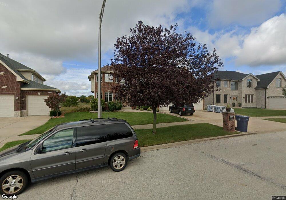
6030 Colgate Ln Matteson, IL 60443
West Matteson NeighborhoodEstimated Value: $408,000 - $520,000
6
Beds
5
Baths
3,607
Sq Ft
$130/Sq Ft
Est. Value
About This Home
This home is located at 6030 Colgate Ln, Matteson, IL 60443 and is currently estimated at $469,163, approximately $130 per square foot. 6030 Colgate Ln is a home located in Cook County with nearby schools including Colin Powell Middle School.
Ownership History
Date
Name
Owned For
Owner Type
Purchase Details
Closed on
Oct 11, 2005
Sold by
State Bank Of Countryside
Bought by
Barnes Craig and Barnes Laverne
Current Estimated Value
Home Financials for this Owner
Home Financials are based on the most recent Mortgage that was taken out on this home.
Original Mortgage
$360,953
Outstanding Balance
$185,292
Interest Rate
5.8%
Mortgage Type
Fannie Mae Freddie Mac
Estimated Equity
$283,871
Create a Home Valuation Report for This Property
The Home Valuation Report is an in-depth analysis detailing your home's value as well as a comparison with similar homes in the area
Home Values in the Area
Average Home Value in this Area
Purchase History
We collect this data history from publicly available records. To have your information removed, we recommend requesting removal directly through your county’s website.
| Date | Buyer | Sale Price | Title Company |
|---|---|---|---|
| Barnes Craig | $451,500 | Enterprise Land Title Ltd |
Source: Public Records
Mortgage History
We collect this data history from publicly available records. To have your information removed, we recommend requesting removal directly through your county’s website.
| Date | Status | Borrower | Loan Amount |
|---|---|---|---|
| Open | Barnes Craig | $360,953 |
Source: Public Records
Tax History
| Year | Tax Paid | Tax Assessment Tax Assessment Total Assessment is a certain percentage of the fair market value that is determined by local assessors to be the total taxable value of land and additions on the property. | Land | Improvement |
|---|---|---|---|---|
| 2025 | $16,865 | $44,001 | $5,368 | $38,633 |
| 2024 | $16,865 | $44,001 | $5,368 | $38,633 |
| 2023 | $13,172 | $44,001 | $5,368 | $38,633 |
| 2022 | $13,172 | $28,023 | $4,636 | $23,387 |
| 2021 | $13,344 | $28,022 | $4,635 | $23,387 |
| 2020 | $13,014 | $28,022 | $4,635 | $23,387 |
| 2019 | $14,610 | $30,169 | $4,147 | $26,022 |
| 2018 | $14,394 | $30,169 | $4,147 | $26,022 |
| 2017 | $14,028 | $30,169 | $4,147 | $26,022 |
| 2016 | $12,715 | $27,068 | $3,659 | $23,409 |
| 2015 | $12,421 | $27,068 | $3,659 | $23,409 |
| 2014 | $13,596 | $30,071 | $3,659 | $26,412 |
| 2013 | $14,147 | $33,381 | $3,659 | $29,722 |
Source: Public Records
Map
Nearby Homes
- 909 Berkshire Dr
- 6216 Pond View Dr
- 6158 White Birch Ln
- 910 Great Plains Ave
- 6037 Spring Ln
- 822 Tall Grass Trail
- 534 Quail Run Rd
- 997 Regent Dr
- 829 Princeton Ave
- 5631 Colgate Ln
- 920 Central Ave
- 21200 Alessandra Dr
- 953 Dartmouth Ave
- 21143 Gray Hawk Dr Unit 2554
- 21223 Alessandra Dr
- 21218 Shannon Ave
- 651 Central Ave
- 5747 Allemong Dr
- 21249 Sophia Dr
- 6503 Blue Sky Ln Unit 2502
- 6034 Colgate Ln
- 6026 Colgate Ln
- 6038 Colgate Ln
- 6022 Colgate Ln
- 6025 Colgate Ln
- 6021 Colgate Ln
- 6042 Colgate Ln
- 6018 Colgate Ln
- 6017 Colgate Ln
- 6014 Colgate Ln
- 6013 Colgate Ln
- 6010 Colgate Ln
- 6009 Colgate Ln
- 6101 Colgate Ln
- 6006 Colgate Ln
- 6102 Colgate Ln
- 6102 Colgate Ln
- 6106 Colgate Ln
- 6005 Colgate Ln
- 6106 Colgate Ln
Your Personal Tour Guide
Ask me questions while you tour the home.