6031 Leroux Rd Newport, MI 48166
Estimated Value: $289,000 - $401,000
1
Bed
1
Bath
1,680
Sq Ft
$214/Sq Ft
Est. Value
About This Home
This home is located at 6031 Leroux Rd, Newport, MI 48166 and is currently estimated at $358,988, approximately $213 per square foot. 6031 Leroux Rd is a home located in Monroe County with nearby schools including Jefferson High School and St. Charles Borromeo Academy.
Ownership History
Date
Name
Owned For
Owner Type
Purchase Details
Closed on
Oct 13, 2021
Sold by
Peterson Kevin and Peterson Terry
Bought by
Peters Michael Edward and Peters Tai
Current Estimated Value
Home Financials for this Owner
Home Financials are based on the most recent Mortgage that was taken out on this home.
Original Mortgage
$252,000
Outstanding Balance
$229,801
Interest Rate
2.8%
Mortgage Type
New Conventional
Estimated Equity
$129,188
Create a Home Valuation Report for This Property
The Home Valuation Report is an in-depth analysis detailing your home's value as well as a comparison with similar homes in the area
Home Values in the Area
Average Home Value in this Area
Purchase History
| Date | Buyer | Sale Price | Title Company |
|---|---|---|---|
| Peters Michael Edward | $315,000 | None Available |
Source: Public Records
Mortgage History
| Date | Status | Borrower | Loan Amount |
|---|---|---|---|
| Open | Peters Michael Edward | $252,000 |
Source: Public Records
Tax History Compared to Growth
Tax History
| Year | Tax Paid | Tax Assessment Tax Assessment Total Assessment is a certain percentage of the fair market value that is determined by local assessors to be the total taxable value of land and additions on the property. | Land | Improvement |
|---|---|---|---|---|
| 2025 | $3,318 | $117,500 | $117,500 | $0 |
| 2024 | $1,208 | $111,900 | $0 | $0 |
| 2023 | $1,157 | $102,100 | $0 | $0 |
| 2022 | $3,055 | $102,100 | $0 | $0 |
| 2021 | $2,489 | $86,400 | $0 | $0 |
| 2020 | $2,538 | $86,500 | $0 | $0 |
| 2019 | $2,459 | $86,500 | $0 | $0 |
| 2018 | $2,392 | $92,100 | $0 | $0 |
| 2017 | $850 | $92,100 | $0 | $0 |
| 2016 | $2,323 | $90,500 | $0 | $0 |
| 2015 | $2,247 | $76,600 | $0 | $0 |
| 2014 | $2,217 | $76,600 | $0 | $0 |
| 2013 | -- | $76,000 | $0 | $0 |
Source: Public Records
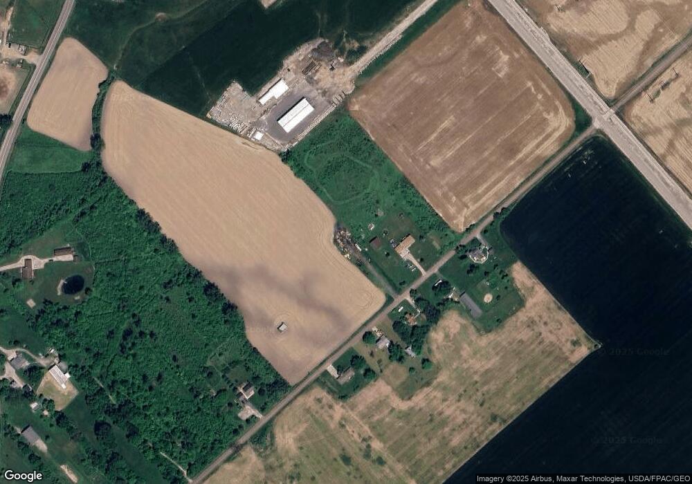
Map
Nearby Homes
- 5437 Mustang Dr
- 4992 Post Rd
- 4971 Elm St
- 4915 Elm St
- 0 Williams Rd Unit 50112219
- 4040 W Shore Ct
- 4511 Burke Rd
- 0 Noel Unit 50171800
- 4261 Brest Rd
- 00000 N Dixie Hwy
- 03 Joann Dr
- Vacant Lakeview
- 7458 Swan Creek Rd
- 4077 Brest Rd
- 4450 Sycamore Rd
- 5022 N Stoney Creek Rd
- 4930 Springside St
- 000 N Dixie
- 7164 Star Lane Rd
- 4468 Partridge Ln
- 6080 Leroux Rd
- 6110 Leroux Rd
- 6133 Leroux Rd
- 6130 Leroux Rd
- 6100 N Dixie Hwy
- 6167 Leroux Rd
- 5909 Leroux Rd
- 6042 N Dixie Hwy
- 5922 Leroux Rd
- 6164 N Dixie Hwy
- 6170 Leroux Rd
- 6015 N Dixie Hwy
- 5900 Leroux Rd
- 6039 N Dixie Hwy
- 5940 N Dixie Hwy
- 5993 N Dixie Hwy
- 5914 N Dixie Hwy
- 5848 Leroux Rd
- 6175 N Dixie Hwy
- 5832 Leroux Rd