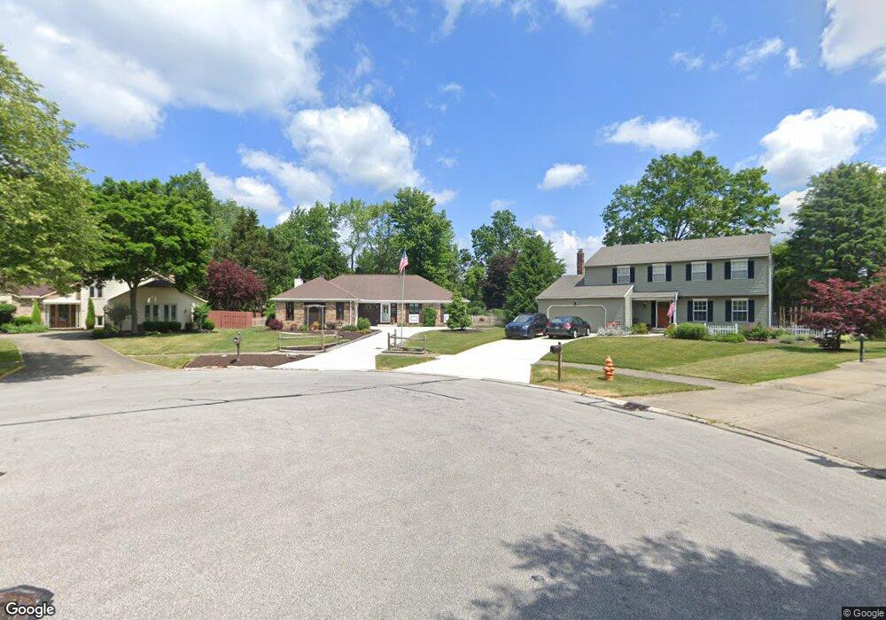
6033 Brook Cir North Olmsted, OH 44070
Estimated Value: $312,000 - $357,000
3
Beds
3
Baths
2,096
Sq Ft
$162/Sq Ft
Est. Value
About This Home
This home is located at 6033 Brook Cir, North Olmsted, OH 44070 and is currently estimated at $340,584, approximately $162 per square foot. 6033 Brook Cir is a home located in Cuyahoga County with nearby schools including Chestnut Intermediate Elementary School, Pine Intermediate School, and North Olmsted Middle School.
Ownership History
Date
Name
Owned For
Owner Type
Purchase Details
Closed on
Sep 25, 2008
Sold by
Butkiewicz Daniel E and Butkiewicz Joanne C
Bought by
Butkiewicz Daniel E and Butkiewicz Joanne C
Current Estimated Value
Purchase Details
Closed on
Nov 23, 1983
Bought by
Butkiewicz Daniel E and Butkiewicz Joanne
Purchase Details
Closed on
Dec 8, 1982
Bought by
Continental Fed S&L Assoc
Purchase Details
Closed on
Jan 1, 1979
Bought by
Della Vella Bldg Co
Create a Home Valuation Report for This Property
The Home Valuation Report is an in-depth analysis detailing your home's value as well as a comparison with similar homes in the area
Home Values in the Area
Average Home Value in this Area
Purchase History
| Date | Buyer | Sale Price | Title Company |
|---|---|---|---|
| Butkiewicz Daniel E | -- | None Available | |
| Butkiewicz Daniel E | $99,600 | -- | |
| Shore West Const Co | $19,500 | -- | |
| Continental Fed S&L Assoc | -- | -- | |
| Della Vella Bldg Co | -- | -- |
Source: Public Records
Tax History Compared to Growth
Tax History
| Year | Tax Paid | Tax Assessment Tax Assessment Total Assessment is a certain percentage of the fair market value that is determined by local assessors to be the total taxable value of land and additions on the property. | Land | Improvement |
|---|---|---|---|---|
| 2024 | $5,642 | $92,120 | $26,635 | $65,485 |
| 2023 | $5,894 | $81,340 | $17,850 | $63,490 |
| 2022 | $5,897 | $81,340 | $17,850 | $63,490 |
| 2021 | $5,337 | $81,340 | $17,850 | $63,490 |
| 2020 | $5,044 | $69,510 | $15,260 | $54,250 |
| 2019 | $4,908 | $198,600 | $43,600 | $155,000 |
| 2018 | $4,852 | $69,510 | $15,260 | $54,250 |
| 2017 | $4,807 | $62,760 | $13,690 | $49,070 |
| 2016 | $4,765 | $62,760 | $13,690 | $49,070 |
| 2015 | $4,631 | $62,760 | $13,690 | $49,070 |
| 2014 | $4,631 | $60,940 | $13,300 | $47,640 |
Source: Public Records
Map
Nearby Homes
- 6065 Brook Cir
- 31134 Lorain Rd
- 30630 Lorain Rd
- 5950 Bayberry Cir
- 30247 Lorain Rd
- 5652 Rock Point Cir
- 6321 Brighton Dr
- 6221 Brighton Dr
- 30960 Jasmine Ct Unit 68B
- 5828 Tree Moss Ln
- 5763 Creekside Ln
- 6305 Christman Dr
- 32583 Center Ridge Rd
- 7100 Barton Rd
- 30241 Sugar Sand Ln Unit 14B
- 29667 Bretton Ridge Dr
- 29861 Wellington Dr
- 7211 Lilac Ct
- 29408 Stewart Dr
- SL 22A Willow Woods Unit SL22A
- 6039 Brook Cir
- 6027 Brook Cir
- 5991 Wild Oak Dr
- 6045 Brook Cir
- 30837 Bradley Rd
- 30899 Bradley Rd
- 6051 Brook Cir
- 6057 Brook Cir
- 6015 Wild Oak Dr
- 5941 Wild Oak Dr
- 6040 Wild Oak Dr
- 6000 Wild Oak Dr
- 6070 Wild Oak Dr
- 5980 Wild Oak Dr
- 6083 Wild Oak Dr
- 5960 Wild Oak Dr
- 6000 Winding Creek Ln
- 5994 Winding Creek Ln
- 30958 Windy Hollow Ln
- 6096 Wild Oak Dr