60335 Nehalem Hwy N Vernonia, OR 97064
Estimated Value: $317,000 - $503,000
3
Beds
7
Baths
2,208
Sq Ft
$194/Sq Ft
Est. Value
About This Home
This home is located at 60335 Nehalem Hwy N, Vernonia, OR 97064 and is currently estimated at $429,056, approximately $194 per square foot. 60335 Nehalem Hwy N is a home located in Columbia County with nearby schools including Vernonia High School.
Ownership History
Date
Name
Owned For
Owner Type
Purchase Details
Closed on
Feb 1, 2007
Sold by
Hill Rocky R
Bought by
Hill Rocky and Hill Jeanne
Current Estimated Value
Home Financials for this Owner
Home Financials are based on the most recent Mortgage that was taken out on this home.
Original Mortgage
$229,000
Interest Rate
9.75%
Mortgage Type
Stand Alone Refi Refinance Of Original Loan
Create a Home Valuation Report for This Property
The Home Valuation Report is an in-depth analysis detailing your home's value as well as a comparison with similar homes in the area
Home Values in the Area
Average Home Value in this Area
Purchase History
| Date | Buyer | Sale Price | Title Company |
|---|---|---|---|
| Hill Rocky | -- | None Available |
Source: Public Records
Mortgage History
| Date | Status | Borrower | Loan Amount |
|---|---|---|---|
| Closed | Hill Rocky | $229,000 |
Source: Public Records
Tax History Compared to Growth
Tax History
| Year | Tax Paid | Tax Assessment Tax Assessment Total Assessment is a certain percentage of the fair market value that is determined by local assessors to be the total taxable value of land and additions on the property. | Land | Improvement |
|---|---|---|---|---|
| 2024 | $2,776 | $253,590 | $113,910 | $139,680 |
| 2023 | $2,761 | $246,210 | $105,200 | $141,010 |
| 2022 | $2,609 | $239,040 | $102,130 | $136,910 |
| 2021 | $2,537 | $232,080 | $100,790 | $131,290 |
| 2020 | $2,470 | $225,330 | $92,500 | $132,830 |
| 2019 | $2,241 | $218,770 | $88,990 | $129,780 |
| 2018 | $2,230 | $212,400 | $93,590 | $118,810 |
| 2017 | $2,182 | $206,220 | $90,870 | $115,350 |
| 2016 | $2,024 | $200,220 | $88,220 | $112,000 |
| 2015 | $1,846 | $194,390 | $72,810 | $121,580 |
| 2014 | $1,742 | $177,710 | $76,020 | $101,690 |
Source: Public Records
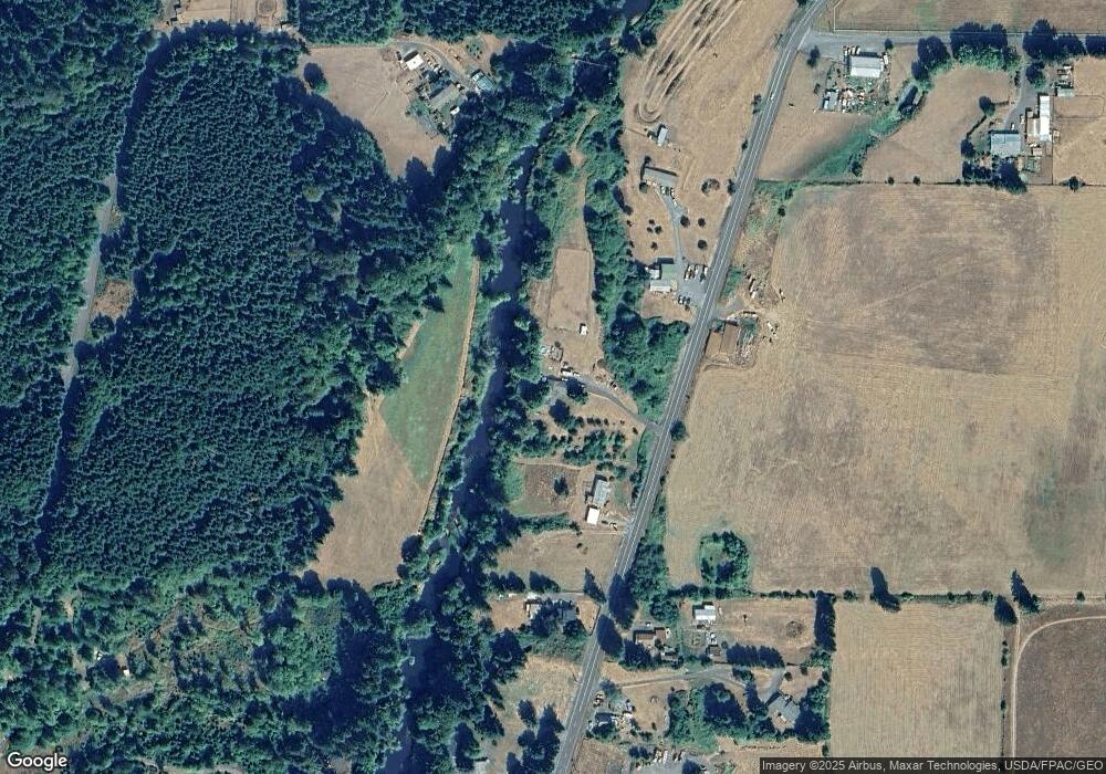
Map
Nearby Homes
- 0 Nehalem Hwy N
- 1852 N Mist Dr
- 18600 Mellinger Rd
- 251 E I St
- 233 E I St
- 144 E H St
- 158 E H St
- 669 N Mist Dr
- 0 Keasey Rd Unit 518725712
- 0 Ave Unit 439855536
- 935 Spencer Ave
- 959 Spencer Ave
- 0000 Keasey Rd
- 927 Spencer Ave
- 344 Mississippi Ave
- 815 Missouri Ave
- 487 Arkansas Ave
- 176 North St
- 821 Bridge St
- 441 North St
- 2387 N Mist Dr
- 62226 Nehalem Hwy N
- 60385 Highway 47
- 2379 N Mist Dr
- 2331 N Mist Dr
- 2324 N Mist Dr
- 2298 N Mist Dr
- 2165 N Mist Dr
- 2121 N Mist Dr
- 0 Parcel 23507 Unit 24590299
- 0 5n4w34-Cc-00701 Unit 18316157
- 18752 Mellinger Rd
- 0 Mist Dr Unit 149378
- 0 Mist Dr Unit 22530537
- 0 Mist Dr Unit 21305419
- 2021 N Mist Dr
- 2011 N Mist Dr
- 1999 N Mist Dr
- 1991 N Mist Dr