6034 Lily Patch Ct Newport, MI 48166
Berlin Township NeighborhoodEstimated Value: $203,000 - $399,591
2
Beds
2
Baths
2,184
Sq Ft
$147/Sq Ft
Est. Value
About This Home
This home is located at 6034 Lily Patch Ct, Newport, MI 48166 and is currently estimated at $321,148, approximately $147 per square foot. 6034 Lily Patch Ct is a home located in Monroe County with nearby schools including Jefferson High School and St. Charles Borromeo Academy.
Ownership History
Date
Name
Owned For
Owner Type
Purchase Details
Closed on
Jan 15, 2003
Sold by
Prucka Paul
Bought by
Masserant Dave and Masserant Terry
Current Estimated Value
Purchase Details
Closed on
Jun 6, 1997
Sold by
Parks Julia H
Bought by
Prucka Paul M and Prucka Whitney M
Home Financials for this Owner
Home Financials are based on the most recent Mortgage that was taken out on this home.
Original Mortgage
$133,000
Interest Rate
8.13%
Mortgage Type
New Conventional
Create a Home Valuation Report for This Property
The Home Valuation Report is an in-depth analysis detailing your home's value as well as a comparison with similar homes in the area
Home Values in the Area
Average Home Value in this Area
Purchase History
| Date | Buyer | Sale Price | Title Company |
|---|---|---|---|
| Masserant Dave | $110,000 | -- | |
| Prucka Paul M | $140,050 | -- |
Source: Public Records
Mortgage History
| Date | Status | Borrower | Loan Amount |
|---|---|---|---|
| Previous Owner | Prucka Paul M | $133,000 |
Source: Public Records
Tax History Compared to Growth
Tax History
| Year | Tax Paid | Tax Assessment Tax Assessment Total Assessment is a certain percentage of the fair market value that is determined by local assessors to be the total taxable value of land and additions on the property. | Land | Improvement |
|---|---|---|---|---|
| 2025 | $3,299 | $192,800 | $192,800 | $0 |
| 2024 | $1,448 | $231,700 | $0 | $0 |
| 2023 | $1,379 | $201,500 | $0 | $0 |
| 2022 | $2,983 | $201,500 | $0 | $0 |
| 2021 | $2,874 | $145,800 | $0 | $0 |
| 2020 | $4,058 | $151,400 | $0 | $0 |
| 2019 | $2,727 | $151,400 | $0 | $0 |
| 2018 | $2,698 | $140,500 | $0 | $0 |
| 2017 | $2,645 | $140,500 | $0 | $0 |
| 2016 | $2,697 | $126,100 | $0 | $0 |
| 2015 | $2,598 | $137,847 | $0 | $0 |
| 2014 | $2,512 | $137,847 | $0 | $0 |
| 2013 | -- | $106,360 | $0 | $0 |
Source: Public Records
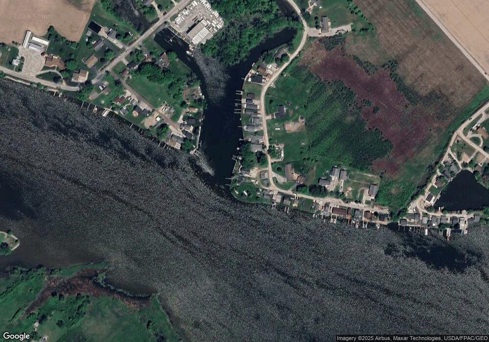
Map
Nearby Homes
- 7164 Star Lane Rd
- 03 Joann Dr
- Vacant Lakeview
- 6809 Lakeshore Dr
- 7462 Canal St
- 7458 Swan Creek Rd
- 4930 Springside St
- 8348 N Dixie Hwy
- 00000 N Dixie Hwy
- 7834 Swan Creek Rd
- 7405 Ottiellie St
- 0 N Dixie Hwy Unit 50186292
- 4468 Partridge Ln
- 8584 Cobblestone Dr
- 4325 Rolling Meadows Dr
- 8070 Hunters Ridge Dr
- 8091 Hunters Ridge Dr
- 8082 Hunters Ridge Dr
- 0 Lakeshore Dr Unit 50173302
- 8103 Hunters Ridge Dr
- 6040 Lily Patch Ct
- 6020 Lily Patch St
- 6024 Lily Patch Ct
- 6024 Lily Patch Ct
- 6038 Lily Patch Ct
- 6044 Lily Patch Ct
- 6020 Lily Patch Ct
- 6052 Lily Patch Ct
- 6056 Lily Patch Ct
- 6016 Lily Patch Ct
- 6008 Lily Patch Ct
- 6033 Lily Patch Ct
- 6033 Lily Patch Ct
- 6060 Lily Patch Ct
- 6060 Lily Patch Ct
- 6009 Lily Patch Ct
- 6006 Lily Patch Ct
- 6004 Lily Patch Ct
- 6004 Lily Patch Ct
- 6002 Lily Patch Ct