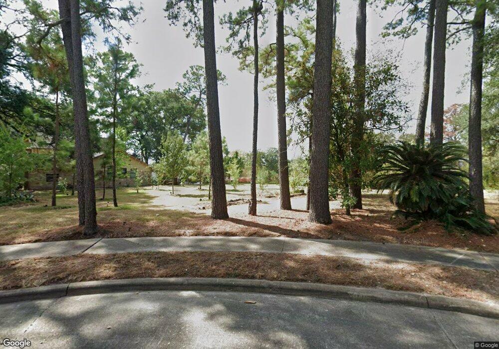
6035 Darkwood Dr Houston, TX 77088
Greater Inwood NeighborhoodEstimated Value: $107,000 - $307,417
3
Beds
2
Baths
2,147
Sq Ft
$100/Sq Ft
Est. Value
About This Home
This home is located at 6035 Darkwood Dr, Houston, TX 77088 and is currently estimated at $214,806, approximately $100 per square foot. 6035 Darkwood Dr is a home located in Harris County with nearby schools including Edward a Vines EC/Pre-K/K School, J. Ruth Smith Elementary, and Hoffman Middle School.
Ownership History
Date
Name
Owned For
Owner Type
Purchase Details
Closed on
Dec 21, 2018
Sold by
Clark Ken L and Clark Gerhild
Bought by
Harris County Flood Control District
Current Estimated Value
Purchase Details
Closed on
Feb 15, 1994
Sold by
Wood Kenneth R and Wood Lucille P
Bought by
Clark Ken L and Clark Gerhild
Home Financials for this Owner
Home Financials are based on the most recent Mortgage that was taken out on this home.
Original Mortgage
$100,425
Interest Rate
7.25%
Mortgage Type
VA
Create a Home Valuation Report for This Property
The Home Valuation Report is an in-depth analysis detailing your home's value as well as a comparison with similar homes in the area
Home Values in the Area
Average Home Value in this Area
Purchase History
| Date | Buyer | Sale Price | Title Company |
|---|---|---|---|
| Harris County Flood Control District | $197,019 | South Land Title Llc | |
| Clark Ken L | -- | Houston Title Company 514 |
Source: Public Records
Mortgage History
| Date | Status | Borrower | Loan Amount |
|---|---|---|---|
| Previous Owner | Clark Ken L | $100,425 |
Source: Public Records
Tax History Compared to Growth
Tax History
| Year | Tax Paid | Tax Assessment Tax Assessment Total Assessment is a certain percentage of the fair market value that is determined by local assessors to be the total taxable value of land and additions on the property. | Land | Improvement |
|---|---|---|---|---|
| 2025 | -- | -- | -- | -- |
| 2024 | -- | -- | -- | -- |
| 2023 | -- | -- | -- | -- |
| 2022 | $0 | $0 | $0 | $0 |
| 2021 | $0 | $0 | $0 | $0 |
| 2020 | $0 | $0 | $0 | $0 |
| 2019 | $0 | $0 | $0 | $0 |
| 2018 | $1,021 | $124,800 | $17,350 | $107,450 |
| 2017 | $860 | $143,739 | $17,350 | $126,389 |
| 2016 | $2,858 | $133,438 | $17,350 | $116,088 |
| 2015 | $705 | $133,438 | $17,350 | $116,088 |
| 2014 | $705 | $122,133 | $17,350 | $104,783 |
Source: Public Records
Map
Nearby Homes
- 7014 Bent Branch Dr
- 5906 Lawn Ln
- 6918 Bent Branch Dr
- 5914 Lawn Ln
- 5907 Darkwood Dr
- 6931 Wagonwheel Ln
- 7146 Bayou Forest Dr
- 6202 Wagonwheel Cir
- 7526 Antoine Dr
- 7727 Green Lawn Dr
- 6311 Fairwood Dr
- 7750 Green Lawn Dr
- 7218 Jadewood Dr Unit 770
- 7219 Ridge Oak Dr
- 5710 Council Grove Ln
- 7211 Deep Forest Dr
- 7402 Alabonson Rd Unit 506
- 7402 Alabonson Rd Unit 309
- 7402 Alabonson Rd Unit 510
- 7402 Alabonson Rd Unit 108
- 6031 Darkwood Dr
- 6039 Darkwood Dr
- 6027 Darkwood Dr
- 6034 Darkwood Dr
- 6030 Darkwood Dr
- 6043 Darkwood Dr
- 6038 Darkwood Dr
- 6023 Darkwood Dr
- 6026 Darkwood Dr
- 6019 Darkwood Dr
- 7011 Alabonson Rd
- 7017 Alabonson Rd
- 7019 Alabonson Rd
- 7015 Alabonson Rd
- 7021 Alabonson Rd
- 7023 Alabonson Rd
- 7013 Alabonson Rd
- 6006 Darkwood Dr
- 7103 Bayou Forest Dr
- 6015 Darkwood Dr