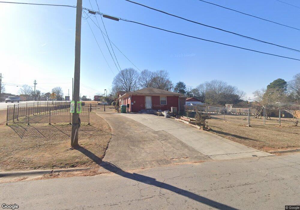
6035 Singleton Rd Unit 5 Norcross, GA 30093
Estimated Value: $341,000 - $354,563
4
Beds
4
Baths
1,620
Sq Ft
$213/Sq Ft
Est. Value
About This Home
This home is located at 6035 Singleton Rd Unit 5, Norcross, GA 30093 and is currently estimated at $345,854, approximately $213 per square foot. 6035 Singleton Rd Unit 5 is a home located in Gwinnett County with nearby schools including Meadowcreek Elementary School, Louise Radloff Middle School, and Meadowcreek High School.
Ownership History
Date
Name
Owned For
Owner Type
Purchase Details
Closed on
Mar 20, 2018
Sold by
Le Viet Hung
Bought by
Nguyen Dung Thi Ngoc and Viet Hung
Current Estimated Value
Purchase Details
Closed on
Dec 10, 2017
Sold by
Nguyen Dung Thi Ngoc
Bought by
Le Viet Hung
Purchase Details
Closed on
Jun 28, 2011
Sold by
United Bk
Bought by
Southeastern R/E Dev Llc
Purchase Details
Closed on
Jan 6, 2009
Sold by
Kommu Ameena V
Bought by
First Coweta Bk
Purchase Details
Closed on
May 6, 2008
Sold by
Kommu Ameena V and Kommu Ameena U
Bought by
Garofola Vincent and Garofola Christine
Create a Home Valuation Report for This Property
The Home Valuation Report is an in-depth analysis detailing your home's value as well as a comparison with similar homes in the area
Home Values in the Area
Average Home Value in this Area
Purchase History
| Date | Buyer | Sale Price | Title Company |
|---|---|---|---|
| Nguyen Dung Thi Ngoc | -- | -- | |
| Le Viet Hung | -- | -- | |
| Southeastern R/E Dev Llc | -- | -- | |
| First Coweta Bk | $209,497 | -- | |
| Garofola Vincent | $77,191 | -- |
Source: Public Records
Tax History Compared to Growth
Tax History
| Year | Tax Paid | Tax Assessment Tax Assessment Total Assessment is a certain percentage of the fair market value that is determined by local assessors to be the total taxable value of land and additions on the property. | Land | Improvement |
|---|---|---|---|---|
| 2025 | $3,141 | $74,400 | $22,000 | $52,400 |
| 2024 | $4,199 | $103,560 | $21,120 | $82,440 |
| 2023 | $4,199 | $76,400 | $24,000 | $52,400 |
| 2022 | $2,631 | $60,400 | $12,000 | $48,400 |
| 2021 | $3,817 | $92,760 | $52,440 | $40,320 |
| 2020 | $2,466 | $63,560 | $16,000 | $47,560 |
| 2019 | $2,262 | $57,560 | $13,600 | $43,960 |
| 2018 | $2,469 | $57,560 | $13,600 | $43,960 |
| 2016 | $1,482 | $34,760 | $10,400 | $24,360 |
| 2015 | $1,491 | $34,760 | $8,000 | $26,760 |
| 2014 | $1,496 | $34,760 | $8,000 | $26,760 |
Source: Public Records
Map
Nearby Homes
- 1665 Oakbrook Lake Dr
- 1368 Breezy Cir
- 1281 Rockfield Cir
- 1561 Danbury Dr
- 1415 Commercial Ct
- 1002 Rockbridge Rd
- 1576 Village Dr
- 5719 Singlebriar Ct
- 1596 Village Dr
- 1353 Harbins Ridge Dr Unit 36
- 5952 Robin Hood Ln
- 6419 Danbury Ln
- 5590 Stonewood Ct
- 6575 Story Cir
- 903 Redwood Dr
- 5775 Dekalb Ln
- 5665 Terremont Cir
- 3321 S Norcross Tucker Rd
- 1034 Redwood Dr
- 5969 Wintergreen Rd
- 6035 Singleton Rd
- 6045 Singleton Rd
- 6025 Singleton Rd
- 6052 Kay Dr Unit 3
- 6022 Kay Dr
- 6015 Singleton Rd
- 6042 Kay Dr Unit 3
- 6012 Kay Dr Unit 3
- 6005 Singleton Rd
- 6060 Kay Dr
- 6002 Kay Dr
- 5995 Singleton Rd
- 6031 Kay Dr
- 6041 Kay Dr Unit 3
- 6021 Kay Dr Unit 12
- 6021 Kay Dr
- 6051 Kay Dr
- 5992 Kay Dr Unit 3
- 5992 Kay Dr NW
- 6011 Kay Dr Unit 3