6035 Us Highway 64 Unit 264 Manns Harbor, NC 27953
Manns Harbor NeighborhoodEstimated Value: $280,000 - $1,241,000
2
Beds
1
Bath
1,008
Sq Ft
$629/Sq Ft
Est. Value
About This Home
This home is located at 6035 Us Highway 64 Unit 264, Manns Harbor, NC 27953 and is currently estimated at $634,034, approximately $629 per square foot. 6035 Us Highway 64 Unit 264 is a home located in Dare County with nearby schools including Manteo Elementary School, Manteo Middle School, and Manteo High School.
Ownership History
Date
Name
Owned For
Owner Type
Purchase Details
Closed on
Jul 22, 2009
Sold by
Mann Paul Harvey and Mann Robin Angela
Bought by
Rosman Jerod Andrew
Current Estimated Value
Home Financials for this Owner
Home Financials are based on the most recent Mortgage that was taken out on this home.
Original Mortgage
$264,800
Outstanding Balance
$174,747
Interest Rate
5.53%
Mortgage Type
Purchase Money Mortgage
Estimated Equity
$459,287
Purchase Details
Closed on
Mar 30, 2006
Sold by
Wise Edward W and Wise Virginia D
Bought by
Mann Paul Harvey and Mann Robin Angela
Home Financials for this Owner
Home Financials are based on the most recent Mortgage that was taken out on this home.
Original Mortgage
$364,000
Interest Rate
6.2%
Mortgage Type
Purchase Money Mortgage
Create a Home Valuation Report for This Property
The Home Valuation Report is an in-depth analysis detailing your home's value as well as a comparison with similar homes in the area
Home Values in the Area
Average Home Value in this Area
Purchase History
| Date | Buyer | Sale Price | Title Company |
|---|---|---|---|
| Rosman Jerod Andrew | $342,000 | None Available | |
| Mann Paul Harvey | $455,000 | None Available |
Source: Public Records
Mortgage History
| Date | Status | Borrower | Loan Amount |
|---|---|---|---|
| Open | Rosman Jerod Andrew | $264,800 | |
| Previous Owner | Mann Paul Harvey | $364,000 |
Source: Public Records
Tax History Compared to Growth
Tax History
| Year | Tax Paid | Tax Assessment Tax Assessment Total Assessment is a certain percentage of the fair market value that is determined by local assessors to be the total taxable value of land and additions on the property. | Land | Improvement |
|---|---|---|---|---|
| 2024 | $1,941 | $335,900 | $186,000 | $149,900 |
| 2023 | $1,345 | $341,558 | $186,000 | $155,558 |
| 2022 | $1,907 | $341,598 | $186,000 | $155,598 |
| 2021 | $1,931 | $352,177 | $186,000 | $166,177 |
| 2020 | $1,903 | $347,981 | $186,000 | $161,981 |
| 2019 | $1,615 | $245,000 | $133,100 | $111,900 |
| 2018 | $1,601 | $236,900 | $133,100 | $103,800 |
| 2017 | $1,484 | $229,900 | $133,100 | $96,800 |
| 2016 | $1,392 | $229,900 | $133,100 | $96,800 |
| 2014 | $1,387 | $229,900 | $133,100 | $96,800 |
Source: Public Records
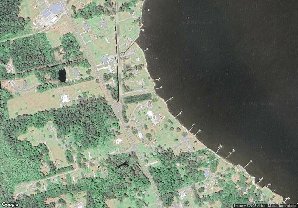
Map
Nearby Homes
- 5689 Old Ferry Dock Rd
- 0 Docks Unit slip R14 130572
- 0 Docks Unit Lot 15 125645
- 140 Fort Hugar Way Unit Lot 102
- 141 Tuscarora Ct
- 141 Tuscarora Ct Unit Lot 25
- 158 Fort Hugar Way Unit Lot 87
- 121 Fort Hugar Way Unit Lot 42
- 111 Fort Hugar Way Unit 37
- 148 Sunnyside Dr Unit Lot 2
- 128 Daphne Ln Unit Lot 17
- 274 Airport Rd Unit lot 50
- 118 Bradford Ln Unit 34
- 165 Shady Pines Ln Unit Lot 12
- 0 Holly Ridge Rd Unit Lot Parcel B 128689
- 1095 Burnside Rd Unit Lot B3
- 106 Fearing Place Unit Lot 2
- 201 Dare Ave Unit Lot 2
- 117 Old Nc Highway 345 Unit 106
- 193 Shady Pines Ln Unit Lot19
- 5536 Old Ferry Dock Rd
- 6043 Hwy 64/264 Unit 1
- 6049 Us Highway 64 Unit 264
- 5552 Old Ferry Dock Rd
- 6043 Us Highway 64 Unit 264
- 6053 Us Highway 64 Unit 264
- 5562 Old Ferry Dock Rd
- 6089 Us Highway 64 Unit 1,2,3
- 6089 Us Highway 64
- 6089 Us Highway 64 Unit 264
- 5941 Hwy 64/264
- 6038 Old Hwy 264
- 6038 Highway 64 264
- 6038 Us Highway 64 Unit 264
- 6113 U S 64
- 5594 Old Ferry Dock Rd
- 6113 Us Highway 64
- 6113 Us Highway 64 Unit 264
- 5608 Old Ferry Dock Rd
- 5913 Us Highway 64 Unit 264