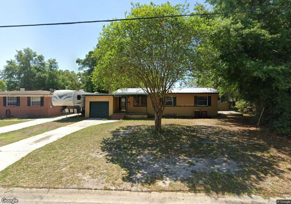
6036 Brookridge Rd Jacksonville, FL 32210
Cedar Hills NeighborhoodEstimated Value: $195,605 - $217,000
3
Beds
2
Baths
1,394
Sq Ft
$151/Sq Ft
Est. Value
About This Home
This home is located at 6036 Brookridge Rd, Jacksonville, FL 32210 and is currently estimated at $209,901, approximately $150 per square foot. 6036 Brookridge Rd is a home located in Duval County with nearby schools including Hidden Oaks Elementary, Westside Middle School, and Edward H. White High School.
Ownership History
Date
Name
Owned For
Owner Type
Purchase Details
Closed on
Dec 28, 2011
Sold by
Wilson Jane and Wilson Albert
Bought by
Lindt Christopher
Current Estimated Value
Purchase Details
Closed on
Mar 18, 2008
Sold by
Wilson Albert G and Wilson Jane S
Bought by
Wilson Jane S and Lindt Christopher
Home Financials for this Owner
Home Financials are based on the most recent Mortgage that was taken out on this home.
Original Mortgage
$92,400
Interest Rate
5.68%
Mortgage Type
Purchase Money Mortgage
Purchase Details
Closed on
Jun 28, 1994
Sold by
Pope Ann Baxley
Bought by
Wilson Albert G and Wilson Jane S
Home Financials for this Owner
Home Financials are based on the most recent Mortgage that was taken out on this home.
Original Mortgage
$54,000
Interest Rate
8.51%
Mortgage Type
Seller Take Back
Create a Home Valuation Report for This Property
The Home Valuation Report is an in-depth analysis detailing your home's value as well as a comparison with similar homes in the area
Home Values in the Area
Average Home Value in this Area
Purchase History
| Date | Buyer | Sale Price | Title Company |
|---|---|---|---|
| Lindt Christopher | -- | None Available | |
| Wilson Jane S | $31,600 | Boston National Title & Escr | |
| Wilson Albert G | $60,000 | -- |
Source: Public Records
Mortgage History
| Date | Status | Borrower | Loan Amount |
|---|---|---|---|
| Previous Owner | Wilson Jane S | $92,400 | |
| Previous Owner | Wilson Albert G | $54,000 |
Source: Public Records
Tax History
| Year | Tax Paid | Tax Assessment Tax Assessment Total Assessment is a certain percentage of the fair market value that is determined by local assessors to be the total taxable value of land and additions on the property. | Land | Improvement |
|---|---|---|---|---|
| 2026 | $2,907 | $141,739 | $54,633 | $87,106 |
| 2025 | $2,606 | $142,048 | -- | -- |
| 2024 | $2,489 | $142,841 | $54,000 | $88,841 |
| 2023 | $2,489 | $143,675 | $50,400 | $93,275 |
| 2022 | $2,086 | $117,076 | $32,400 | $84,676 |
| 2021 | $1,920 | $100,228 | $32,400 | $67,828 |
| 2020 | $1,788 | $93,440 | $21,600 | $71,840 |
| 2019 | $1,634 | $79,590 | $14,400 | $65,190 |
| 2018 | $1,614 | $77,981 | $14,400 | $63,581 |
| 2017 | $1,500 | $70,632 | $14,400 | $56,232 |
| 2016 | $1,452 | $67,174 | $0 | $0 |
| 2015 | $1,356 | $60,551 | $0 | $0 |
| 2014 | $1,308 | $57,374 | $0 | $0 |
Source: Public Records
Map
Nearby Homes
- 6124 Woodside Dr
- 6055 Wilson Blvd
- 6014 Woodside Dr
- 5753 Crestview Rd
- 2322 Woodridge Rd
- 2467 Ormsby Cir E
- 6171 Cedar Hills Blvd
- 2318 Barlad Dr
- 3434 Blanding Blvd Unit 212
- 3434 Blanding Blvd Unit 215
- 3434 Blanding Blvd Unit 101
- 3434 Blanding Blvd Unit 203
- 3434 Blanding Blvd Unit 124
- 3434 Blanding Blvd Unit 247
- 3434 Blanding Blvd Unit 236
- 3434 Blanding Blvd Unit 201
- 3434 Blanding Blvd Unit 240
- 3434 Blanding Blvd Unit 222
- 5756 Cherry Laurel Dr
- 3827 Colebrooke Dr
- 6028 Brookridge Rd
- 6042 Brookridge Rd
- 6101 Woodside Dr
- 6109 Woodside Dr
- 6029 Woodside Dr
- 6117 Woodside Dr
- 3443 Edgewater Dr
- 6020 Brookridge Rd
- 6043 Brookridge Rd
- 6029 Brookridge Rd
- 6019 Woodside Dr
- 3453 Edgewater Dr
- 6125 Woodside Dr
- 6019 Brookridge Rd
- 3423 Edgewater Dr
- 6012 Brookridge Rd
- 6102 Woodside Dr
- 6036 Woodside Dr
- 6013 Woodside Dr
- 6110 Woodside Dr
Your Personal Tour Guide
Ask me questions while you tour the home.