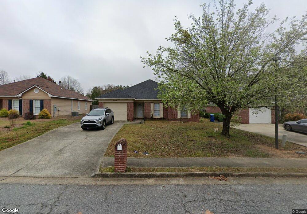
6036 N Pointe Dr Columbus, GA 31909
Northern Columbus NeighborhoodEstimated Value: $121,000 - $192,000
3
Beds
3
Baths
1,337
Sq Ft
$121/Sq Ft
Est. Value
About This Home
This home is located at 6036 N Pointe Dr, Columbus, GA 31909 and is currently estimated at $162,284, approximately $121 per square foot. 6036 N Pointe Dr is a home located in Muscogee County with nearby schools including Gentian Elementary School, Midland Middle School, and Hardaway High School.
Ownership History
Date
Name
Owned For
Owner Type
Purchase Details
Closed on
Apr 24, 2024
Sold by
Patterson Daniel B
Bought by
Buddypro Investments Llc
Current Estimated Value
Purchase Details
Closed on
Apr 11, 2024
Sold by
Milner Joseph Bryan
Bought by
Patterson Daniel B
Purchase Details
Closed on
Jul 16, 2018
Sold by
Smith Tom W
Bought by
Milner Joseph Bryan
Create a Home Valuation Report for This Property
The Home Valuation Report is an in-depth analysis detailing your home's value as well as a comparison with similar homes in the area
Home Values in the Area
Average Home Value in this Area
Purchase History
| Date | Buyer | Sale Price | Title Company |
|---|---|---|---|
| Buddypro Investments Llc | -- | None Listed On Document | |
| Buddypro Investments Llc | -- | None Listed On Document | |
| Patterson Daniel B | $95,000 | None Listed On Document | |
| Milner Joseph Bryan | -- | -- | |
| Smith Tom W | -- | -- |
Source: Public Records
Tax History Compared to Growth
Tax History
| Year | Tax Paid | Tax Assessment Tax Assessment Total Assessment is a certain percentage of the fair market value that is determined by local assessors to be the total taxable value of land and additions on the property. | Land | Improvement |
|---|---|---|---|---|
| 2025 | $2,501 | $63,892 | $9,732 | $54,160 |
| 2024 | $2,411 | $61,600 | $9,732 | $51,868 |
| 2023 | $2,426 | $61,600 | $9,732 | $51,868 |
| 2022 | $2,058 | $50,408 | $9,732 | $40,676 |
| 2021 | $2,043 | $46,528 | $9,732 | $36,796 |
| 2020 | $1,900 | $46,528 | $9,732 | $36,796 |
| 2019 | $1,906 | $46,528 | $9,732 | $36,796 |
| 2018 | $1,039 | $46,528 | $9,732 | $36,796 |
| 2017 | $1,049 | $46,528 | $9,732 | $36,796 |
| 2016 | $1,047 | $46,870 | $9,600 | $37,270 |
| 2015 | $419 | $46,870 | $9,600 | $37,270 |
| 2014 | $419 | $46,870 | $9,600 | $37,270 |
| 2013 | -- | $46,870 | $9,600 | $37,270 |
Source: Public Records
Map
Nearby Homes
- 5540 Rodgers Dr
- 5517 Rodgers Dr
- 5224 Miller Rd
- 5216 Moon Rd
- 4832 Rowland Ave
- 5636 Webb Ave
- 4813 Rowland Ct
- 3872 E Britt David Rd
- 4709 Rowland Ave
- 3710 Winkfield Place
- 3618 Grier Ave
- 4807 Fairview Dr
- 5921 Lawson St
- 5829 Moon Rd
- 5866 Morningside Dr
- 5915 Frazier Dr
- 5926 Frazier Dr
- 3504 Vernon Dr
- 4036 Wilbur Dr
- 4017 River Rock Way
- 6040 N Pointe Dr
- 6032 N Pointe Dr
- 6028 N Pointe Dr
- 6044 N Pointe Dr
- 6024 N Pointe Dr
- 6048 N Pointe Dr
- 6033 N Pointe Dr
- 6037 N Pointe Dr
- 6029 N Pointe Dr
- 0 N Pointe Dr
- 6041 N Pointe Dr
- 6020 N Pointe Dr
- 6025 N Pointe Dr
- 6052 N Pointe Dr
- 6045 N Pointe Dr
- 6021 N Pointe Dr
- 6016 N Pointe Dr
- 6049 N Pointe Dr
- 6056 N Pointe Dr
- 6017 N Pointe Dr