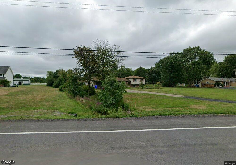
6037 E Canal Rd Lockport, NY 14094
Estimated Value: $321,000 - $433,000
3
Beds
2
Baths
1,722
Sq Ft
$224/Sq Ft
Est. Value
About This Home
This home is located at 6037 E Canal Rd, Lockport, NY 14094 and is currently estimated at $386,212, approximately $224 per square foot. 6037 E Canal Rd is a home located in Niagara County with nearby schools including Fricano Primary School, Regan Intermediate School, and Starpoint Middle School.
Ownership History
Date
Name
Owned For
Owner Type
Purchase Details
Closed on
Jun 30, 2023
Sold by
Robert & Barbara Manke Irrevocable Trust
Bought by
Manke Michael R
Current Estimated Value
Home Financials for this Owner
Home Financials are based on the most recent Mortgage that was taken out on this home.
Original Mortgage
$5,000
Outstanding Balance
$4,861
Interest Rate
6.79%
Mortgage Type
FHA
Estimated Equity
$381,351
Purchase Details
Closed on
Jan 4, 2021
Sold by
Manke Robert M and Manke Barbara
Bought by
Robert & Barbara Manke Irrevocable Trust
Purchase Details
Closed on
Jul 8, 1996
Sold by
Mohr Dennis J and Mohr Barbara
Bought by
Manke Robert M and Manke Barbara S
Purchase Details
Closed on
Sep 26, 1994
Sold by
Bartus Paul J-Helene E
Bought by
Mohr Dennis-Barbara
Create a Home Valuation Report for This Property
The Home Valuation Report is an in-depth analysis detailing your home's value as well as a comparison with similar homes in the area
Home Values in the Area
Average Home Value in this Area
Purchase History
| Date | Buyer | Sale Price | Title Company |
|---|---|---|---|
| Manke Michael R | $213,500 | None Listed On Document | |
| Robert & Barbara Manke Irrevocable Trust | -- | None Available | |
| Manke Robert M | $130,000 | -- | |
| Mohr Dennis-Barbara | $125,000 | -- |
Source: Public Records
Mortgage History
| Date | Status | Borrower | Loan Amount |
|---|---|---|---|
| Open | Manke Michael R | $5,000 | |
| Open | Manke Michael R | $140,000 |
Source: Public Records
Tax History
| Year | Tax Paid | Tax Assessment Tax Assessment Total Assessment is a certain percentage of the fair market value that is determined by local assessors to be the total taxable value of land and additions on the property. | Land | Improvement |
|---|---|---|---|---|
| 2024 | $6,565 | $171,000 | $26,200 | $144,800 |
| 2023 | $6,746 | $171,000 | $26,200 | $144,800 |
| 2022 | $6,450 | $171,000 | $26,200 | $144,800 |
| 2021 | $6,543 | $171,000 | $26,200 | $144,800 |
| 2020 | $5,036 | $171,000 | $26,200 | $144,800 |
| 2019 | $4,631 | $171,000 | $26,200 | $144,800 |
| 2018 | $4,805 | $171,000 | $26,200 | $144,800 |
| 2017 | $4,631 | $171,000 | $26,200 | $144,800 |
| 2016 | $4,545 | $171,000 | $26,200 | $144,800 |
| 2015 | -- | $171,000 | $26,200 | $144,800 |
| 2014 | -- | $171,000 | $26,200 | $144,800 |
Source: Public Records
Map
Nearby Homes
- 5773 Fisk Rd
- 5358 Murphy Rd
- 6148 Reger Dr
- 6035 S Transit Rd
- 6035 Transit/ 103 Fernwood Unit 103
- 125 Sherwood Dr
- 1052 Fernwood Dr
- 1218 Maplewood Dr
- 464 Jim Kelly Dr
- 288 Fox Hunt Dr
- 349 S Brookside
- 1262 Ridgewood Dr
- 1164 Timberwood Ct
- 6338 Hamm Rd
- 6224 Thornden Park Dr Unit C
- 6022 Allen St Unit B
- 701 Gardenwood Dr
- 109 B Elmhurst Dr
- 667 Gardenwood Dr Unit 667
- 248 Branch St Unit 248
- 6043 E Canal Rd
- 6049 E Canal Rd
- 6055 E Canal Rd
- 6061 E Canal Rd
- 5797 Robinson Rd
- 5803 Robinson Rd
- 6024 Bear Ridge Rd
- 5828 Robinson Rd
- 5809 Robinson Rd
- 5834 Robinson Rd
- 5948 Bear Ridge Rd
- 5821 Robinson Rd
- 5700 Lockport Rd
- 5840 Robinson Rd
- 5940 Bear Ridge Rd
- 5827 Robinson Rd
- 5936 Bear Ridge Rd
- 5846 Robinson Rd
- 5930 Bear Ridge Rd
- 5833 Robinson Rd
Your Personal Tour Guide
Ask me questions while you tour the home.